Earthquake · Guatemala · Active
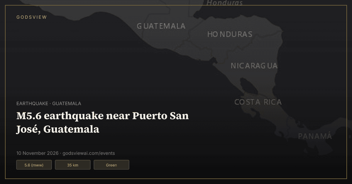
M5.6 earthquake near Puerto San José, Guatemala
Updated · First published
Open this location on the live map
Summary
A magnitude 5.6 earthquake occurred 43 km S of Puerto San José, Guatemala on 10 Nov 2026, 14:54 UTC, at a depth of 35 km, according to the U.S. Geological Survey (USGS).
USGS PAGER issued a green alert for this earthquake, with an estimated 830,690 people exposed to shaking of intensity IV or stronger.
GDACS rated the event green and estimated 569,238 people in MMI IV.
15 people submitted “Did You Feel It?” reports to the USGS.
Key figures
- Magnitude
- 5.6 (mww) (USGS)
- Depth
- 35 km (USGS)
- Origin time
- 10 Nov 2026, 14:54 UTC (USGS)
- Location
- 43 km S of Puerto San José, Guatemala (USGS)
- USGS PAGER alert
- Green (USGS PAGER)
- Max shaking (ShakeMap MMI)
- 4.2 (USGS)
- “Did You Feel It?” reports
- 15 (USGS DYFI)
- People exposed to MMI IV or stronger
- 830,690 (USGS PAGER)
- GDACS alert
- Green (GDACS)
- GDACS population in MMI IV
- 569,238 (GDACS)
- Review status
- Reviewed (USGS)
Population exposure (USGS PAGER)
- El Salvador: 12,574 people at MMI IV or stronger
- Guatemala: 818,116 people at MMI IV or stronger
Places with estimated shaking (USGS PAGER)
- Puerto San Jose (population 23,887) — estimated intensity MMI 4.2
- Sipacate (population 18,212) — estimated intensity MMI 4.1
- La Gomera (population 58,272) — estimated intensity MMI 4
- Iztapa (population 61,448) — estimated intensity MMI 3.9
- Nueva Concepcion (population 130,754) — estimated intensity MMI 3.7
- Masagua (population 48,552) — estimated intensity MMI 3.7
Timeline
Source times where the record has one; otherwise the time GodsView saw the change.
- — USGS reports a magnitude 5.6 earthquake 43 km S of Puerto San José, Guatemala, depth 35 km.
Questions
When did this earthquake happen?
The USGS origin time is 10 Nov 2026, 14:54 UTC.
How strong was the earthquake?
USGS reports magnitude 5.6 (mww) at 35 km depth.
What alert level did USGS PAGER give?
Green. PAGER levels estimate likely fatalities and economic losses from the shaking.
Where can I find official information?
From the original records: USGS. Links are listed under Sources on this page.
Sources
How this page is made
GodsView compiles this page automatically from public data: the U.S. Geological Survey (USGS) earthquake feeds, the Global Disaster Alert and Coordination System (GDACS) and NASA EONET. News stories are matched to the event by place, event type and publication time, and link to the original publishers. Figures are shown as the sources report them and may be revised. For warnings and safety advice, follow your local authorities.