FIRMS
Live wildfire map
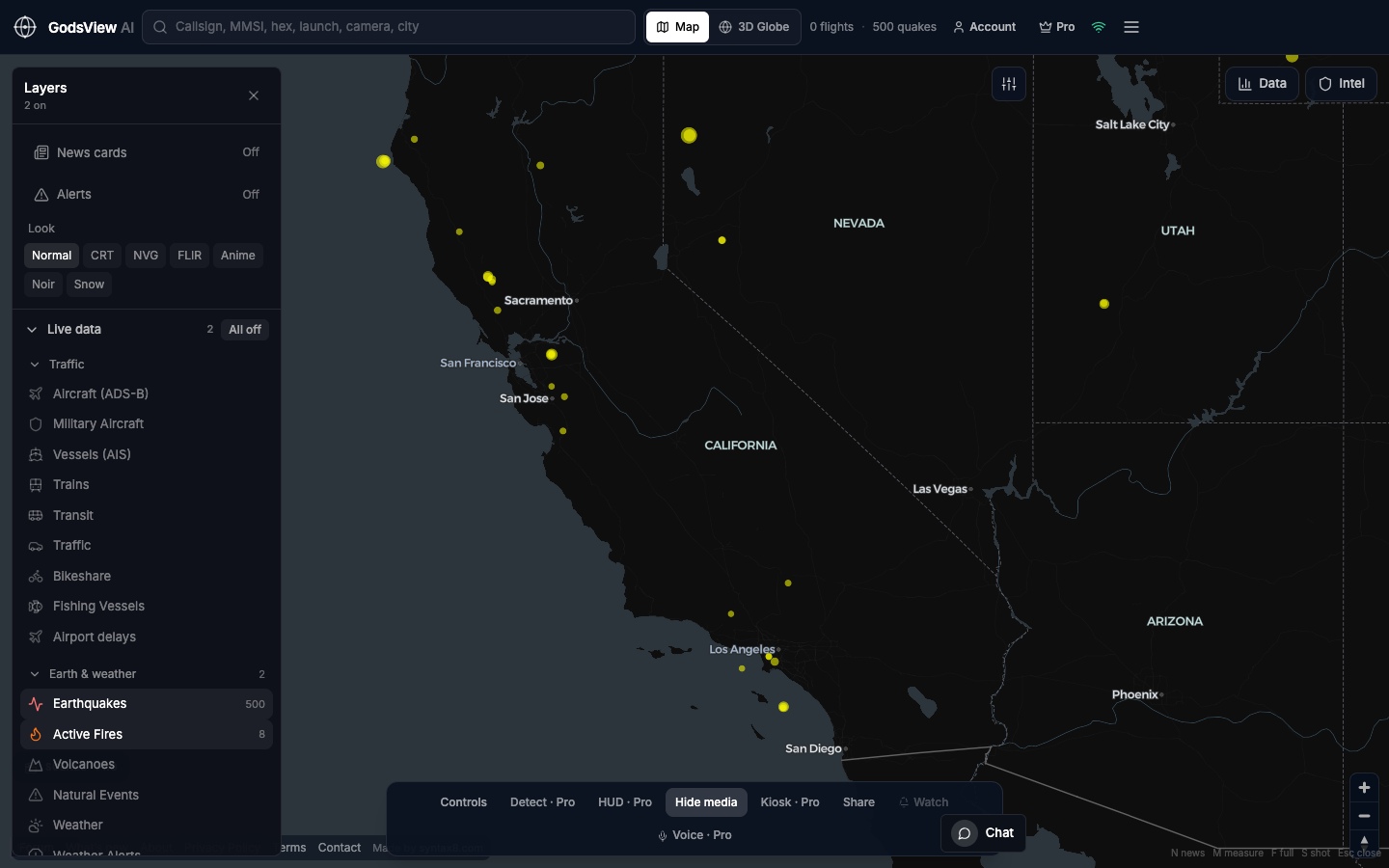
NASA FIRMS thermal detections over the western United States — heat, not a fire perimeter. NIFC, CAL FIRE, EFFIS, or the local incident page is still the order.
Long-tail searches like “global wildfire intelligence map” still resolve here: one hosted desk, honest FIRMS, optional earthquakes on a second step — never a Christmas tree of layers.
How to use this view
- Launch. Zoom to the state or country you care about.
- Click a cluster. Read detection time.
- Open the official incident page before you say “the fire.”
Data source, update rate, and limits
NASA FIRMS MODIS/VIIRS-class detections via our hosted poll. Cadence is tens of minutes, not live video.
Gas flares, industry, and sun glint can look like fire. Do not time an evacuation off this globe.
Questions
Is this acres burned?
No. It is satellite heat.
Fires near me?
Zoom to your region. Then confirm with the local agency. We are not a 911 map.
Why California first?
It is a common query. Pan anywhere; the layer is global.
Can I add earthquakes?
Yes, after the fire question is answered. Or use the earthquake page.
Do you compete with Current Wildfires sites?
They win on incident-level pages. We win as a scout on a multi-layer desk.
Related trackers
Optional email list: subscribe from the page in a browser, or open an account.