Common operating picture
GodsView AI for business
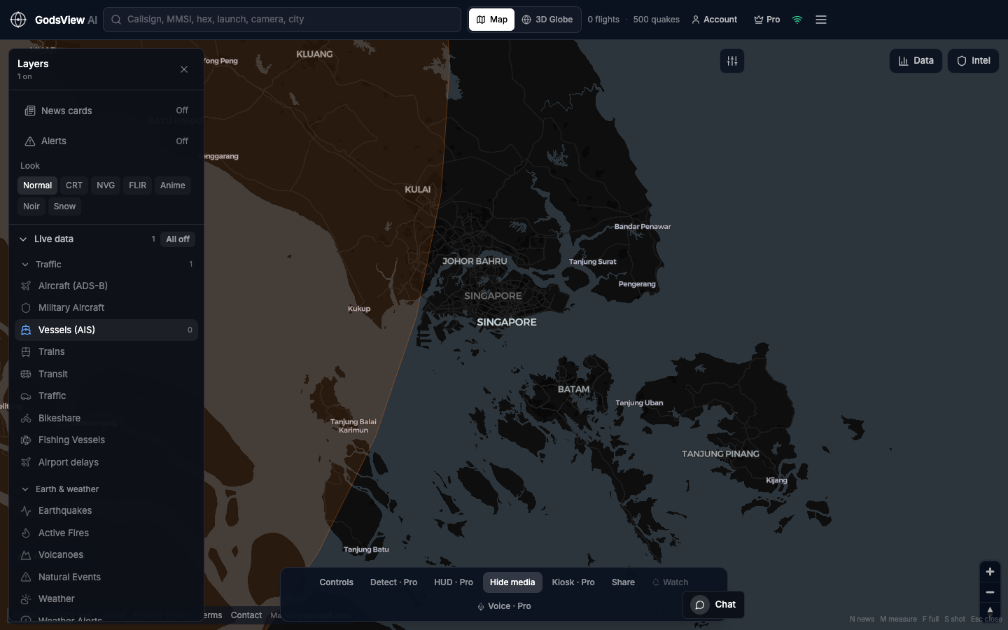
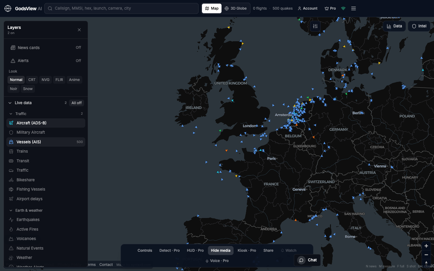
GodsView AI gives a team one shared live picture built from public data: ADS-B aircraft, AIS ships, USGS earthquakes, NASA FIRMS fires, weather and news on a hosted map that anyone can open from a bookmark. It works well as a first look, a briefing-room display or a training tool, next to the specialist systems a business already relies on for records and decisions.
Where it fits
- Logistics: check whether a strait, port or hub looks busy or quiet before your transport system updates
- Maritime operations: see vessel density around the ports you work with
- Insurance and risk: confirm whether a quake, fire or storm is near exposed sites, then go to the agency source
- Energy and utilities: view fires, quakes and weather alerts next to assets
- Commodity desks: keep an eye on major shipping chokepoints outside office hours
- Corporate security: show hazards, flights and news around a campus on a wall screen
- Communications teams: understand the geography before drafting a statement
- NGOs and emergency teams: public context next to your own system of record
- Training: one layer per lesson, in any browser
Ops Center and video wall
The Ops Center at /ops is free to view. It merges reports of the same incident from sources such as USGS, GDACS, NASA EONET, NWS, WHO and a broad news wire, scores each incident from 0 to 100, and lets you filter by region, severity and category before exporting CSV or JSON. The video wall at /ops/wall shows live news channels and public cameras in 1, 4, 9 or 16 tiles.
Where it does not fit
GodsView is not designed for sanctions compliance, voyage reconstruction, navigation, or any task that needs a historical archive of global ADS-B or AIS. Those need a specialist data provider. GodsView also does not offer a public API or self-hosting.
Why a hosted map works at work
A website is easy to roll out: IT can bookmark it on a security-desk PC, a producer can open it on a locked-down laptop, and a share link brings a colleague to the same view. There is nothing to install or maintain on your side.
Questions
Is GodsView AI an enterprise GEOINT platform?
No. GodsView is a hosted map of public data for first looks, briefings and training. For vessel history, sanctions screening, voyage reconstruction or archived ADS-B, use a specialist maritime or aviation data provider alongside it.
Can a team share one view?
Yes. Share links reopen the same map view, and the Ops Center can export incidents as CSV or JSON or copy a situation report. Kiosk mode (Pro) keeps a view running on a wall screen.
Related trackers
Optional email list: subscribe from the page in a browser, or open an account.