Open-source intelligence
Global OSINT map
A common picture from public data: hosted, filterable, and honest about gaps. It is not a classified fusion platform, and it is not Palantir.
Start with two or three layers. Add cameras or military ADS-B only when the question needs them. A rave of icons is not analysis.
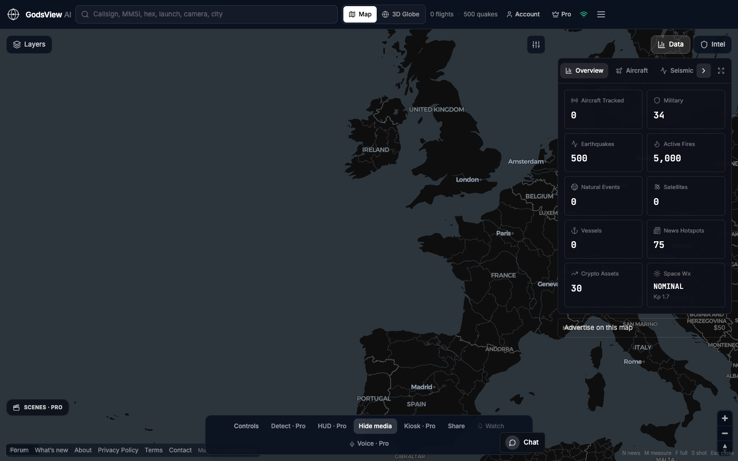
How to use this view
- Launch. You get flights, ships, earthquakes, and news as a starter pack.
- Subtract until the question is visible.
- Cite timestamps when you publish.
Data source, update rate, and limits
The same public feeds as the rest of the site. OSINT here means open collection, not secret access.
No finished intelligence, no sanctions engine, no identity resolution. Analysts still do the thinking.
Questions
Is this a Palantir alternative?
Only in the loose “map of open data” sense. Palantir sells enterprise ontology and classified workflows. We sell a hosted public globe.
Can a GSOC use it?
As a wall of public context. Not as access control.
Do you archive everything?
No global historical ADS-B lake on the free map.
Is news geocoded perfectly?
No. Country or city centroids can be wrong. Read the article.
Where should beginners start?
The how-to guide, then one tracker page at a time.
Related trackers
Optional email list: subscribe from the page in a browser, or open an account.