ADS-B
Live flight tracker
This view opens Aircraft (ADS-B) and turns every other layer off. Search a callsign, click a track, and read altitude and speed — a flight desk, not another app-store listing.
What you can do here
Follow civil traffic over Europe, the US coasts, and the North Atlantic where receivers exist. Open an airport page such as JFK or LHR for a hub-sized box. Military broadcasts are a separate tracker so this view stays readable.
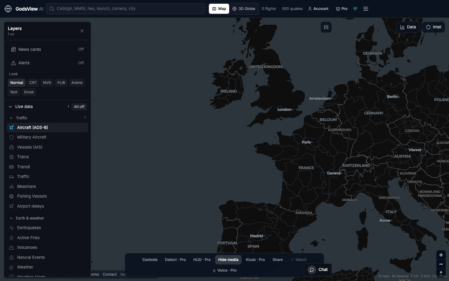
How to use this view
- Launch the map. Confirm the header flight count is rising.
- Search a callsign or hex if you have one.
- Click the aircraft. Read the data panel. Caption the time if you share a screenshot.
- Add Vessels or hazards only after the flight question is answered.
Data source, update rate, and limits
Public ADS-B aggregators (including OpenSky and adsb.lol-class feeds). Refresh is on the order of tens of seconds, not radar sweep.
Oceans and deserts drop out. Grounded or blocked transponders vanish. This is not Flightradar24’s historical product and not ATC.
Questions
Is this a Flightradar24 replacement?
No. Use Flightradar24 if you only follow airliners and want their archive. Use GodsView AI when flights sit next to ships, fires, or other public layers.
Do I need a receiver?
No. The hosted map already polls aggregators.
Why did a plane jump?
Reports arrive every few tens of seconds. We interpolate a short coast from the last real fix. We do not invent hours of flight.
Can I track one airport?
Yes. Open /airport/jfk (or another hub code) or search the city and zoom.
Where is military traffic?
On the military flight tracker. Keep civil ADS-B on there so you remember you are seeing broadcasts.
Related trackers
Optional email list: subscribe from the page in a browser, or open an account.