AIS
Live ship tracker
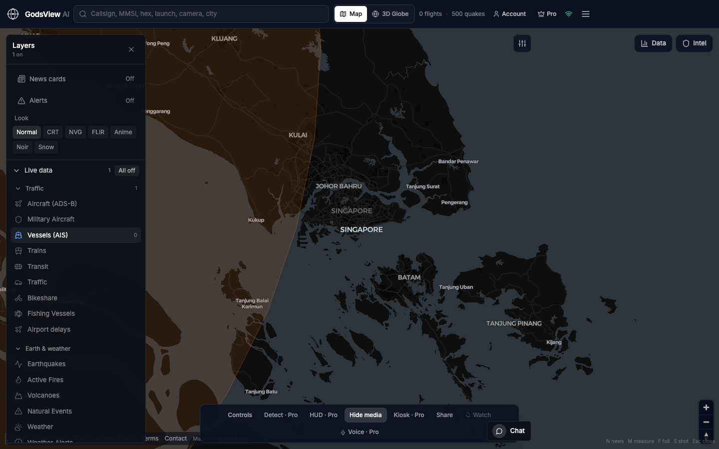
Vessels (AIS) only, starting at the Singapore Strait. Each icon is an MMSI that last reported a position and course. Pan to Rotterdam, the Channel, or Hormuz the same way.
Maritime awareness, not a naval plot
Density in a strait is a useful sniff-test. A missing hull is not a blockade. Dark, spoofed, or sat-AIS-only tracks need a commercial product when money is on the line.
How to use this view
- Launch. Confirm the vessel layer is the one that lights up.
- Zoom a port or strait you actually know.
- Search an MMSI if you have one.
- Add flights only if the story is a hub plus a harbor.
Data source, update rate, and limits
AIS from coastal and satellite-collected public streams we host. Positions update on the order of half a minute when reports arrive.
AIS is voluntary radio. Coverage is coastal-strong and ocean-thin. Voyage history and photos still belong to MarineTraffic-class tools.
Questions
Do I need an AIS key?
Not on GodsView AI.
Is every ship on the map?
No. Only hulls that are broadcasting and reaching a receiver we see.
Can I track fishing vessels?
Some fishing traffic appears when it transmits. It is not a complete fleet census.
What about warships?
Some broadcast. Many do not. Do not infer a navy from silence.
Is this good for insurance?
As a first look at whether a box is busy. Not as the system of record.
Related trackers
Optional email list: subscribe from the page in a browser, or open an account.