USGS
Live earthquake map
USGS events with time, magnitude, depth, and place. Civil defence and the USGS remain the warning path; this page is a live map you can read next to other public layers.
Aftershocks will pile up
A week-old magnitude 6 is not this morning’s headline unless it just happened. Click the event. Read origin time. Dedicated event pages exist when the quake is large enough to share.
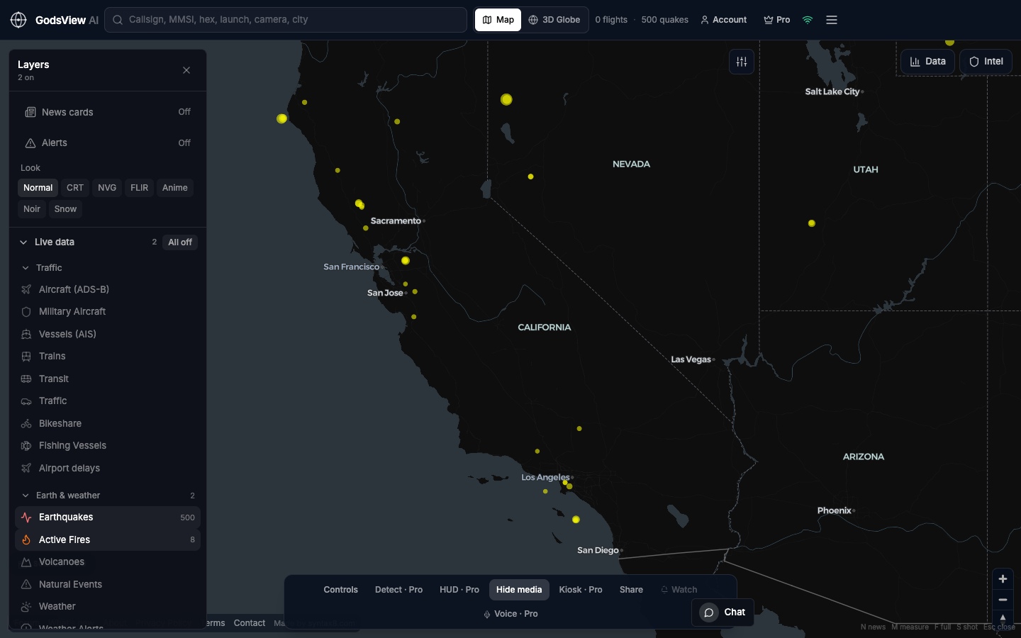
How to use this view
- Launch with Earthquakes only.
- Click a circle. Read time, depth, and place.
- Open the event URL if you intend to share.
- Add flights only if airports are the story.
Data source, update rate, and limits
USGS earthquake catalog. Refresh is on the order of minutes.
Not an early-warning pager. Felt reports and tsunami watches belong to official agencies. 3D is visualization, not a crustal model.
Questions
Is this earthquakes today?
It is the recent USGS feed on a live map. Filter by clicking and reading the timestamp.
Do you replace USGS?
No. We place their catalog on a hosted globe.
Why is an old quake still there?
Catalogs keep aftershocks and recent significant events. Always read the time.
Can I see flights over the epicenter?
Yes — after you understand the quake. Then add Aircraft.
Where is the wildfire map?
A separate page. Mixing both by default makes neither readable.
Related trackers
Optional email list: subscribe from the page in a browser, or open an account.