GNSS interference
Live GPS jamming map
Public GNSS interference reports, drawn next to civil aircraft. Aviation sites already document the impact on RNAV. This page is the same question on a hosted map you can filter.
Europe and the Middle East
Those regions dominate recent open reporting. Use the Europe explore URL when you want a saved frame. The Middle East is a pan on this map, not a second thin page.
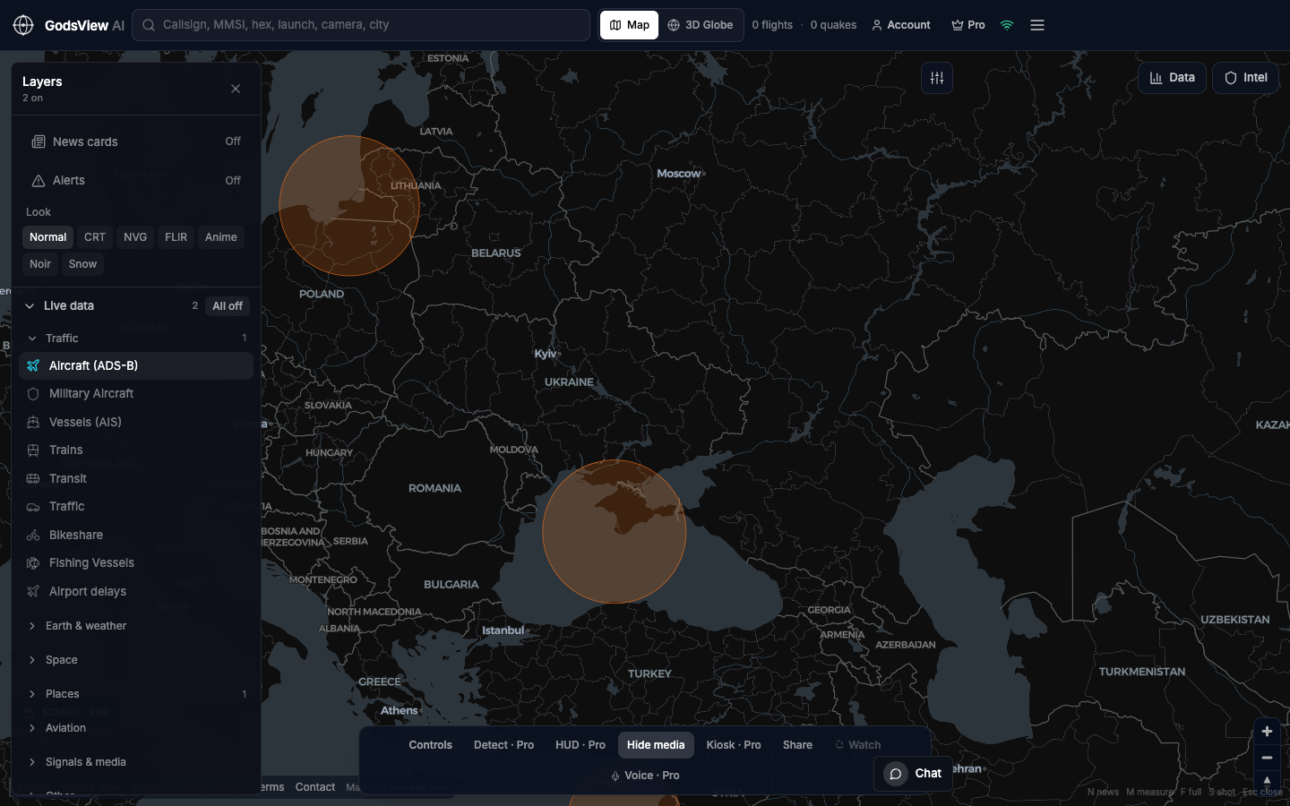
How to use this view
- Launch with GPS jamming and Aircraft on.
- Read the interference footprint, then the nearest flights.
- Do not claim a nation-state op from a colored polygon alone.
Data source, update rate, and limits
Public GNSS interference aggregators we poll. Cadence is slower than ADS-B.
Spoofing versus jamming is easy to confuse in a UI. This is not a military EW picture. Premium may gate the layer.
Questions
Is this live?
It is regularly updated public interference data, not a spectrum analyzer on a jet.
Why pair it with flights?
Pilots feel GNSS issues as degraded RNAV. The combination is the story.
Do you show spoofing separately?
When the source distinguishes it. Many feeds blend the terms. We stay conservative.
Can I use this for dispatch?
No. Use official NOTAMs and your airline’s ops.
Is the layer free?
If it is marked Pro in Layers, you will see the paywall. The explanation on this page stays free.
Related trackers
Optional email list: subscribe from the page in a browser, or open an account.