Earthquake · Canada · Active
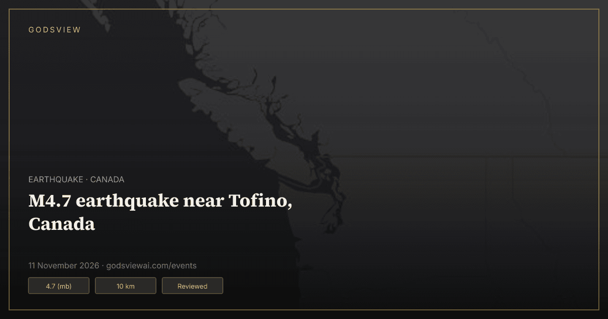
M4.7 earthquake near Tofino, Canada
Updated · First published
Open this location on the live map
Summary
A magnitude 4.7 earthquake occurred 130 km W of Tofino, Canada on 11 Nov 2026, 01:45 UTC, at a depth of 10 km, according to the U.S. Geological Survey (USGS).
The USGS record carries its tsunami flag, which marks a large event in an oceanic region. The flag is not a warning: tsunami warnings come from official tsunami warning centers.
Key figures
- Magnitude
- 4.7 (mb) (USGS)
- Depth
- 10 km (USGS)
- Origin time
- 11 Nov 2026, 01:45 UTC (USGS)
- Location
- 130 km W of Tofino, Canada (USGS)
- Tsunami flag
- Set on the USGS record (USGS)
- Review status
- Reviewed (USGS)
Timeline
Source times where the record has one; otherwise the time GodsView saw the change.
- — USGS reports a magnitude 4.7 earthquake 130 km W of Tofino, Canada, depth 10 km.
Questions
When did this earthquake happen?
The USGS origin time is 11 Nov 2026, 01:45 UTC.
How strong was the earthquake?
USGS reports magnitude 4.7 (mb) at 10 km depth.
Was there a tsunami warning?
The USGS tsunami flag is set on this event. It is not itself a warning; check the official tsunami warning centers for your region.
Where can I find official information?
From the original records: USGS. Links are listed under Sources on this page.
Sources
How this page is made
GodsView compiles this page automatically from public data: the U.S. Geological Survey (USGS) earthquake feeds, the Global Disaster Alert and Coordination System (GDACS) and NASA EONET. News stories are matched to the event by place, event type and publication time, and link to the original publishers. Figures are shown as the sources report them and may be revised. For warnings and safety advice, follow your local authorities.