Hazards
NASA FIRMS on a Live Map: Heat, Not Acres
NASA FIRMS reports heat from polar-orbiting and geostationary sensors. A point means something was warm when the satellite looked—not necessarily a named wildfire with a drawn perimeter. Agriculture, flares, and structure fires can appear similar at coarse resolution. Incident teams use ground truth and IR perimeters; your job on a public map is location, cluster, and time.
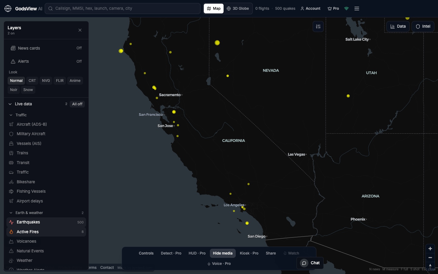
Layers → All off → Active Fires (and Earthquakes if you are on a hazard desk). Then open NIFC, CAL FIRE, EFFIS, or local agencies for names, containment, and evacuations. Describe FIRMS as detections. Do not quote acreage from the globe alone.
Optional email list: subscribe from the page in a browser, or open an account.