Aviation
North Atlantic Tracks on a Live Map
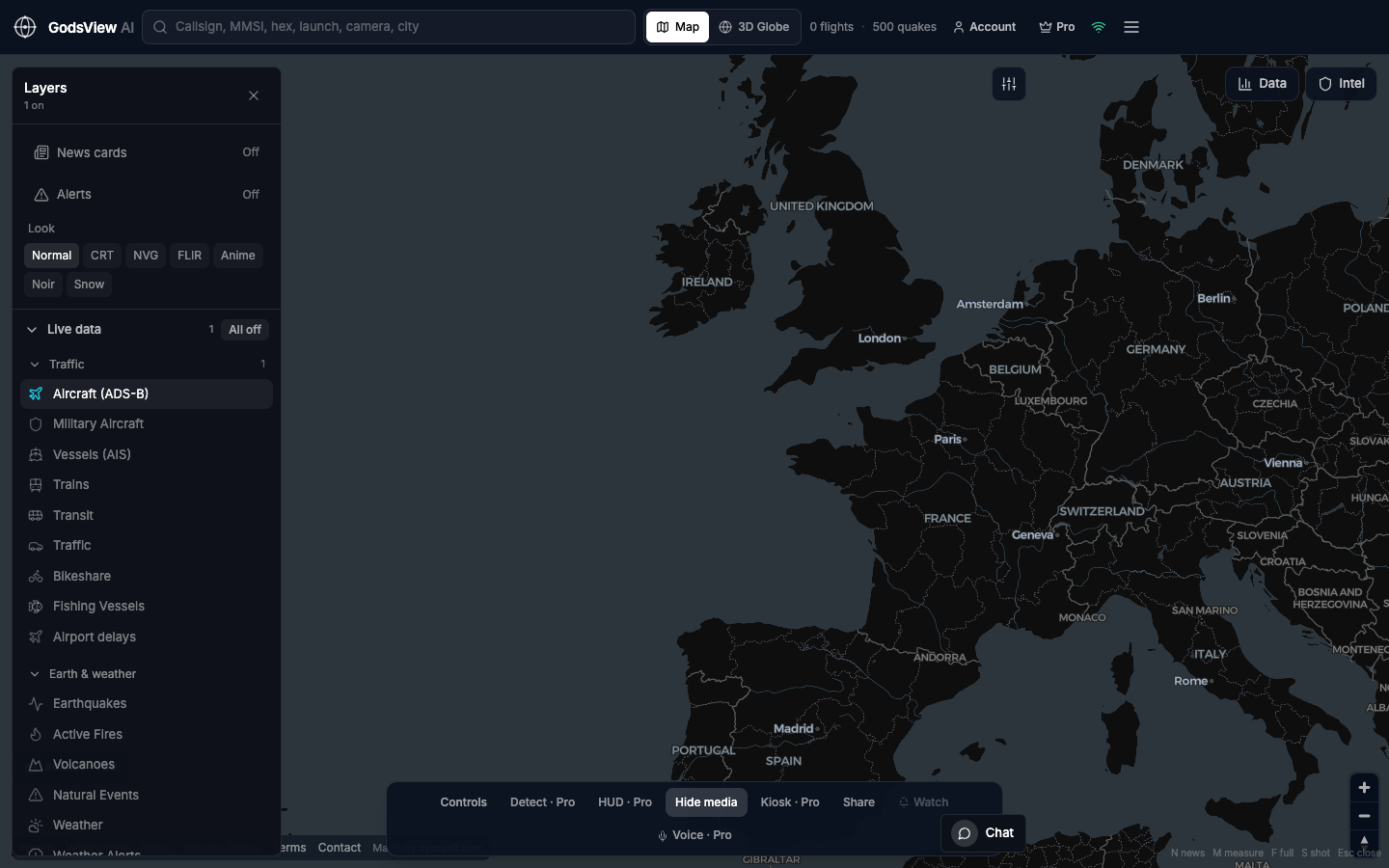
The North Atlantic at evening is a classic flight-map view. Enable Aircraft and disable other layers. Zoom until tracks form recognizable flows. You will also see gaps—space-based ADS-B helps but does not turn the ocean into complete radar coverage. That honesty is useful for aviation literacy.
Optional email list: subscribe from the page in a browser, or open an account.