Use cases
What GodsView AI is for
GodsView AI is a hosted live map of public Earth. The useful question is not “how many layers.” It is “what are you trying to see in the next ten minutes.” These are the jobs people actually bring to the globe.
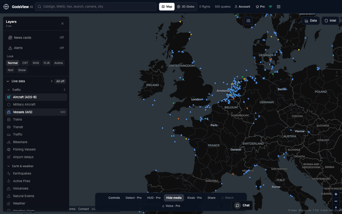
Newsrooms and breaking stories
A wire hits: quake, fire complex, airspace scare, a ship that stopped answering. Before you write the lede you want a geographic pulse. Open the map. Enable only the layer that matches the story. Zoom to the place. Check whether flights still cross, whether AIS is dense or empty, whether FIRMS is a pixel or a field. Then go to the agency page for names and orders. The map is the scout. It is not the press conference.
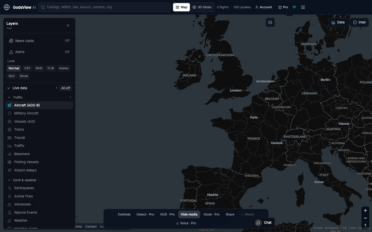
Aviation, from hobby to desk
Aircraft on, everything else off. Follow a callsign. Watch the North Atlantic tracks at dusk. Keep civil flights on if you are looking at military ADS-B so you remember you are seeing broadcasts, not a targeting picture. Search beats wandering. The data panel beats a screenshot with no time on it.
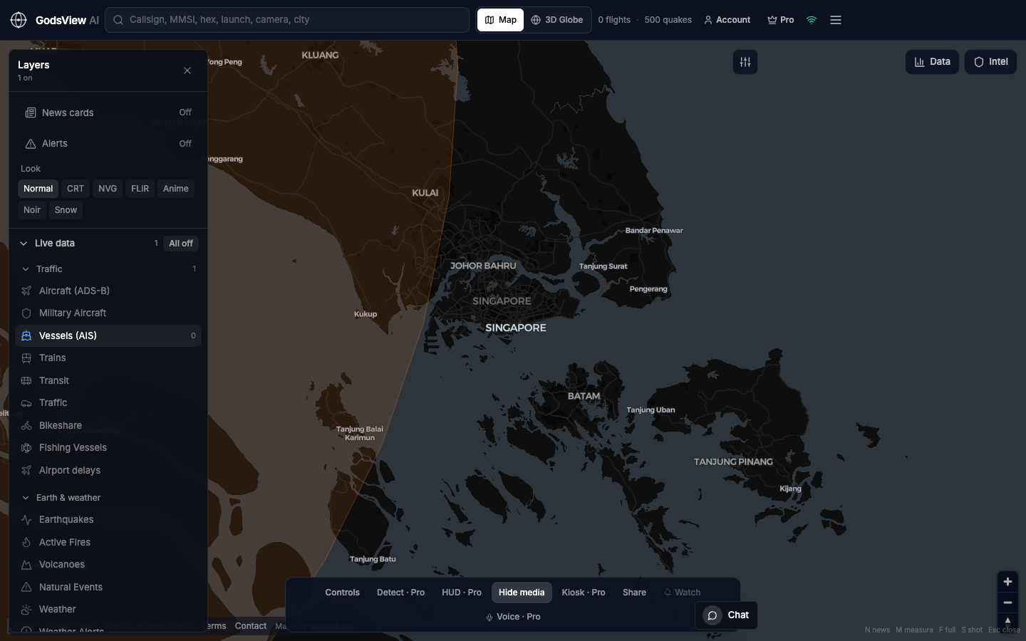
Ships and chokepoints
Vessels on. Zoom a strait, a gulf, a port approach. AIS is “ships that are talking,” not every hull on Earth. Combined with flights it is a picture of a corridor, not two apps and a memory.
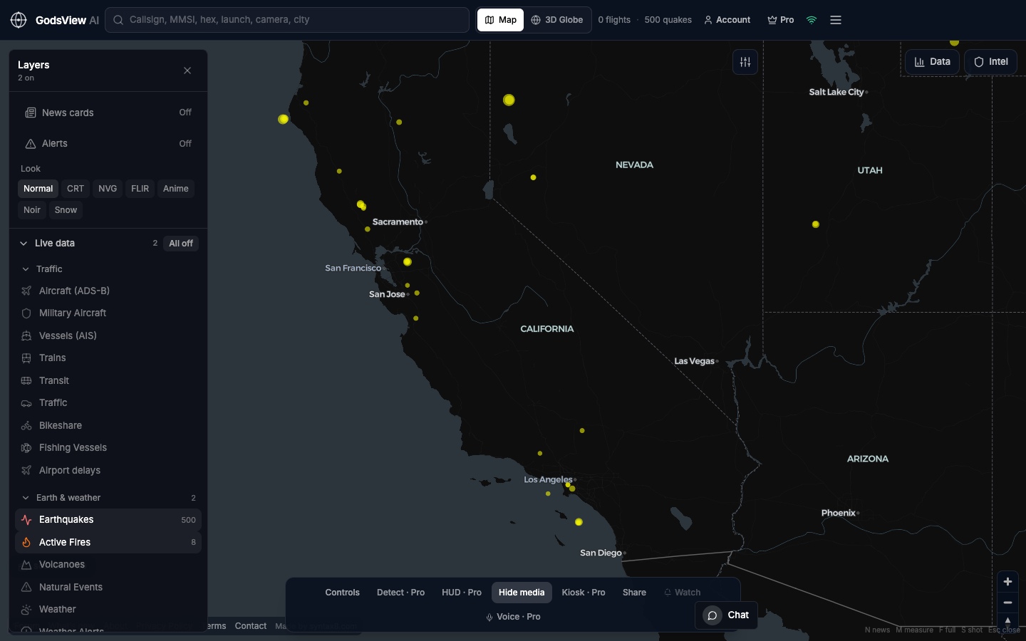
Disasters without the panic UI
Earthquakes and fires only. Read time and depth on a quake. Read FIRMS as heat, not acres. Put the hazard next to traffic only after you understand the hazard. Do not time an evacuation off a hobby globe.
Classrooms and public explainers
A live Earth on a projector is a better lecture than a static atlas if you keep the layer count honest. One question per view. ADS-B today. AIS tomorrow. USGS after a felt quake. Students see coverage holes. That is the lesson: the network is not the planet.
A wall, a night shift, a watchlist
Kiosk mode is for a TV that should keep showing the world. Watchlists are for the object you will still care about in an hour. Neither is required to look. Both are why a hosted map beats a local clone that dies when the laptop lid closes.
Longer versions of these jobs live on the blog. The map is the product. Use it with fewer layers than you think you need.
Optional email list: subscribe from the page in a browser, or open an account.