Business
Business Use Cases for a Live Global Intelligence Map
Enterprise geospatial platforms serve marine insurance, commodity trading, and defense with deep archives and analytics. GodsView AI is not that tier. It is a hosted map of public feeds you can bookmark or display on a wall—a quick geographic check before you open paid systems.
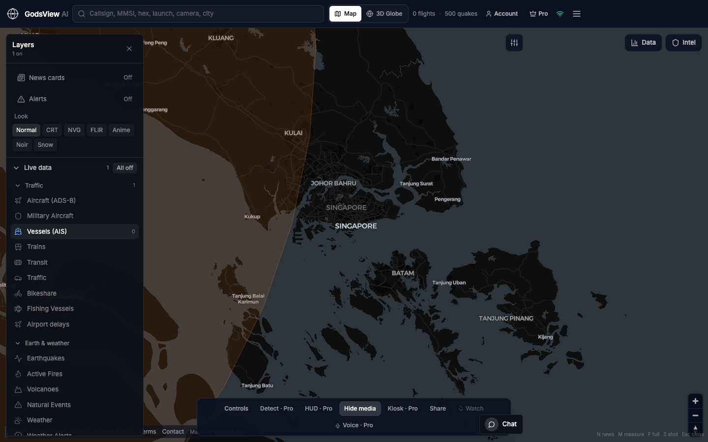
Logistics and supply chain
ERP systems show what was scanned; a live map shows whether a strait, port, or air corridor still looks active. Enable Vessels for maritime questions, Aircraft for airport hubs, and hazard layers when fires or earthquakes matter. Then return to your TMS or planning tools. The map is a scout, not a system of record.
You will not get SAR hull matching from public ADS-B. You will see whether the Channel or a gulf looks busy right now without a sales call.
Maritime operations
Monitor a port or chokepoint. Search an MMSI you already have. AIS shows vessels that are broadcasting; coverage gaps and dark ships are real limits. Many teams use this as a second screen beside a commercial tracker.
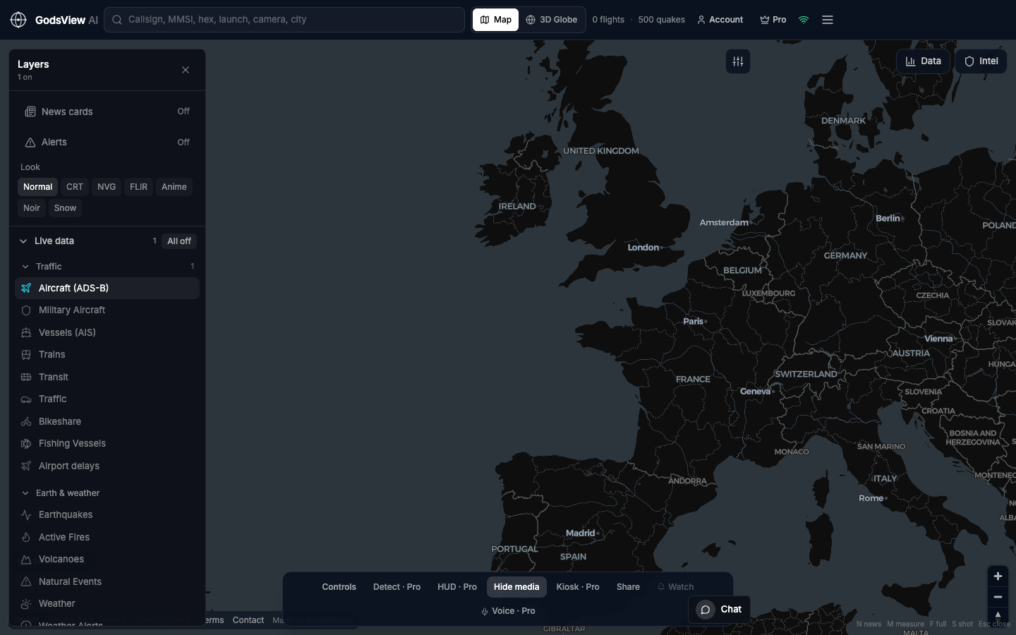
Insurance and risk
CAT and marine desks rely on peril models and vendor platforms for binding decisions. GodsView AI fits earlier in the workflow: is the earthquake in the right region, is FIRMS showing a cluster, is AIS active near the port? Timestamp any screenshot, then open USGS or your specialist tool. Do not price risk from a consumer map alone.
Energy and utilities
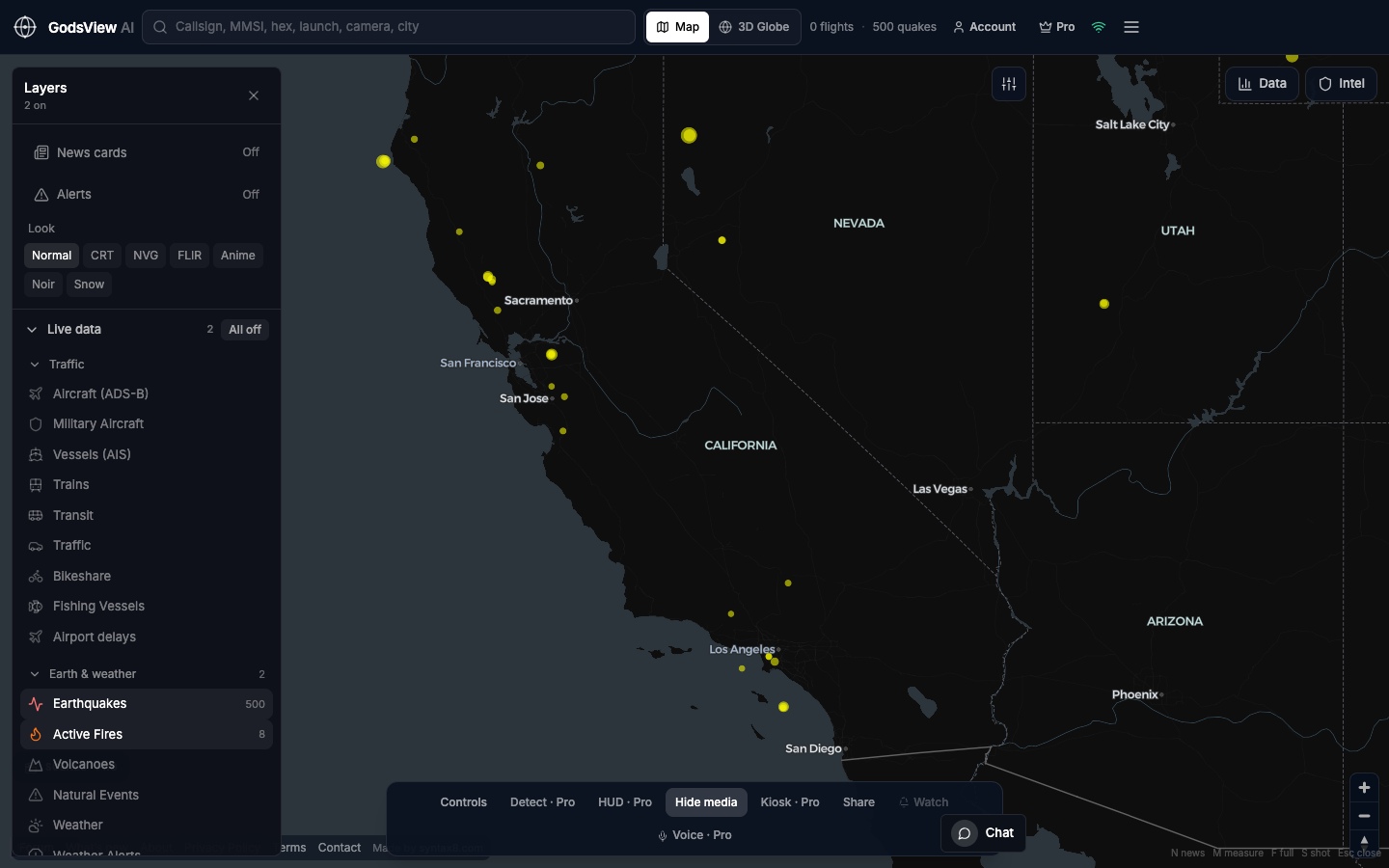
Storms, fires, and quakes near plants, dams, and grid assets. Turn hazard layers on first; add infrastructure or weather layers when the question is about a specific asset. A TV in kiosk mode beats a laptop demo that stops when the machine sleeps.
News, research, NGOs, and classrooms
Reporters, analysts, humanitarian staff, and instructors often need geography before narrative. Public feeds on one URL support that workflow without a procurement cycle.
What this is not
- Not navigation, targeting, or a sanctions compliance system of record
- Not a replacement for dedicated maritime, aviation, or GEOINT platforms
- A hosted live map of public Earth for awareness, training, and first look
Optional email list: subscribe from the page in a browser, or open an account.