Hazards
California Wildfire Map: Live FIRMS in a Browser
A useful California wildfire view is FIRMS zoomed to the state—not every global layer at once. On GodsView AI: All off, Active Fires, optionally Earthquakes on a hazard desk. Zoom to California, click clusters, read detection times.
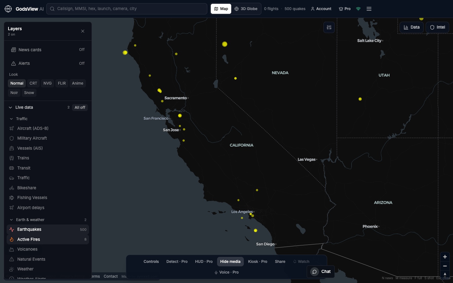
Then open CAL FIRE, InciWeb, or local incident pages for perimeters, containment, and evacuations. FIRMS is satellite-detected heat. Agricultural and prescribed burns also appear—describe detections accurately in captions.
Optional email list: subscribe from the page in a browser, or open an account.