Use cases
Following a Storm, Fire, or Quake on GodsView AI
During storms, fires, or earthquakes, live maps help when used with discipline. GodsView AI shows USGS, FIRMS, weather, and optional traffic layers in a browser. It is not an emergency operations center—treat it as a scout that points you to official information.
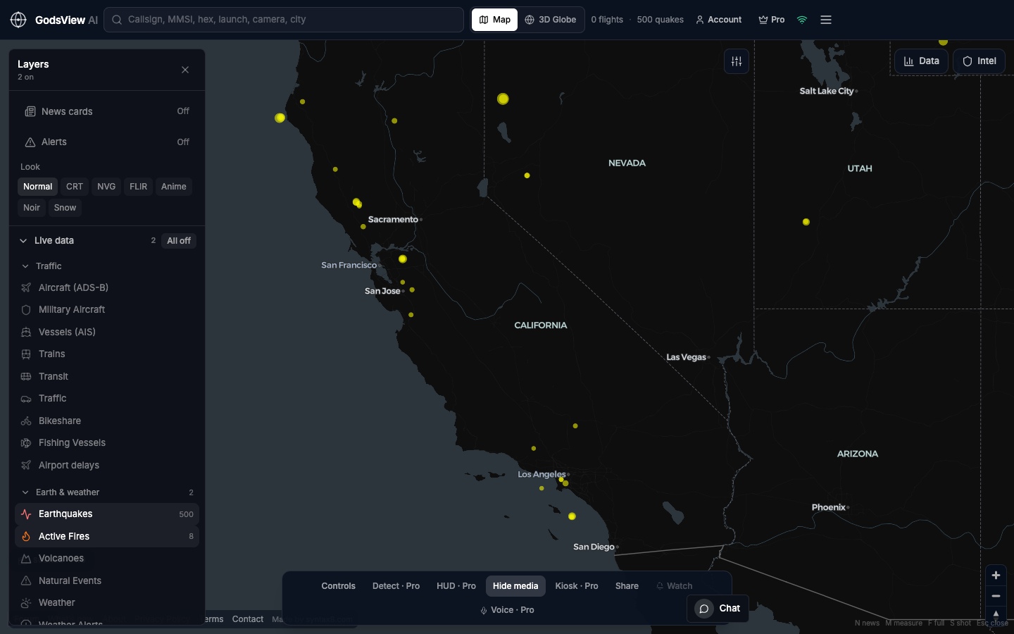
Choose the phenomenon
Earthquakes only for seismic events. Active Fires for thermal news. Weather layers when storms are the story. Add flights when smoke or closures affect aviation; add Vessels when ports or straits matter. Add traffic second, after the hazard layer makes sense.
Read timestamps and fields
For earthquakes: time, magnitude, depth, place, event id. For FIRMS: detection time and remember pixel-level limits. For storms: official warning products, not basemap drama alone. Without a time, do not caption a grab as "now."
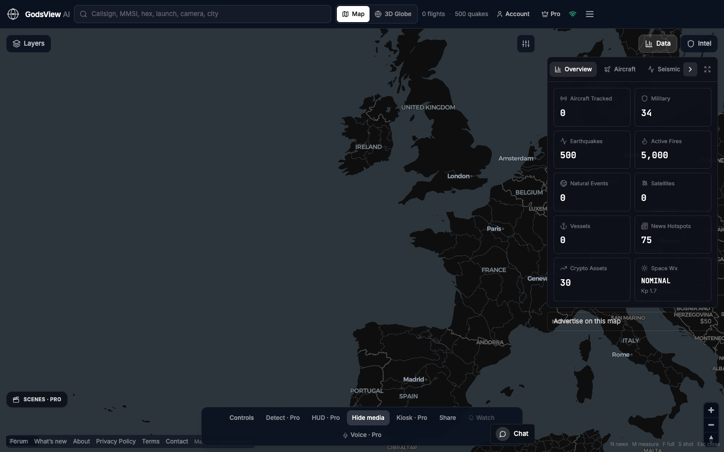
Traffic as follow-up
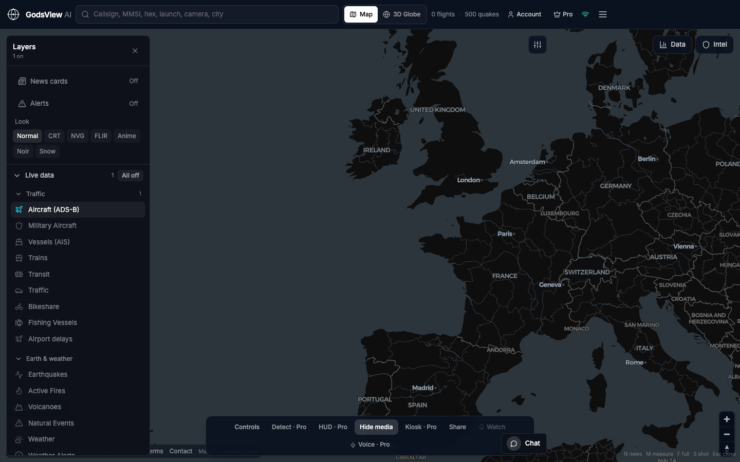
Fire upwind of an airport is a different story from fire in empty terrain—Aircraft answers the aviation piece after you understand the fire. Quiet AIS in a usually busy strait needs zoom and time context before strong claims.
Hand off to authorities
Emergency management, USGS event pages, weather services, airlines, and port authorities publish names and orders. GodsView AI helps you aim those lookups; it does not replace them.
Why hosting matters
Disasters do not wait for local API key hunts. Bookmark godsviewai.com, keep layers focused, and leave the tab ready.
Optional email list: subscribe from the page in a browser, or open an account.