Signals
How to Read a Live GPS Jamming Map
Most people meet GPS jamming as a tweet. The useful version is a map. On GodsView you turn on the jamming layer, leave flights on, and look at whether traffic is still crossing the same square. That is the whole method.
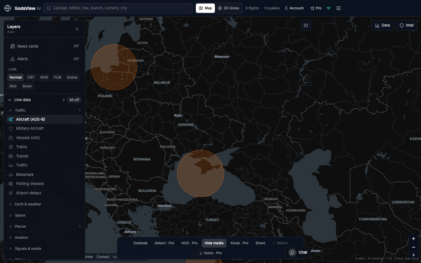
What the layer is actually saying
These are public GNSS disruption reports, not a classified jammer hunt. A painted zone means receivers in that area are having a bad time. It does not name a ship, a battery, or a person. If you write “Russia jammed GPS” from a pastel blob, you are ahead of the evidence.
I treat it like weather. The cell is wet. I still need a gauge and a clock.
A two-minute desk
- Layers → All off. Then GPS jamming. Then Aircraft if you care about the sky.
- Fly to the corridor people are arguing about. Black Sea, eastern Baltic, Levant. Wait a few seconds.
- Click a zone. Note the source line and the time. Screenshot with the clock visible.
- Ask one question: are ADS-B tracks still drawing through it, or did the sky go quiet?
What I do not do
- I do not call a crew from a hex.
- I do not stack every layer. Jamming plus ten other paints is a poster, not a check.
- I do not leave the layer on overnight and call the morning picture “new.”
If you want the same pin tomorrow, watch the place on World. The map is the scout. The agency page is still the adult in the room.
Optional email list: subscribe from the page in a browser, or open an account.