Explainer
What Is a Live Global Intelligence Map?
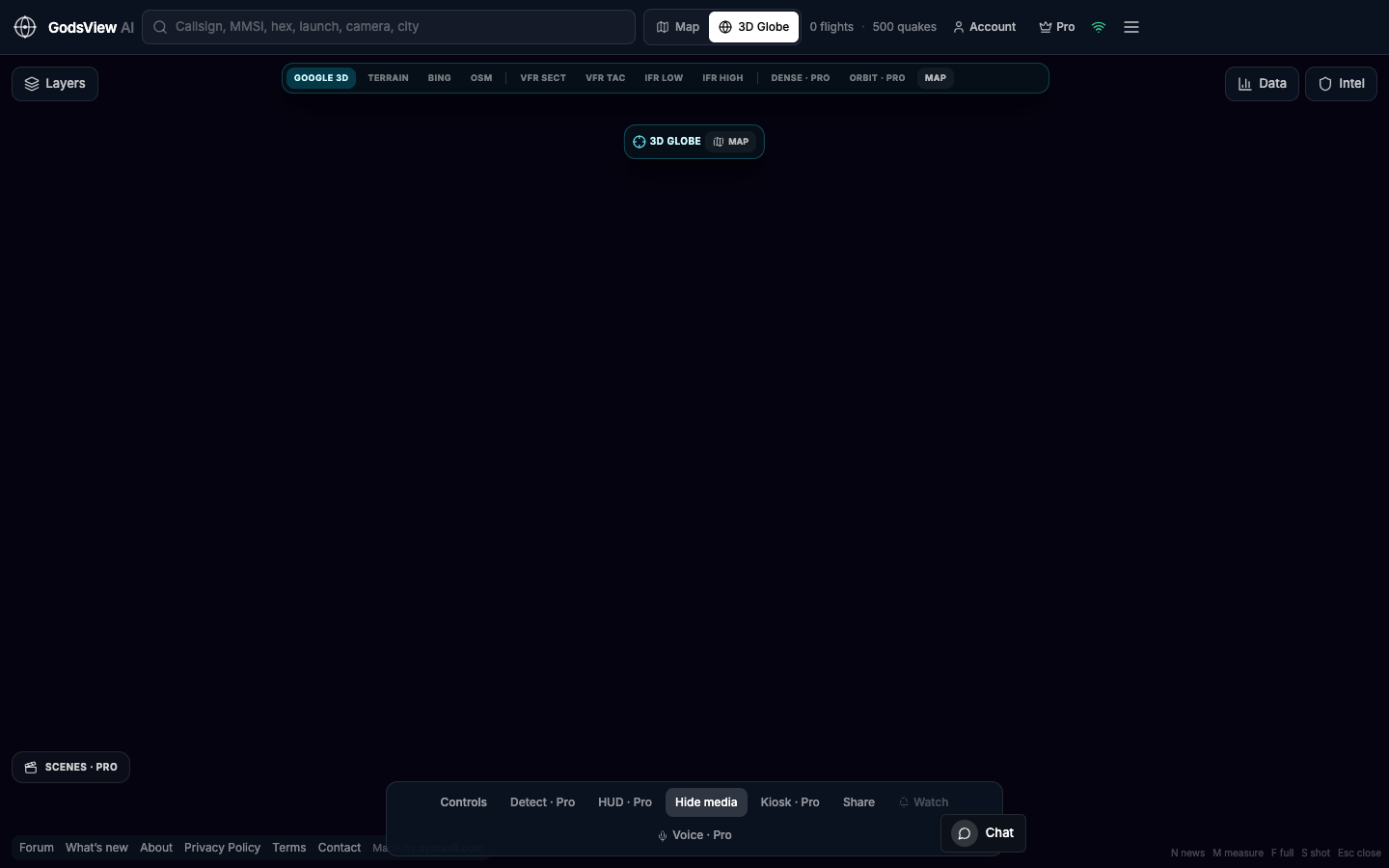
"Live global intelligence map" sounds abstract until you name the feeds. On GodsView AI it means public ADS-B aircraft, AIS vessels, USGS earthquakes, NASA FIRMS fires, plus optional weather, cameras, radio, and space layers on a 2D map and 3D globe in your browser.
Intelligence as fusion, not secrecy
It does not mean classified satellite imagery or invented tracks. The world already shares location through transponders, AIS, seismographs, and fire sensors. Software that combines those public signals into one view can support real work—as long as you cite the feed and the time.
The live stack
- Aviation: live flights and military-tagged ADS-B where aircraft broadcast
- Maritime: AIS with identity when the feed provides it
- Hazards: USGS, FIRMS, weather and natural events
- Space: orbits and launches, with denser tools on Premium
- Context: news, cameras, radio, outages when available
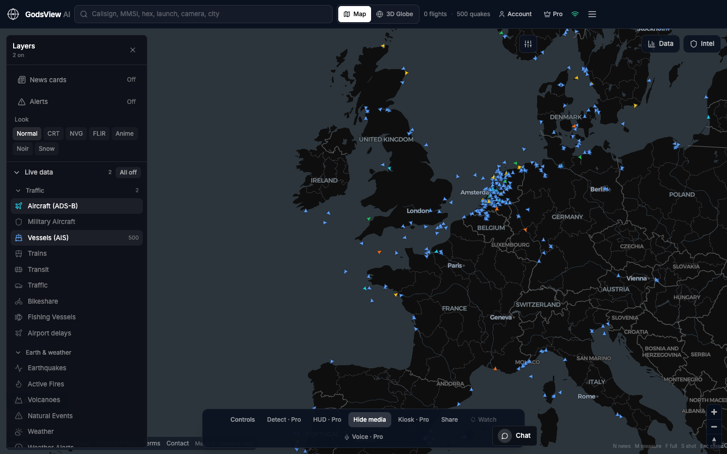
Open one layer at a time. The map answers a question; enabling everything at once usually obscures the answer.
Open the live intelligence map
Optional email list: subscribe from the page in a browser, or open an account.