Newsroom
How Journalists Use a Live Global Map for First Look Checks
The useful live map in a newsroom slows you down in a good way: geography before publication. GodsView AI is a hosted view of public ADS-B, AIS, USGS, FIRMS, and related feeds—not a CMS and not a substitute for agency reporting.
Start from the claim
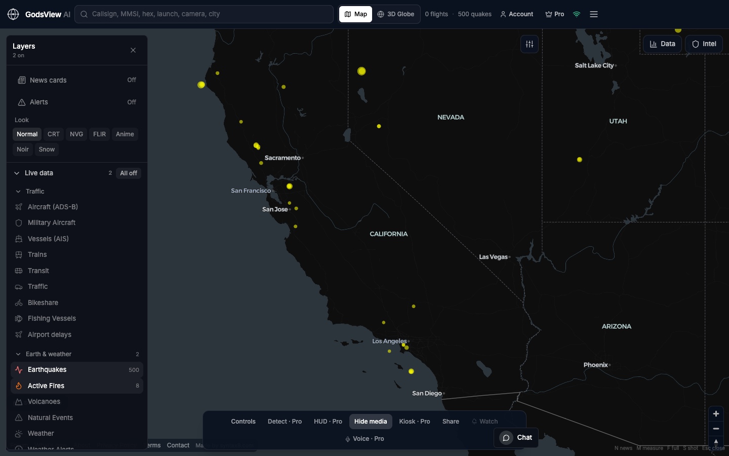
A seismic tip needs Earthquakes, not ships. A strait story needs Vessels, not every optional layer. Enable the matching feed and turn the rest off so screenshots stay interpretable. Search the place or callsign, wait for header counts, click the object, and record the time and feed name.
What a live map can support
- Regional seismic activity with magnitude, depth, and origin time from USGS
- Thermal detections from FIRMS—not proof of a named fire perimeter
- Aircraft still broadcasting over a corridor, or an empty public picture
- AIS density or gaps in a box you define
- Military-tagged ADS-B when aircraft broadcast—still ADS-B data
What it cannot prove
- Casualties, containment percentages, or evacuation orders
- Intent, spoofing, or why a transponder stopped
- Free global ADS-B history as a full archive
- Classified or paywalled intelligence you have not licensed
A steady workflow
- State the tip: place and alleged phenomenon in one sentence.
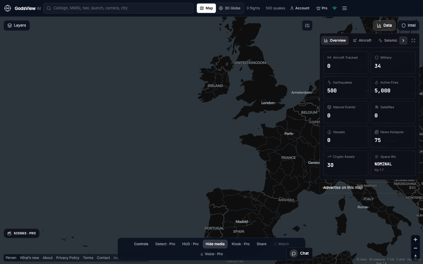
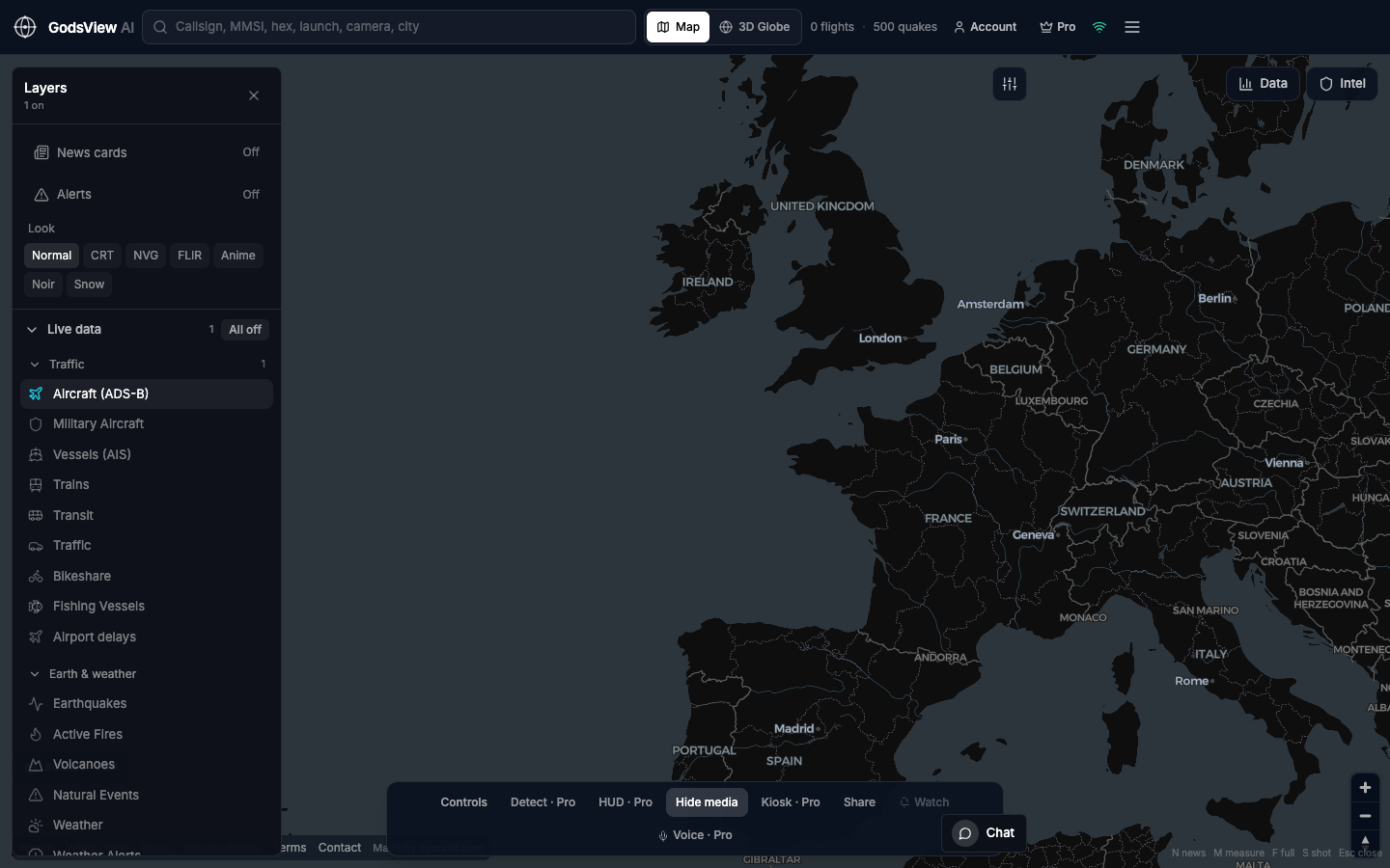
- Open GodsView AI. Disable every layer except the relevant one.
- Navigate to the location. Click. Note timestamp and identifier.
- Open the primary source: USGS, fire agency, NOTAM, port authority, airline.
- If you publish a grab, caption feed and time.
- Do not contact operators based solely on broadcast identity.
Why a bookmark beats a one-off laptop
News breaks when a side project is not running. A website in the bookmark bar stays available across shifts.
Specialist tools still win their niches. Use GodsView AI as the shared wall map and first geographic check—especially where fire, quake, air, and sea overlap.
Open the map the desk can bookmark
Optional email list: subscribe from the page in a browser, or open an account.