Business
CAT Desks and a Live Public Map: The First Look
Property, marine, and specialty lines invest in peril models and vendor alerts. At night, teams still benefit from a simple shared picture: is the M6 in the modeled box, is FIRMS showing a field or a single pixel, is AIS active at the port? GodsView AI is that picture—not RMS or a claims system.
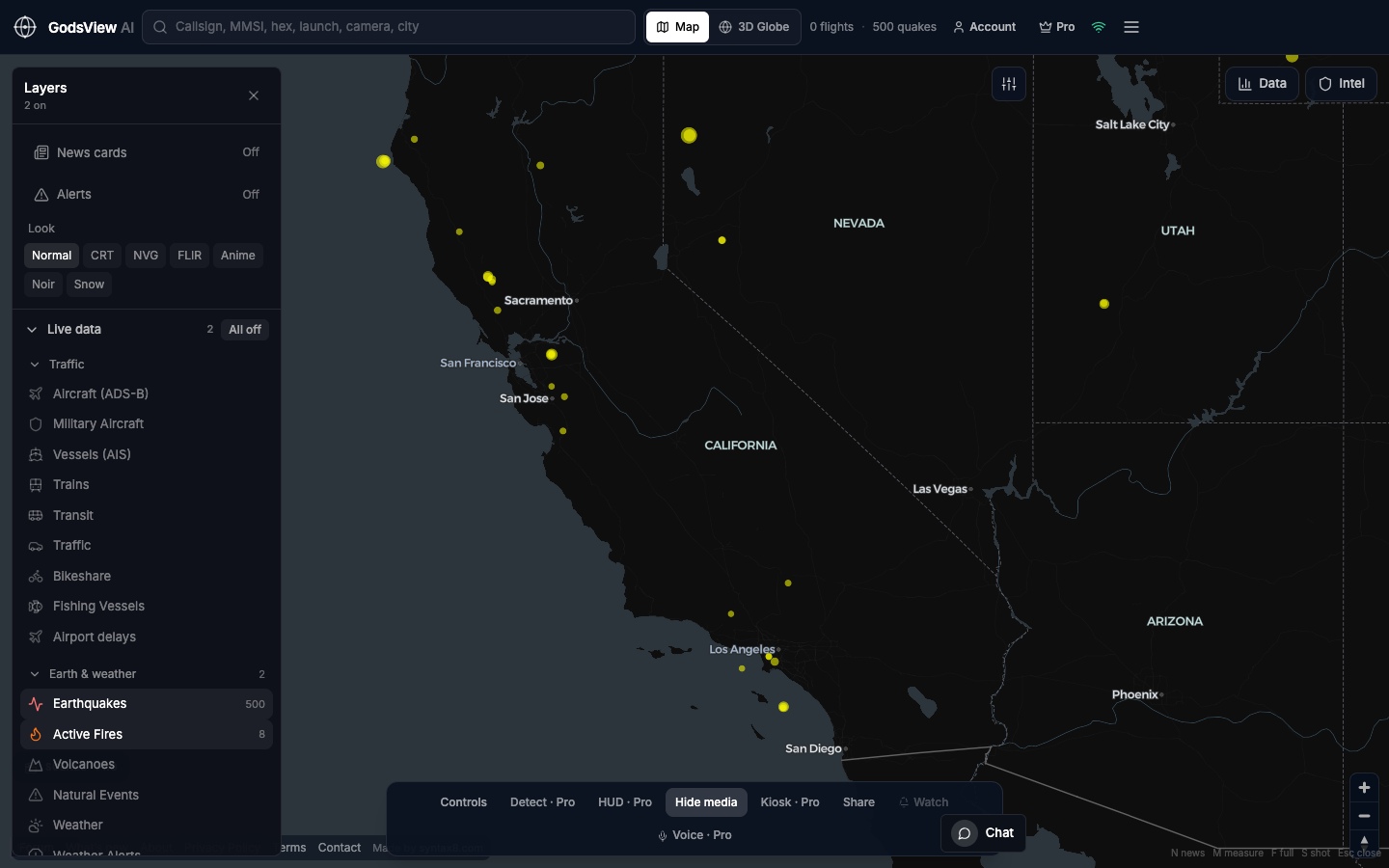
A careful junior workflow
- Name the peril: earthquake, fire, storm, port, or airport.
- Enable one or two layers. Hazards first.
- Screenshot with the clock. Label it as public feeds, not a loss estimate.
- Open USGS, incident pages, ports, or your specialist platform.
- Never describe FIRMS pixels as burned acres in client communication.
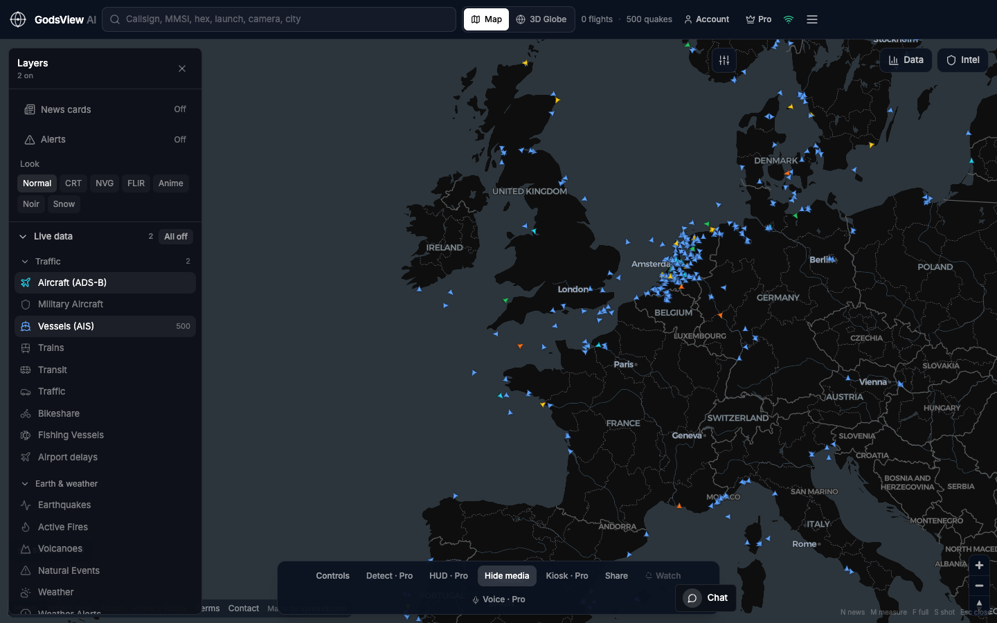
Marine overlap
For hull books, AIS density is a sniff test, not dark-ship analytics. See whether the water looks active, then move to tools built for underwriting and litigation.
Optional email list: subscribe from the page in a browser, or open an account.