Hazards
Live Earthquake Map and Wildfire Tracker, Without the Panic UI
Earthquake and wildfire data still originate with agencies such as USGS and NASA FIRMS. GodsView AI places those pulses on the same map as traffic because disasters occur near routes and ports—not on blank land. Start with hazards; add flights or ships when the story requires it.
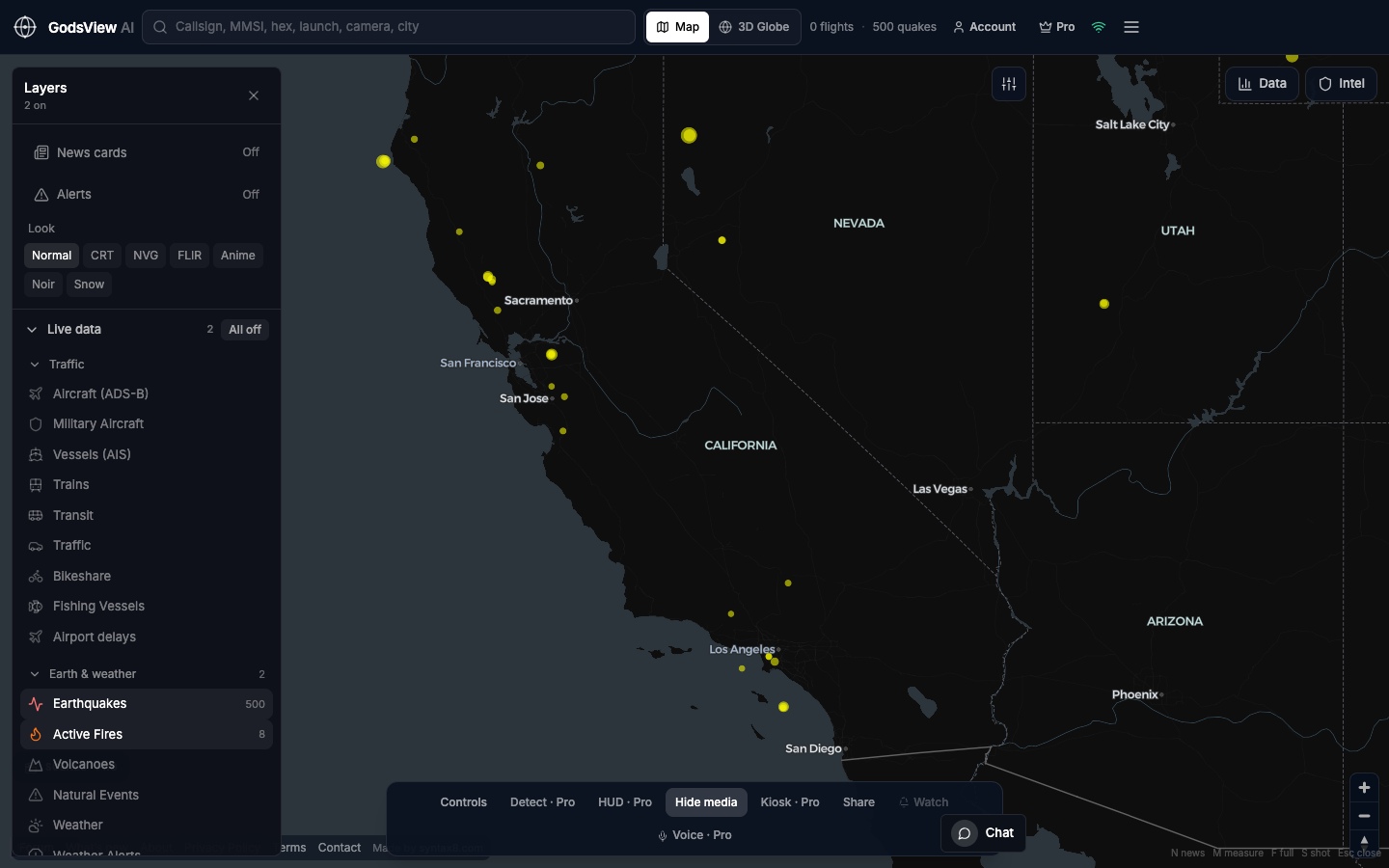
Hazard-only view
For this workflow: All off, then Earthquakes and Active Fires. You should see rings and heat without every aircraft icon. Mixed screenshots confuse readers about which feed supports a claim.
Earthquakes and time
USGS provides origin time, magnitude, depth, and place names. A live earthquake map without time is misleading. Compare event age and depth: shallow crustal events near cities differ from deep ocean events at similar magnitude.
GodsView AI pulls a multi-week catalog so the view is not limited to the last hour. Match USGS event ids when comparing with broadcast news.
Wildfires and FIRMS
FIRMS delivers thermal detections from VIIRS and related sensors. Points indicate heat when observed—not official perimeters or acreage. Confidence and fire radiative power help separate noise from flare-ups, including during agricultural burning seasons.
Zoom to California, the Mediterranean, Siberia, or other regions you follow. Click detections, then open local fire agencies for names, containment, and evacuations.
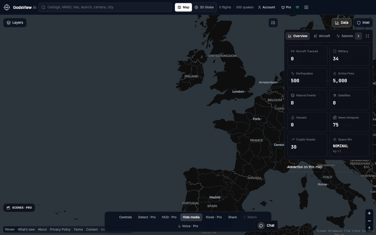
Add traffic deliberately
Fusion is the reason to leave single-agency pages temporarily: quake under a strait, fire upwind of an airport. Enable Aircraft or Vessels only after you understand the hazard layer. GodsView AI does not replace NWS or InciWeb.
Misuse to avoid
Do not issue safety warnings from hobby maps. Do not quote acreage from FIRMS pixels. Do not label crop-burning seasons as a single megafire without ground truth.
For button-by-button help, see our how-to guide. Open the map, enable seismic and fire layers, and allow a moment for data to load.
Optional email list: subscribe from the page in a browser, or open an account.