Aviation and maritime
Live Flight Tracker and AIS Ship Tracker on One Map
Many users already bookmark a flight tracker; fewer live in a ship tracker daily. When the question is what moves over the same ocean, two apps and two clocks get awkward. GodsView AI places ADS-B aircraft and AIS vessels on one map. Enable Aircraft, Vessels, or both—and leave other layers off until you need them.
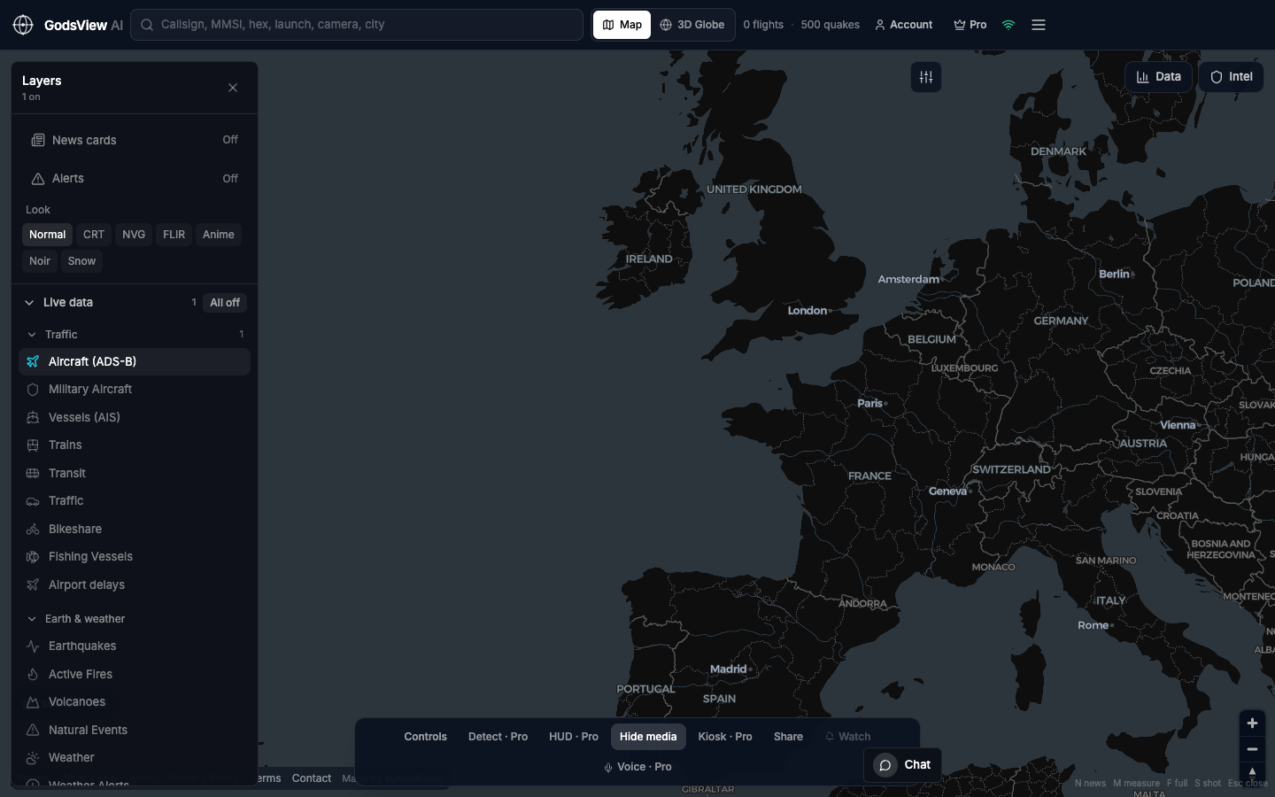
What flight tracking shows
Aircraft broadcast ADS-B: identity, position, altitude, and velocity. Ground receivers forward packets to aggregators. A live flight map reads that public copy with delay, gaps, and regional limits. It is not a direct link to the cockpit.
Networks disagree at the edges. Military traffic may appear, disappear, or be mislabeled. Oceans look sparse without receivers. Trust empty areas as coverage limits before inferring hidden activity.
Flights on GodsView AI
- Open the map and wait for the flight count.
- Layers: All off, then Aircraft.
- Use Map view until you have the object.
- Search callsign or hex, or zoom a known corridor.
- Click once and read the data panel.
What ship tracking shows
AIS is a VHF beacon with MMSI, position, course, and often name and type. Coastal and satellite receivers plot reports from vessels that transmit. Cargo, tankers, fishing vessels, and warships that broadcast all appear as points until you click them.
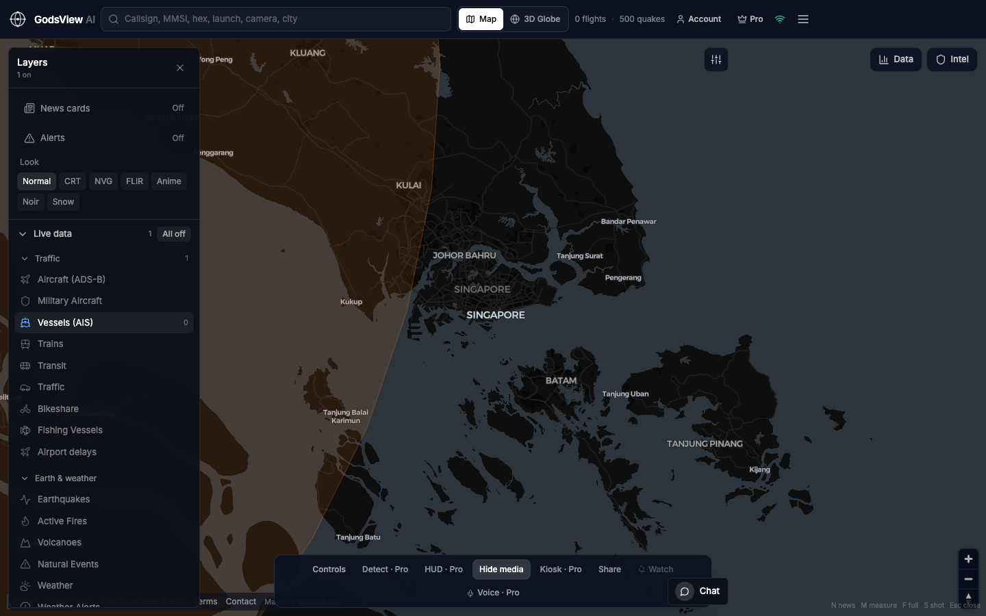
AIS can be off or spoofed. Busy straits look dense; quiet ocean may mean no listeners. Treat the layer as vessels that are reporting, not every hull on Earth.
Ships on GodsView AI
- All off, then Vessels.
- Zoom a strait or port until tracks separate.
- Search MMSI when you have one.
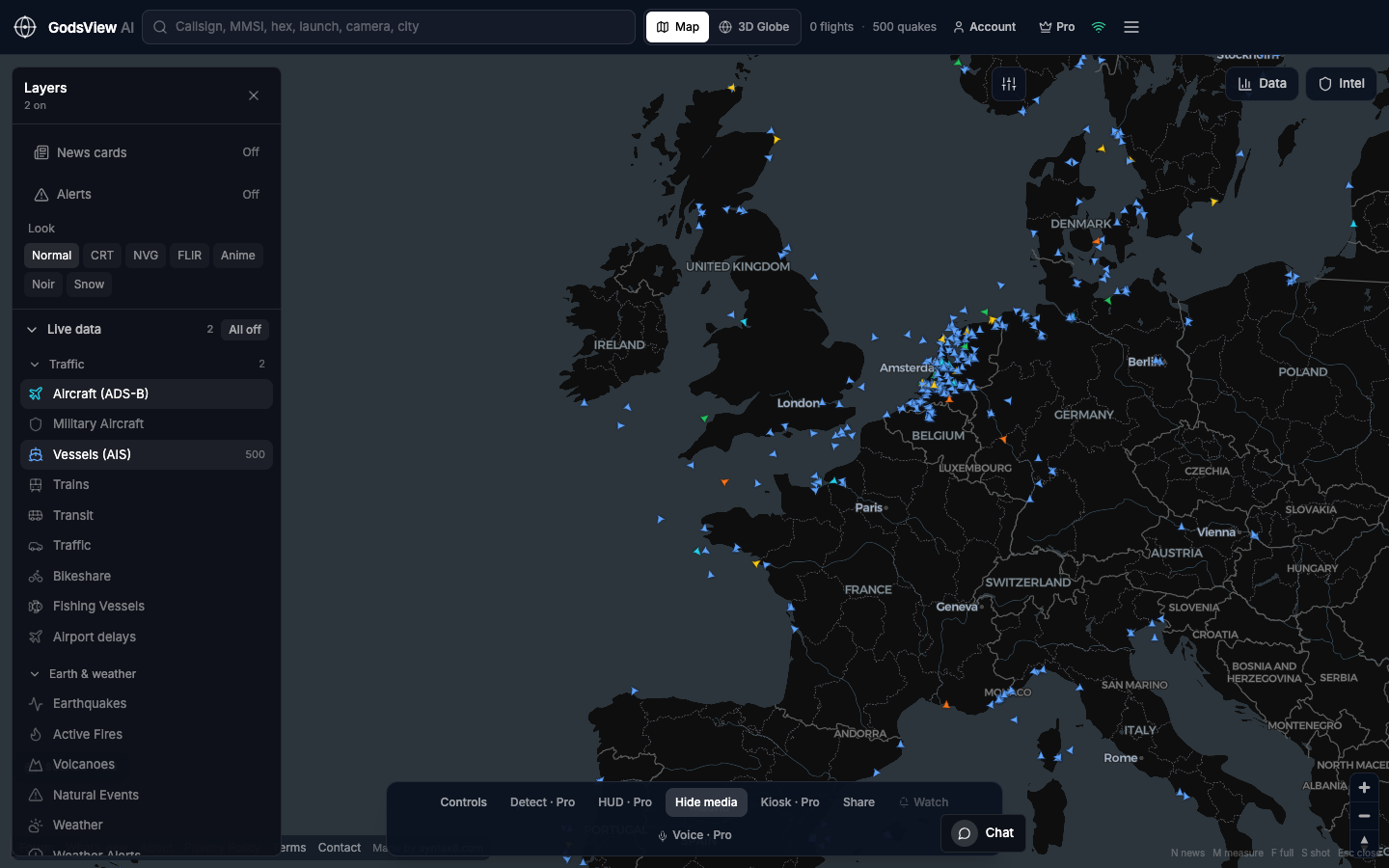
- Add Aircraft when airspace above the water matters.
One map for overlapping stories
A strait has ships, air routes above it, and sometimes seismic or fire context on shore. Separate apps force you to merge mentally. One map lets you add layers after the first picture makes sense.
State the limits
Refresh is seconds to a minute, not real-time radar. Positions may interpolate between updates. Global historical ADS-B is not part of the free public stack. GodsView AI focuses on live now with honest timestamps on hazards.
ADS-B and AIS support ground-based awareness, not navigation at sea or in the air. Cite feed and time when you write; enjoy the traffic when you watch.
Open the live flight and ship map
Optional email list: subscribe from the page in a browser, or open an account.