Explainer
Live Satellite Map vs Live Data Map: What You Are Actually Seeing
Search results for "live satellite map" often show Earth imagery that may be days or weeks old, with moving dots for planes or ships. The photograph is usually not live; the overlays are. GodsView AI separates those roles: the basemap is cartography; the value is ADS-B, AIS, earthquakes, and fires.
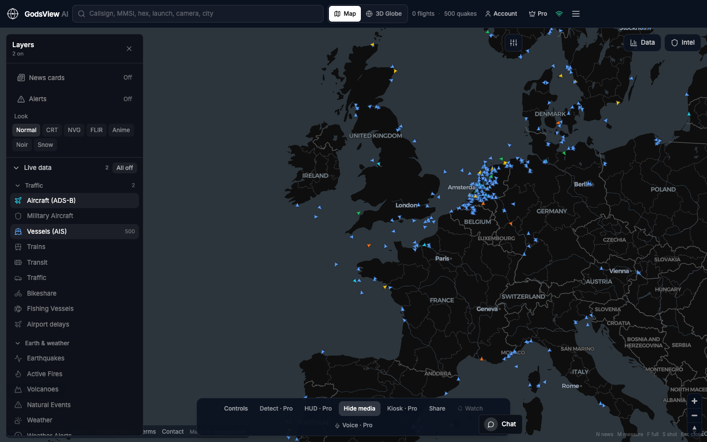
True live imagery belongs to a different industry with contracts and tasking. If you need to know whether flights still cross a region, ADS-B answers that—not a pretty tile.
Optional email list: subscribe from the page in a browser, or open an account.