Business
Watch Ports and Chokepoints on One Live Map
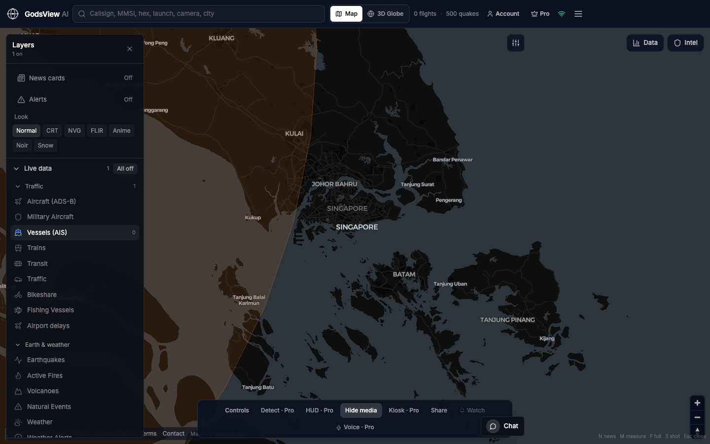
Supply-chain software records transactions; a live map shows whether the physical corridor still looks active. GodsView AI adds that picture: vessels on a strait, flights over a hub, or hazards when disruption is environmental. Enable one layer, zoom, note the time, then return to your operational systems.
A ten-minute check
- Name the node: port, strait, airport, or city.
- Open GodsView AI and turn other layers off.
- Use Vessels for water, Aircraft for air, Earthquakes and Active Fires for disaster news.
- Search MMSI or callsign if you have one; otherwise read traffic density.
- Record the time. Quiet areas may reflect coverage, not a closure.
You will not get container-level ETAs here. You will get a geographic pulse you can share as a link.
Optional email list: subscribe from the page in a browser, or open an account.