Aviation
Military Aircraft Tracker: What ADS-B Will and Will Not Show You
A public military aircraft view is not AWACS radar. It is ADS-B and database tagging. Some airframes broadcast; others never appear; labels can be stale. Use the map for patterns, not for operational conclusions.
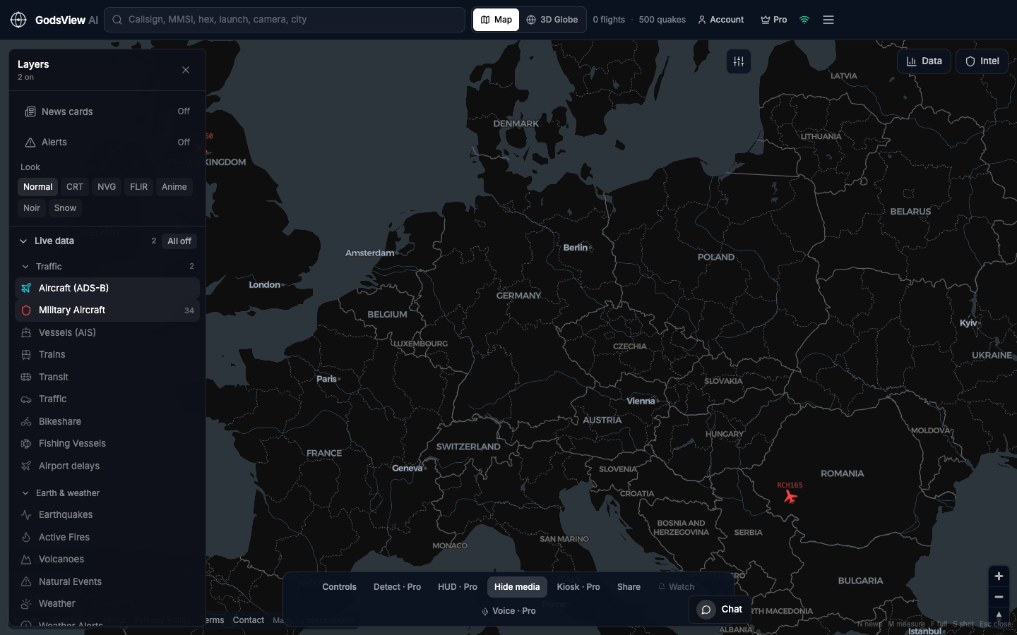
Recommended layer pair
All off, then Aircraft and Military Aircraft. Civil traffic provides context; the military filter highlights a subset. Map view helps until you identify the track you need.
Why military tracks sometimes appear
Transponders support collision avoidance and traffic management. In many regions transport, tankers, and some fighters broadcast ADS-B in civil airspace. Aggregators flag certain hex codes as military. GodsView AI colors that subset so you can see traffic shape—not classified missions.
Why tracks disappear
Transponders can be disabled. Aircraft leave receiver coverage. Feeds drop hexes. Many missions never broadcast to public aggregators. A gap is common; it is not automatic evidence of secret activity.
Coasting—the last point held between updates—is interpolation, not a new sensor. Read it as last seen, not necessarily current position.
Responsible use
- Look for patterns such as tanker orbits, not targeting narratives.
- Cross-check callsigns and types; databases update slowly.
- Keep civil traffic visible when assessing surges.
- Do not harass crews or publish personal data from broadcasts.
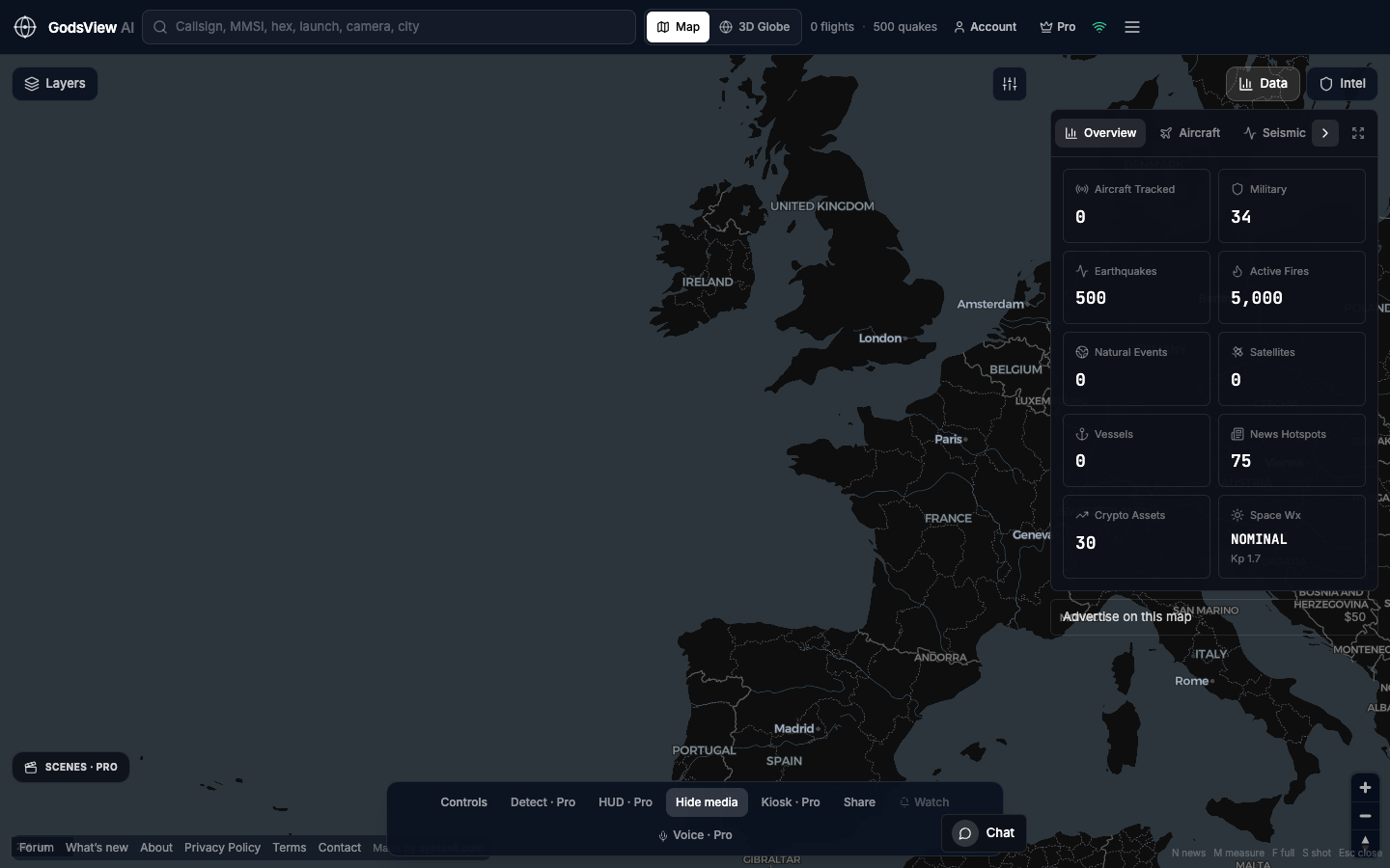
GodsView AI may highlight military counts in the data panel. That is a prompt to look, not a verdict. For more than public ADS-B, you need purpose-built systems—not a consumer map.
Optional email list: subscribe from the page in a browser, or open an account.