Use cases
Humanitarian and NGO Use of a Live Public Map
Humanitarian teams already use GDACS, ReliefWeb, and local partners. A live public map adds context: earthquake catalogs, thermal detections, whether flights still cross a region, whether AIS is active near a port. GodsView AI provides that layer in a browser; it does not replace formal coordination.
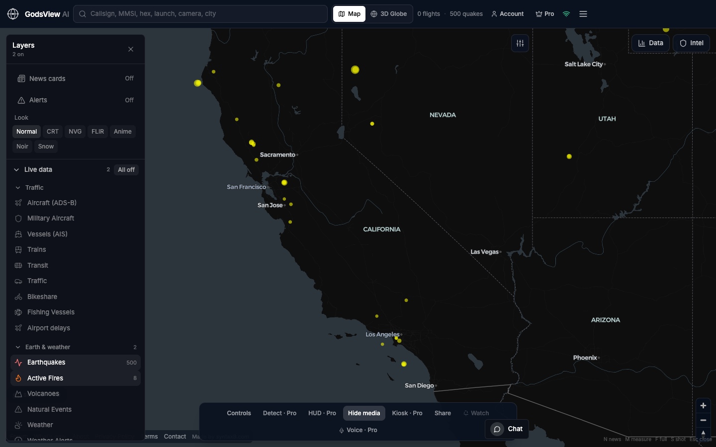
Start with hazards. Add traffic only when the question requires it. Always confirm with primary sources. Note the time on screenshots. During agricultural burning season, FIRMS can light up widely—say so in your notes. Empty ADS-B over water often means coverage limits.
Optional email list: subscribe from the page in a browser, or open an account.