OSINT
Open Source Intelligence Maps: Public Feeds, One Globe, No Clearance
Open source intelligence works best when provenance stays on the object: public feeds, timestamps, and modest claims. GodsView AI is a hosted map that tries to keep that discipline while still feeling like a operations desk—not a rumor engine.
What belongs on the globe
Broadcasts and open catalogs: ADS-B, AIS, seismic origins, thermal detections, orbital elements, weather alerts, and similar sources. What does not belong: personal data harvested without authority, leaked dumps presented as maps, or guilt inferred from a hex code alone.
Fusion over single feeds
Vertical apps often win on depth—aviation history, marine compliance, seismology tools. OSINT value appears at intersections: fire under a flight corridor, quake near a port, launch timing next to public NOTAMs. Enable two layers that can speak to each other, not every optional feed.
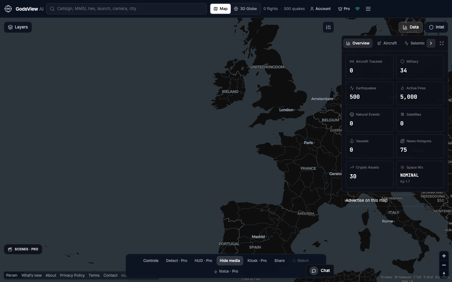
Hosted access
GodsView AI is for users who want the picture at night without maintaining keys on a laptop. Caching public GeoJSON is not less open if event ids and times remain visible.
For interface basics, see our how-to guide on the site.
Working practice
- Name the feed on every claim.
- Keep a second source when stakes are high.
- Record when you looked; screenshots age quickly.
- Do not harass people based on broadcast identity.
- When feeds are empty, say so—absence can be informative.
GodsView AI may look like a command center. The goal is citation-grade behavior: feed, time, modest language.
Optional email list: subscribe from the page in a browser, or open an account.