Business
What Platforms Like This Are For: The Market Around Live Globes
Live location on public Earth is already a crowded market split by vertical. GodsView AI is a hosted fusion desk at the accessible end. Naming adjacent products helps you choose the right tool for each task.
Aviation trackers
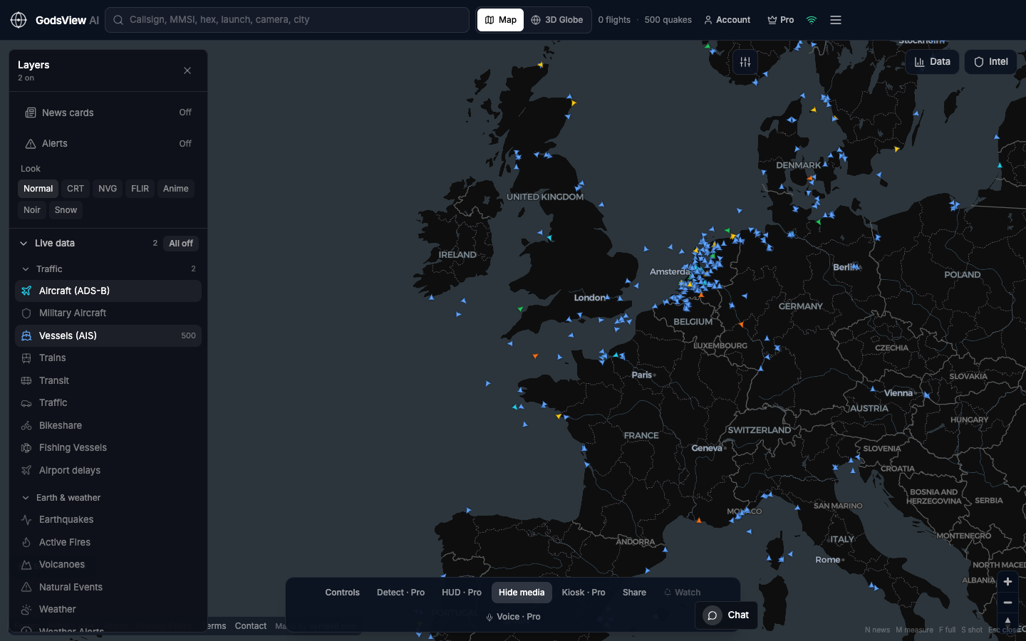
Flightradar24, FlightAware, and ADS-B Exchange excel at aircraft, history, and alerts. Use them when the airplane is the entire job. Use a fusion map when you also need hazards or ships in the same view.
Maritime intelligence
MarineTraffic and VesselFinder serve hobby and light commercial AIS. Kpler, Vortexa, Windward, and national feeds support cargo, compliance, and analytics. GodsView AI offers live density and MMSI lookup in a browser.
Hazards and humanitarian
USGS, GDACS, ReliefWeb, NIFC, FIRMS, and Windy remain authoritative for their domains. A fusion map helps when you need two feeds beside traffic. Incident command stays on agency sites.
Commercial GEOINT
Imagery and analytics vendors serve contracts and models at another price point. GodsView AI does not replace those platforms.
Where GodsView AI fits
- Hosted picture of public ADS-B, AIS, USGS, and FIRMS
- 2D desk, 3D globe, search, data panel, optional Premium
- Newsrooms, logistics checks, training, SMB awareness, after-hours risk
- Not navigation, targeting, or sanctions compliance as a control
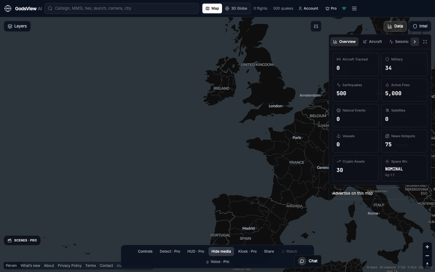
Buy the vertical when archives or hull identity drive the decision. Open godsviewai.com when you want one live Earth without juggling multiple subscriptions.
Optional email list: subscribe from the page in a browser, or open an account.