Space
How to Track the ISS, Starlink, and Live Satellites on a Globe
Phone widgets solve basic ISS passes. Plotting the station, Starlink shells, and broader catalogs on the same globe as aviation data is a different workflow. It still relies on public orbital elements, not live radar. CelesTrak-style TLEs feed propagators; dots move on a schedule that drifts if catalogs age.
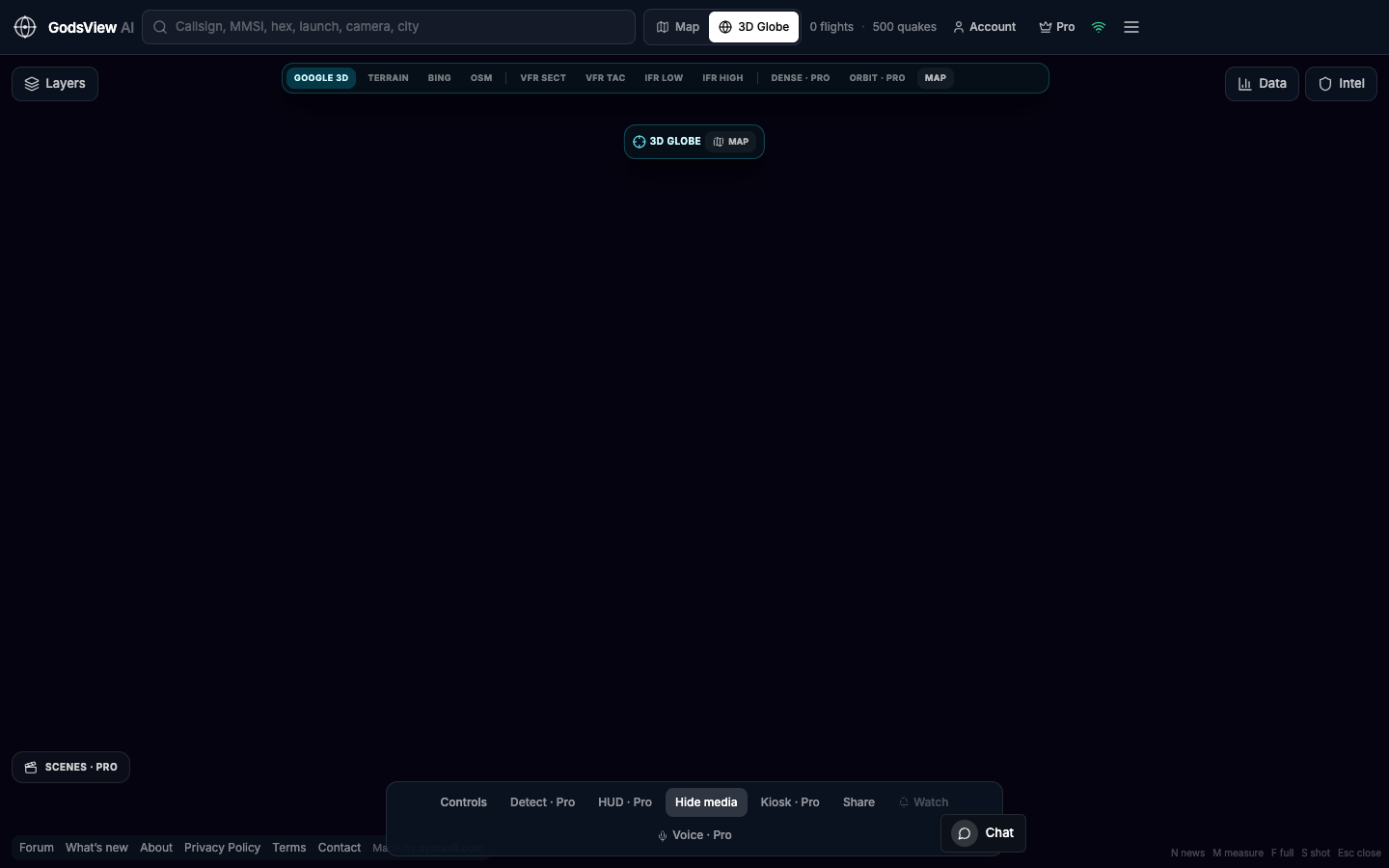
Layers for orbital views
Use Globe view with satellite-related layers on. Turn off unrelated Earth feeds unless you deliberately compare atmosphere traffic with orbit paths. For ISS, follow the station object. For Starlink, dense modes show a shell—expect many points, not individual mission narratives.
TLE propagation limits
Two-line elements are snapshots. SGP4 predicts position at time T. Stale TLEs drift, especially for maneuvering constellations. Note catalog age when precision matters.
ISS, Starlink, and full catalogs
The ISS is a single bright target with published passes. Starlink is a large mesh—dense display modes are intentional. Premium tools add pass planning and heavier rendering because those views are costly to draw at scale.
Launch trajectories on consumer maps are often reconstructed estimates, not range telemetry. Treat labels accordingly.
Watch a pass
- Search your city so the globe is oriented usefully.
- Use ISS pass tools on Premium or follow the ISS on the globe.
- Note maximum elevation—low passes are harder to see.
- Go outside for high-elevation passes; the map points, it does not replace the sky.
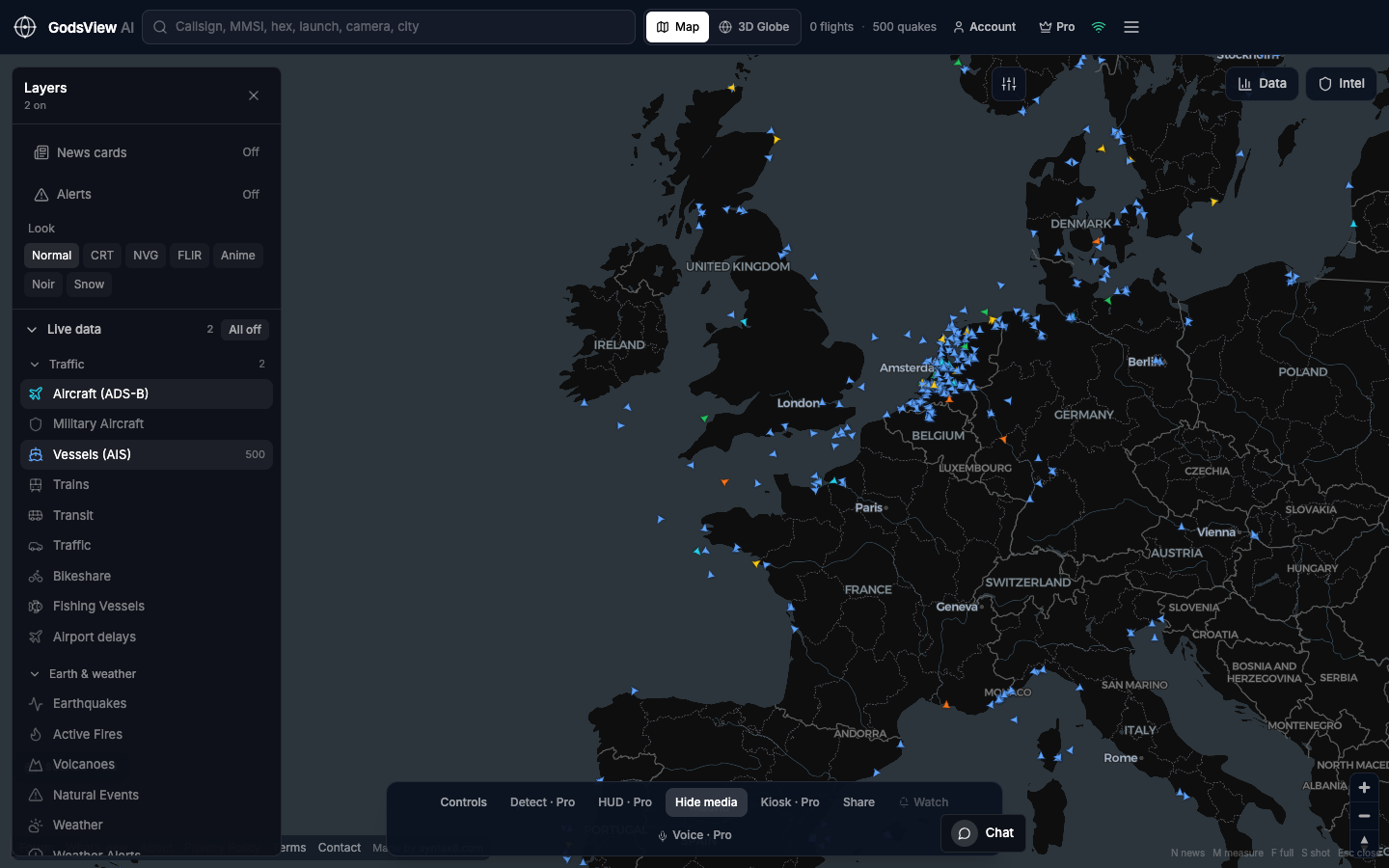
Start on the 3D globe with Earth clutter off. Add flights only if you want atmospheric context. Distinguish TLE plots from tracking radar before you share screenshots.
Optional email list: subscribe from the page in a browser, or open an account.