Education
Teaching ADS-B, AIS, and Hazards on a Live Map
A live Earth map teaches better than a static atlas when you keep layers honest. Students see ADS-B gaps over oceans, AIS as broadcast traffic rather than a full census, and FIRMS as heat detections—not official perimeters. GodsView AI runs in the browser students already use.
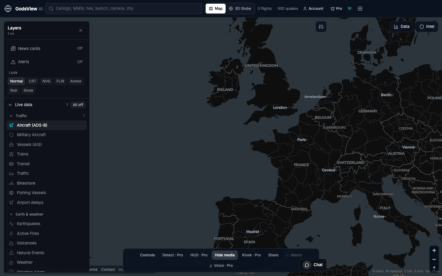
One topic per session
- Session one: Aircraft only. Find a callsign and read altitude.
- Session two: Vessels only. Zoom a familiar port.
- Session three: Earthquakes and fires. Compare time and depth to news headlines.
- Session four: Why coverage holes are normal, not conspiracies.
Optional email list: subscribe from the page in a browser, or open an account.