Aviation
What ADS-B Is (and Is Not) on a Live Flight Map
ADS-B helps aircraft see each other and helps air traffic control without primary radar everywhere. Ground receivers pick up those broadcasts and aggregators redistribute them. GodsView AI is one such client. It is not military radar or a full historical archive—it is a hosted live layer you can enable by itself.
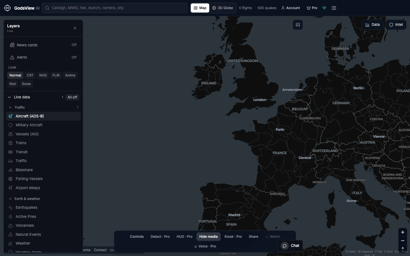
How to read the flight layer
Open Layers, choose All off, then Aircraft (ADS-B). The row should highlight. Search a callsign, read the data panel, and note the time if you share a screenshot. That image documents a broadcast at a moment, not a complete operational picture.
Coverage gaps and quiet skies
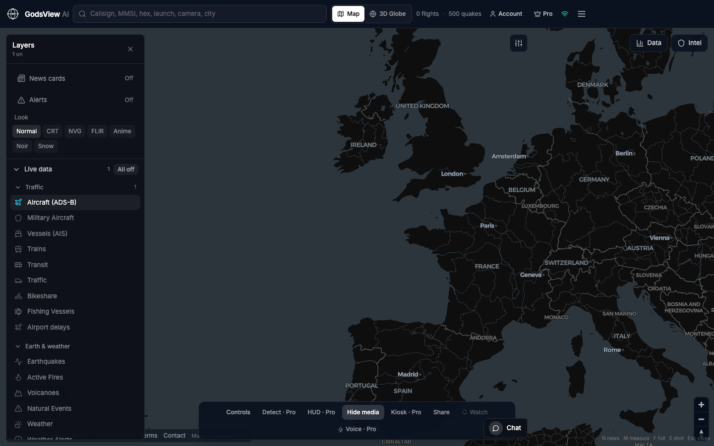
Receivers sit on land, so oceans and remote areas look sparse. Mountains block signals. Aggregators drop packets. Many military aircraft do not broadcast publicly. A quiet map often reflects network limits, not hidden activity.
If you enable Military Aircraft, keep civil Aircraft on for context. Otherwise a low military count can mislead. Use the 2D map until you have identified the track you need.
Optional email list: subscribe from the page in a browser, or open an account.