Use cases
What People Actually Use GodsView AI For
A live global map becomes useful when you attach it to a question. GodsView AI is not every dataset at once—it is a hosted view of public Earth at godsviewai.com. These are common jobs people bring to the map, usually with one or two layers enabled.
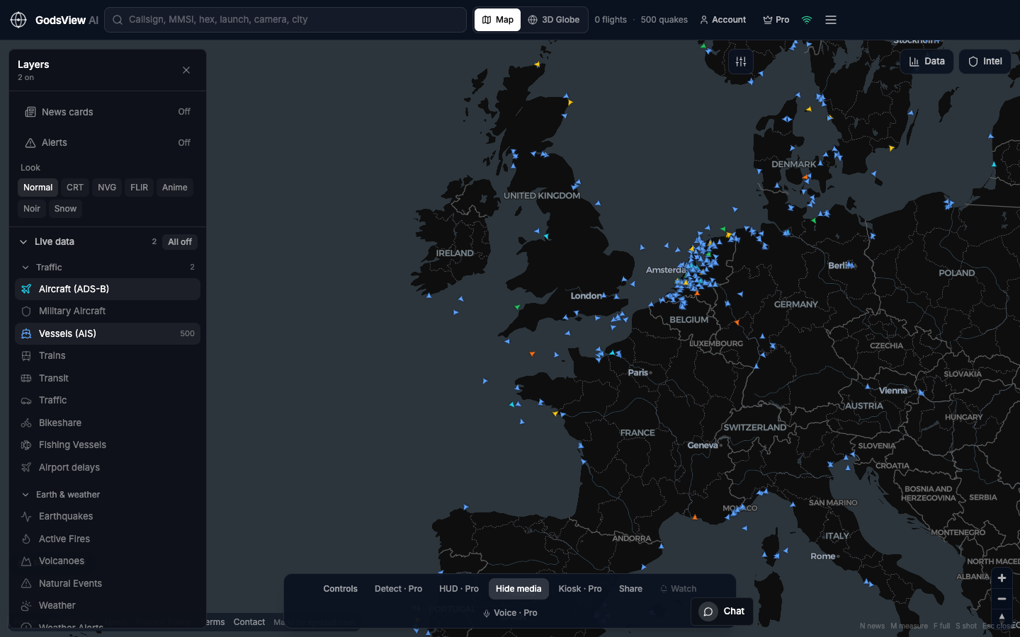
Verify a story against geography
Social posts claim airport closures, port congestion, fires, or aircraft behavior. Before amplifying, check whether public feeds support the location. Enable the layer that must be true: Aircraft over the airport, Vessels near the port, FIRMS on the ridge, Earthquakes for seismic news. Zoom, read timestamps, then follow the agency source.
The map will not name an incident commander. It will tell you whether activity in that box looks quiet or active—both are useful signals.
Follow air traffic
Enable Aircraft only. Search a callsign. Watch oceanic tracks or busy hubs. If you use Military Aircraft, keep civil Aircraft on for context. Hobbyists often already use aviation apps; they come here when fires, ships, or quakes belong in the same session.
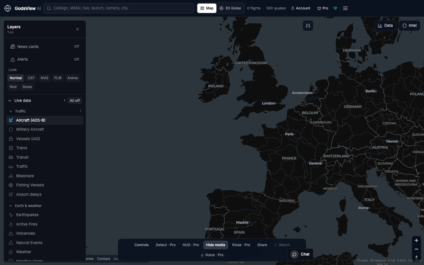
Monitor straits, gulfs, and ports
Enable Vessels and zoom until individual AIS tracks matter. Singapore, the English Channel, Hormuz, and familiar harbors are frequent views. AIS is broadcast traffic, not a complete hull census. Add Aircraft when the question includes the airspace above the water.
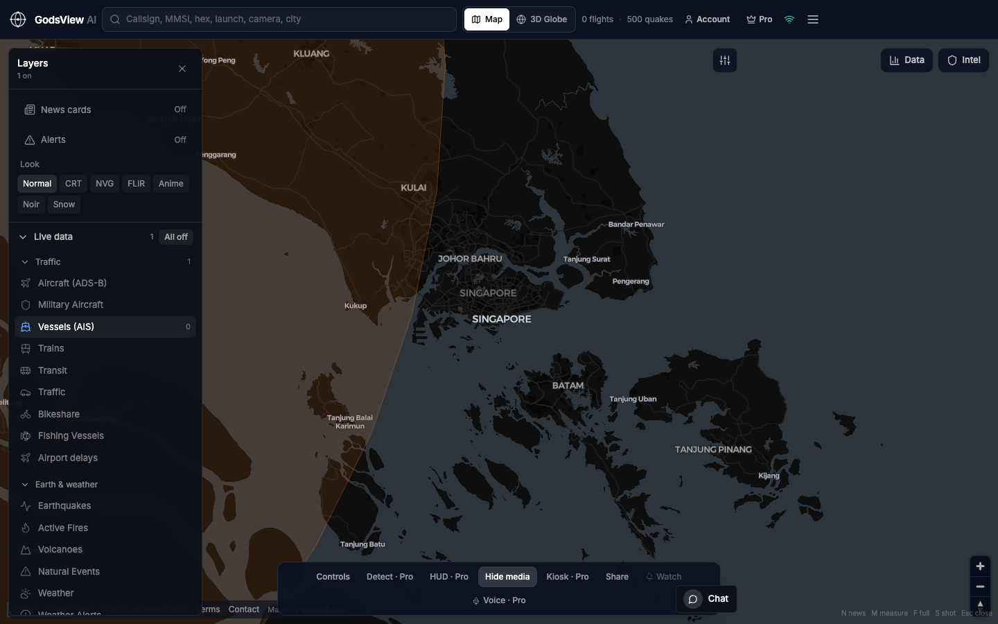
Watch hazard feeds
Earthquakes and Active Fires alone show the pulse of seismic and thermal data. Zoom to the region that matters. FIRMS reports heat detections; USGS reports origin time, magnitude, and depth. Neither replaces evacuation orders or official perimeters.
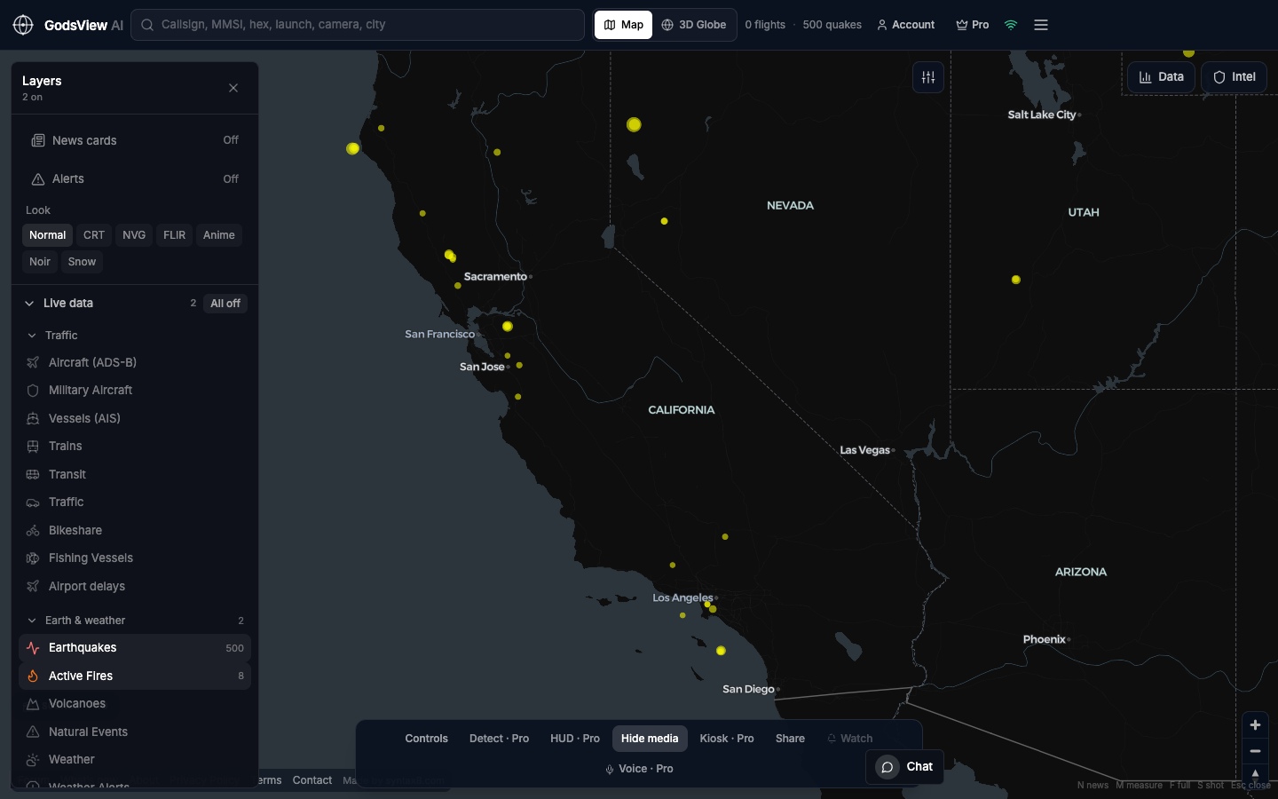
Teach with live data
Classrooms benefit from one honest layer and clear limits. ADS-B coverage holes teach geography. FIRMS pixels teach the difference between satellite heat and named fires. Students learn to ask what a dot actually represents.
Keep a display running
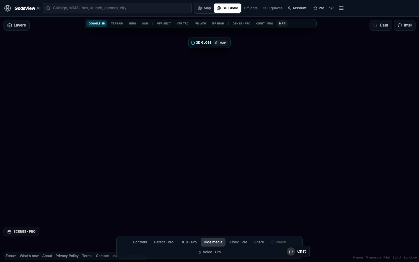
Offices, labs, newsrooms, and homes sometimes want the planet as ambient context. A hosted URL plus kiosk mode supports wall displays without maintaining a local server.
Return to objects you care about
Watchlists and alerts help when you track a specific flight, vessel, or cluster. Premium supports that workflow. Email on first visit is optional product news—not emergency paging.
Appropriate limits
Do not use GodsView AI for navigation, targeting, legal proof, or safety-critical decisions. Do not harass crews based on broadcasts. Treat public feeds as scouts; cite source and time when you publish.
For layer basics, see our how-to guide on the site. Open the map with fewer layers than instinct suggests—you will see more.
Optional email list: subscribe from the page in a browser, or open an account.