One shared map
A common operating picture from public data
For many teams, a common operating picture simply means that everyone can see the same live map without forwarding screenshots. GodsView AI provides that from public data: one link that opens the same view for every colleague, and kiosk mode (Pro) for a screen on the wall.
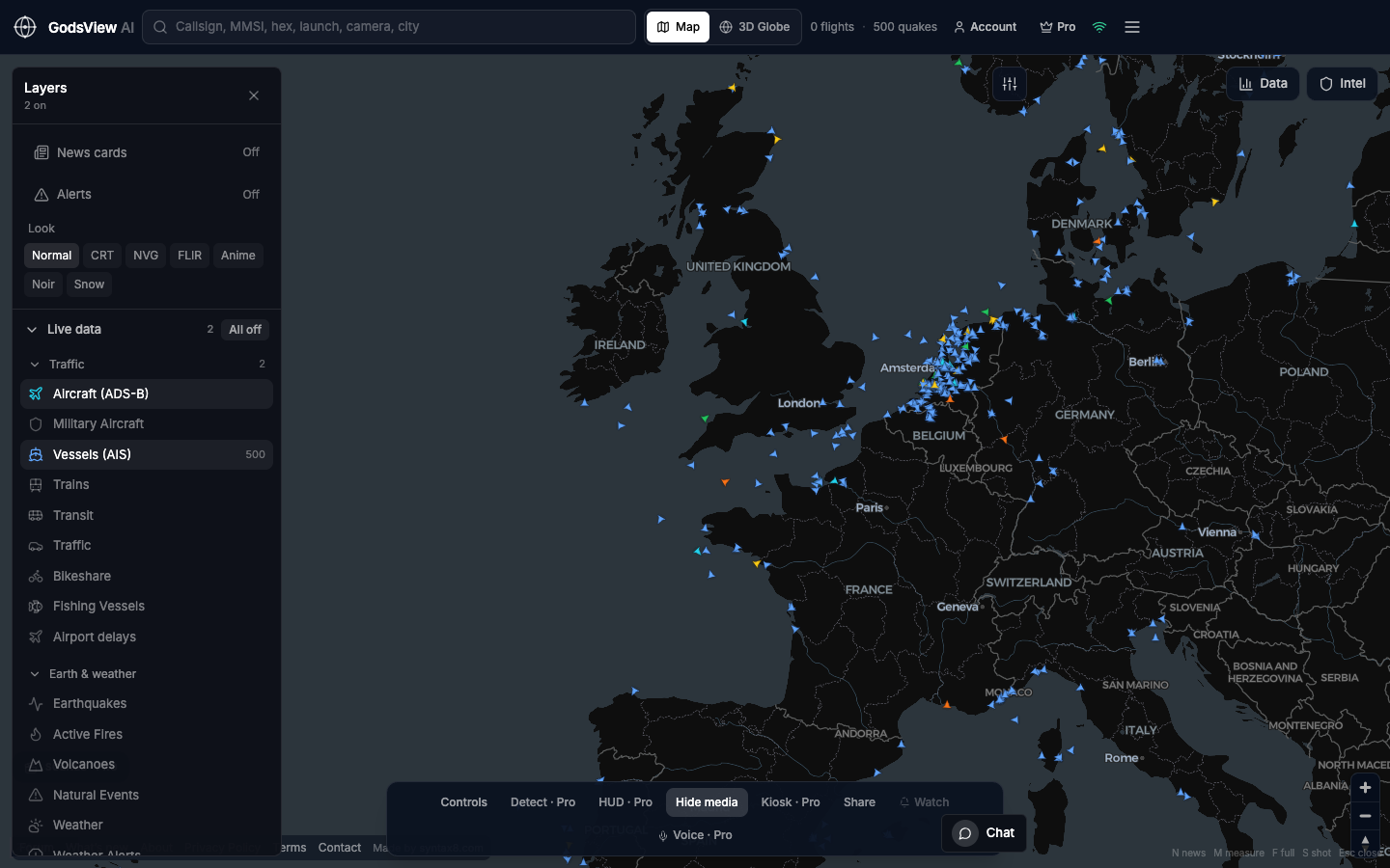
- Facilities and operations teams: hazards next to your sites
- NGO desks: USGS, GDACS and FIRMS context alongside ReliefWeb updates
- Corporate security: flights, weather and news around a campus
- Training: one URL that works on every laptop
- After hours: a hosted view that keeps updating when individual PCs are off
Ops Center
The Ops Center at /ops adds an incident register on top of the map. It merges reports of the same event from many sources, scores each one from 0 to 100, shows country risk with travel-advisory levels, and exports CSV or JSON or a copied situation report.
Know its limits
This picture is built only from public broadcasts and open feeds. It does not include classified sources, and it is not a system of record. Label it as a public-data view internally so nobody treats it as more than that.
Related trackers
Optional email list: subscribe from the page in a browser, or open an account.