Education
A live Earth map for classrooms
A live Earth map turns abstract systems into something students can see. With GodsView AI, they watch ADS-B coverage thin out over the oceans, see AIS as ships reporting their own positions, and learn that FIRMS points mark heat rather than burned area. Questioning where the data comes from is part of the lesson, and the map runs in the browser students already have.
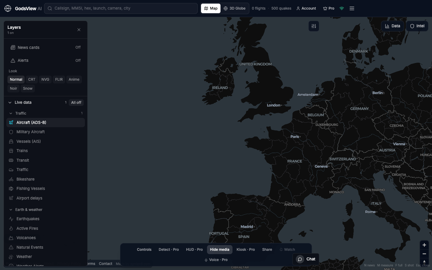
- Lesson one: Aircraft only. Find a callsign and read its altitude and speed.
- Lesson two: Vessels only. Zoom to a port the class knows.
- Lesson three: Earthquakes and fires. Compare origin time and depth with a news report.
- Lesson four: Coverage gaps. Discuss why receivers, not the planet, set the limits of the map.
There is nothing to install on lab computers; each viewer signs in with a free account, and no payment is required. The free tier pauses live viewing after 30 minutes; reload the page to continue.
Related trackers
Optional email list: subscribe from the page in a browser, or open an account.