Maritime
What AIS Ship Tracking Actually Shows
AIS is a VHF system for collision avoidance and traffic services. If a ship transmits, receivers can plot it. If transponders are off or out of range, the map stays quiet. Spoofing exists. Coastal coverage is stronger than open ocean. A live AIS map is useful maritime awareness—it is not a naval operations plot.
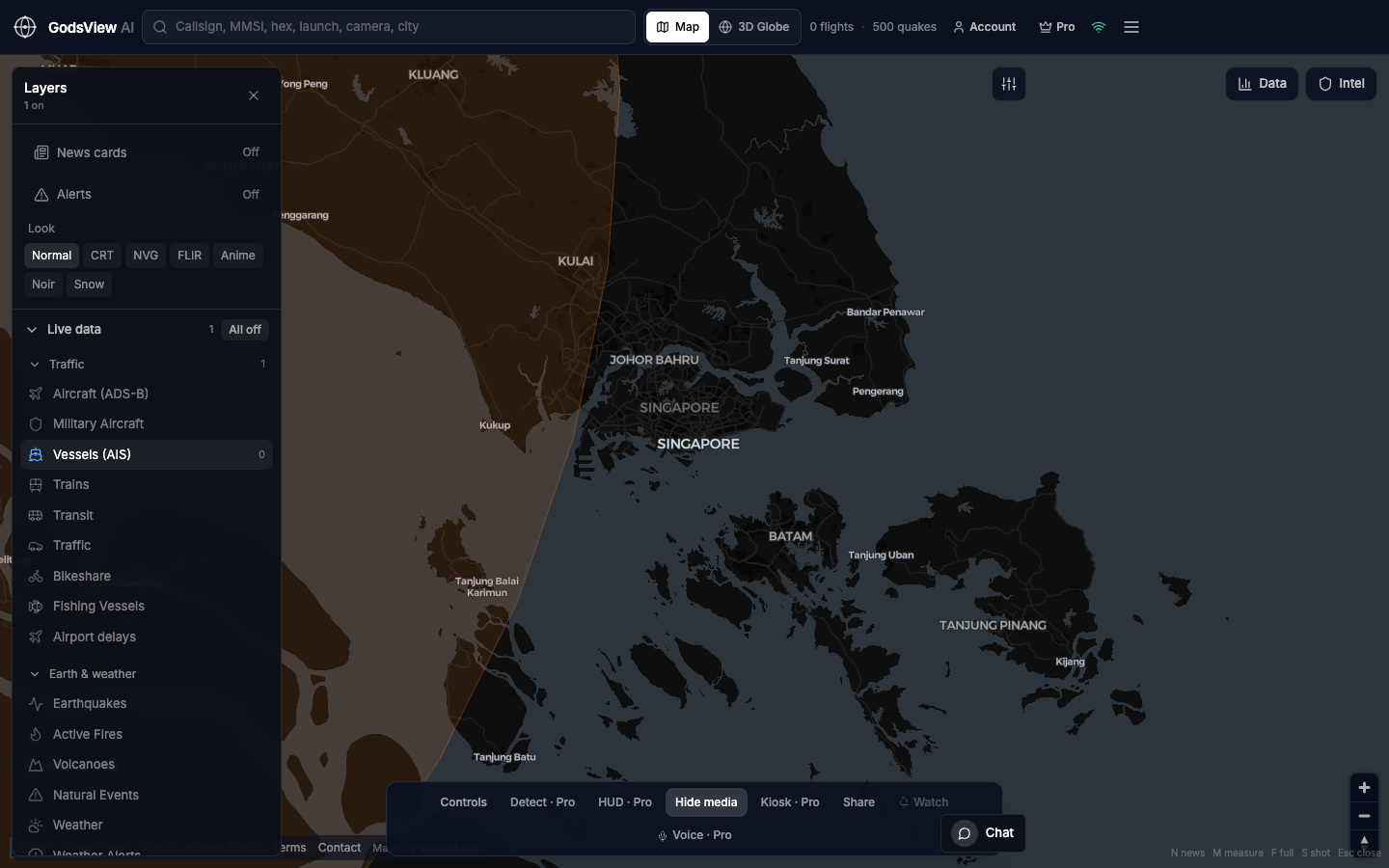
Using Vessels on GodsView AI
Layers → All off → Vessels (AIS). Zoom a strait or port you can name. Search MMSI if you have one. That workflow gives a geographic pulse in seconds.
When to use specialist tools
Long voyage history, sanction screening, and SAR correlation belong in dedicated vendors. Stay on GodsView AI for live density, a known MMSI, and optional fusion with flights or hazards on the same map.
Optional email list: subscribe from the page in a browser, or open an account.