Hazards next to exposure
A first look for insurance and risk teams
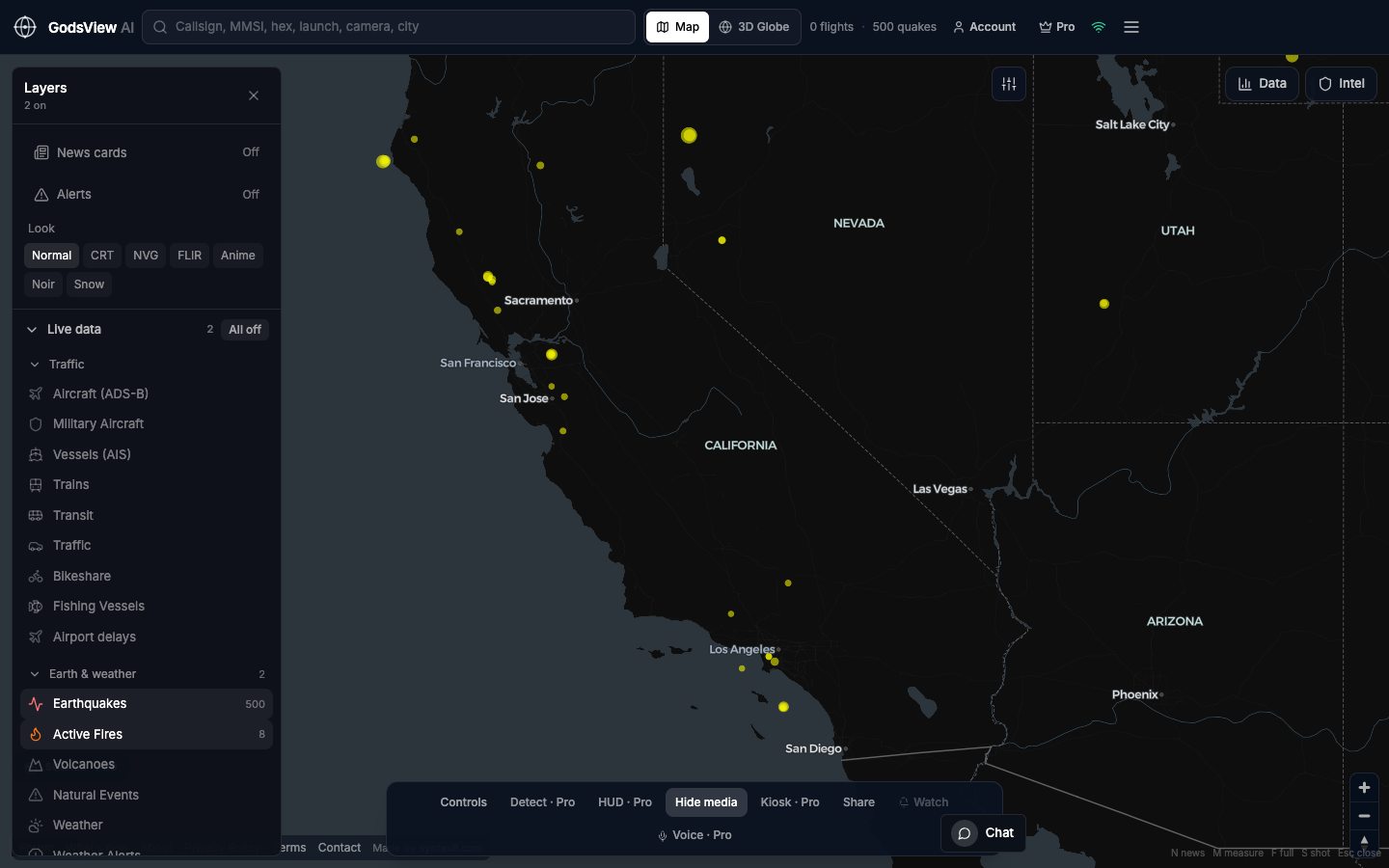
Catastrophe and marine underwriting teams already use specialist platforms to model perils and reconstruct voyages. GodsView AI fits earlier in the process: when someone asks whether an event is anywhere near your exposure, you can check USGS for a quake, NASA FIRMS for heat, NOAA and NHC for storms, AIS for a port and ADS-B for an airport, note the time, and then move to the authoritative source.
Using it well
Treat the map as context, not as evidence for pricing or claims. FIRMS points are satellite heat detections, not burned area, and a quake marker shows the epicenter, not the shaking footprint. The Ops Center at /ops groups reports of the same incident from many sources, scores them by severity, and exports CSV or JSON for a quick briefing. Pro adds alerts for M4.5+ quakes, fires, US severe weather and GDACS disaster alerts.
Related trackers
Optional email list: subscribe from the page in a browser, or open an account.