AIS on a shared map
Maritime awareness
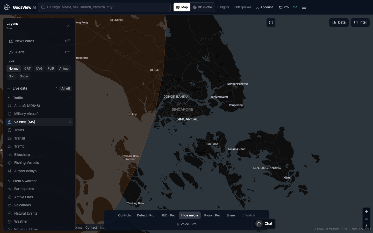
GodsView AI puts live AIS ship positions on a hosted map with a clickable 2D view, a 3D globe, and hazard layers for when a fire, quake or storm is near a port approach. It is a quick way to see traffic in an area without opening several separate tools.
Who this is for
- Brokers and charterers who want a second screen on traffic, not a historical archive
- Port-side operations teams watching vessel density near their berths
- Commodity desks keeping an eye on a chokepoint between specialist data updates
- Anyone who wants to see ships in a region without another maritime login
What it does not cover
GodsView is not built for sanctions compliance, detecting vessels that switch off AIS, or navigation. Ship data comes from a terrestrial AIS stream, so open-ocean coverage is limited, and vessels that are not transmitting do not appear. For those tasks, use a specialist maritime data provider.
Related trackers
Optional email list: subscribe from the page in a browser, or open an account.