Infrastructure
Submarine cable map
The undersea lines that carry most of the public internet, shown alone. Useful as context. It is not your ISP’s network operations center.
Pair with the ship tracker if the story is an anchor in a landing zone. Pair with net-outage layers only after you understand the cable drawing is schematic.
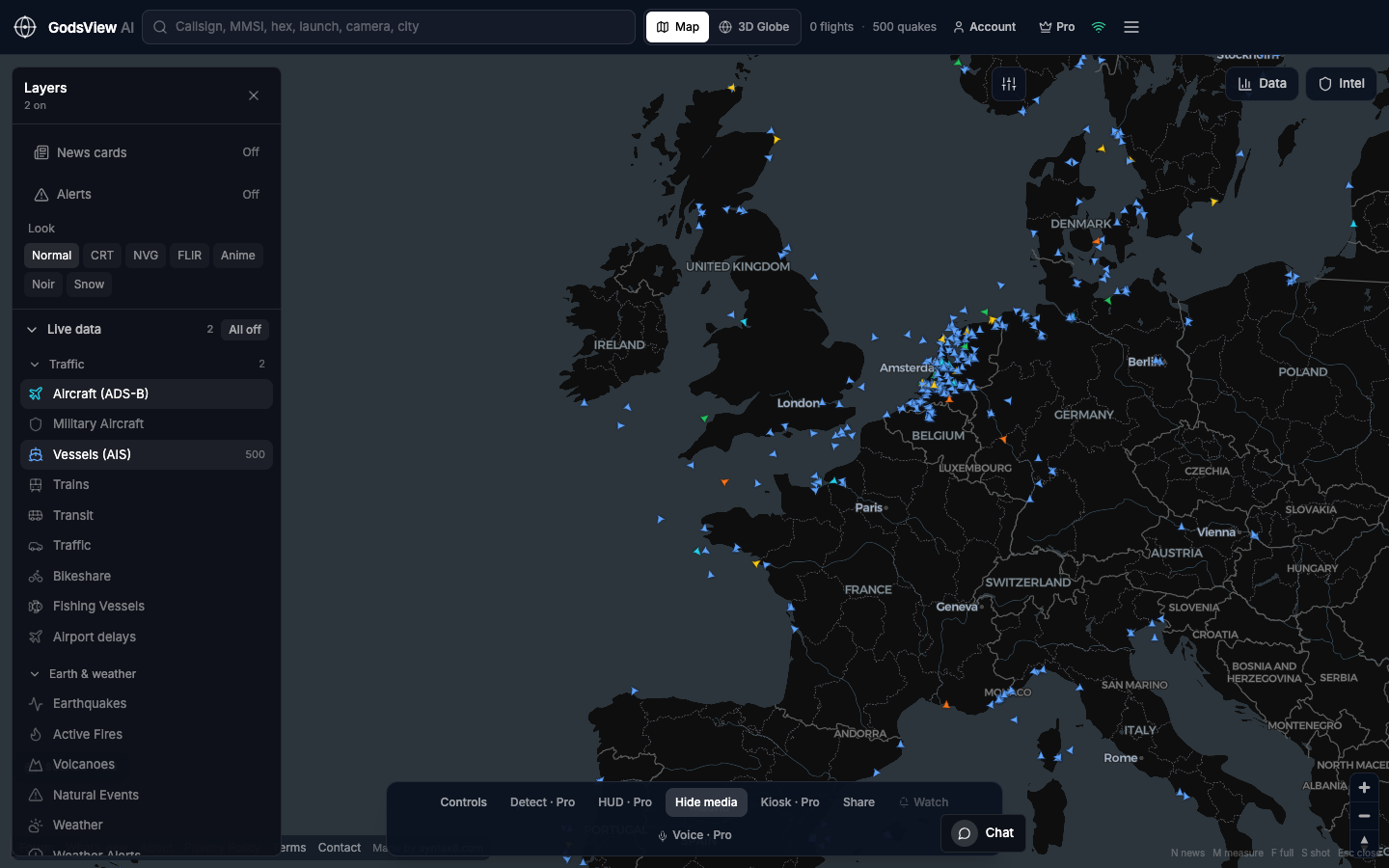
How to use this view
- Launch with internet cables on.
- Zoom a landing (Cornwall, Marseille, Singapore, New Jersey).
- Do not treat a polyline as the centimeter-accurate burial.
Data source, update rate, and limits
Public cable maps and open infrastructure datasets we already host.
Routes are generalized. New cables lag. Outages have many causes besides a cut.
Questions
Is this TeleGeography?
They are a specialist. We host a usable layer on a multi-feed globe.
Can I see data centers too?
Yes — enable that layer after the cable question is clear.
Does a ship on the line mean a cut?
No. That leap is how rumors start.
Do you show outages?
Internet outage layers exist separately and are also incomplete.
Why is this on an intelligence map?
Because cables are geography. Geography is how you start a better question.
Related trackers
Optional email list: subscribe from the page in a browser, or open an account.