Context before the story
A live map for newsrooms
When a story breaks, a live map helps you understand the geography before you write. GodsView AI is built for that step: choose the layer that matches the event, zoom in, note the time, and then confirm with USGS, the FAA, the port authority or the incident page.
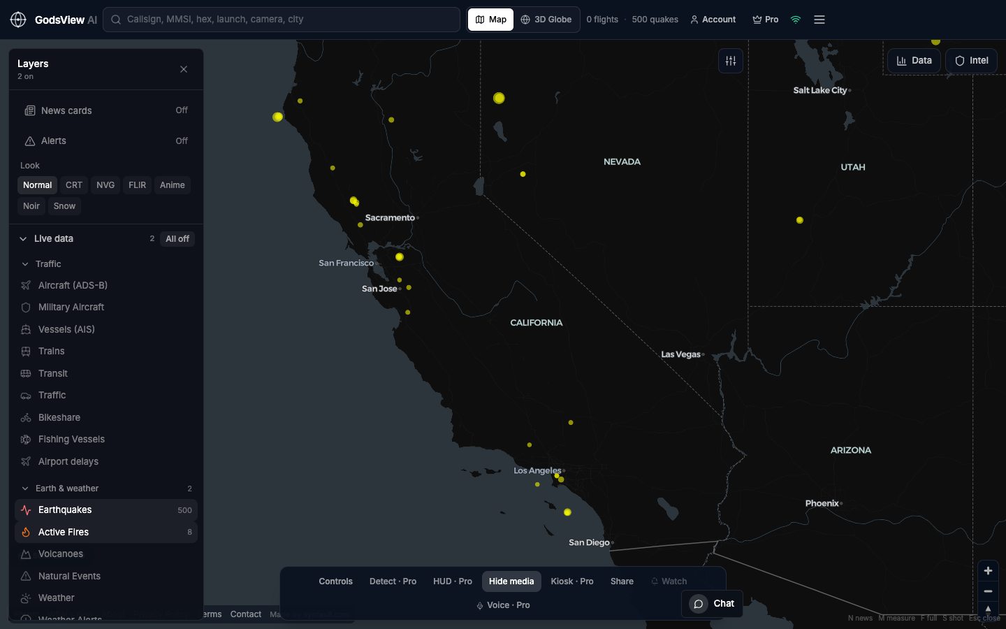
Because GodsView is a website, it opens on a locked-down newsroom laptop without an install, and a share link brings an editor to the same view.
- Earthquake: turn on Earthquakes only.
- Wildfire: turn on Active Fires only.
- Airport disruption: turn on Aircraft only.
- Port or strait: turn on Vessels only.
- Take a screenshot with the time visible, then go to the agency source.
The Ops Center at /ops merges reports of the same event from agencies and a broad news wire and scores them by severity, and the video wall at /ops/wall shows several live news channels side by side.
Related trackers
Optional email list: subscribe from the page in a browser, or open an account.