Alternatives
Liveuamap Alternatives for Conflict and News Maps
Liveuamap pioneered the live news-event map, but researchers often need structured data, frontline maps or wider context. These are the alternatives worth knowing and what each does best.
Key takeaways
- Liveuamap remains a fast, map-first news event feed with 30+ regional maps; Pro adds satellite basemaps, full history and no ads.
- ACLED is the structured, researched dataset to use when you need to count or compare political violence and protest events.
- DeepStateMap focuses on frontline control in the war in Ukraine; GDELT offers raw global news events for analysis.
- World Monitor and GodsView combine conflict news with other live layers; GodsView adds aircraft, ships and a scored incident register.
- Every event map reflects its sources: verify locations and claims before sharing, and use official agencies for safety decisions.
The best Liveuamap alternatives depend on what you need: ACLED for structured, researched conflict data, DeepStateMap for frontline control in Ukraine, GDELT for raw global news events, ReliefWeb and GDACS for humanitarian and disaster information, and World Monitor or GodsView AI for a live dashboard that mixes news with other layers. No single tool replaces Liveuamap in every role, so it often makes sense to combine two or three.
Liveuamap is a map-first feed of news events drawn from news outlets, social media and local reports. It is quick to read, and it covers more than 30 regional maps. Its limits are the ones you expect from a fast feed: free users see ads and get limited history, and accuracy varies with the sources behind each pin.
Below you will find a comparison table, a section on each alternative, pricing checked on October 20, 2026, and a guide to reading any conflict map responsibly.
Open the GodsView geopolitical map
Liveuamap alternatives at a glance
| Tool | What it is | Cost (Oct 2026) | Best for |
|---|---|---|---|
| Liveuamap | Live news-event map, 30+ regions | Free with ads; Pro and API paid | Fast scanning of breaking events |
| ACLED | Researched political violence and protest dataset | Account-based access; see ACLED | Counting, trends, research |
| DeepStateMap | Frontline map of the war in Ukraine | Free to view | Territorial control over time |
| GDELT | Global news event database | Free, open data | Large-scale analysis |
| ReliefWeb | UN OCHA humanitarian information service | Free | Situation reports and maps |
| GDACS | UN and European Commission disaster alerts | Free | Earthquakes, cyclones, floods |
| World Monitor | Open-source geopolitical dashboard | Free; Pro $39.99/month | AI briefs, country context |
| GodsView | Live map plus incident register | Free; Pro $10.99/month | News plus aircraft, ships, hazards |
What Liveuamap does well, and why people look elsewhere
According to Bellingcat's Online Investigation Toolkit, Liveuamap covers global events with dedicated regional maps for areas such as Ukraine, Israel-Palestine, Syria and Libya. Each news item links to its source, you can filter by date and event type, and you can draw shareable polygons and measure distances.
The Pro version adds satellite basemaps, location search, the complete event history and an ad-free view. API access is sold separately: the Bellingcat entry, citing Liveuamap's API page, lists a Pro API plan from $150 per month for 200 requests a day and an Enterprise plan from $1,000 per month for 1,500 requests a day. On the US App Store, the mobile subscription is listed at $1.99, with a half-year option at $10.49, as of October 2026. App store prices vary by country.
People usually look for alternatives for three reasons: they need structured data they can count, they need a specific frontline view, or they want conflict news next to other live data such as flights and ships.
ACLED: researched conflict data
The Armed Conflict Location & Event Data project, ACLED, is a registered US non-profit that codes political violence and protest events worldwide. Where Liveuamap shows events as they break, ACLED reviews and categorizes them, which makes it the standard choice when you need to compare months, countries or actor types.
Its tools include an Explorer that filters and summarizes the past year of data, a Data Export Tool with filters for location, event type and date, downloadable data files, and an API. ACLED publishes use and access guides; check them for the terms that apply to you, especially for commercial use. The trade-off is speed: researched data arrives after the fact rather than minute by minute.
DeepStateMap: frontline control in Ukraine
DeepStateMap is a dedicated map of the war in Ukraine. It focuses on territorial control and frontline changes rather than individual news items, and a date control lets you step back to see how lines moved. For Ukraine specifically, it answers a question Liveuamap is not designed for: who controls which area today.
GodsView includes a DeepState frontline layer on Pro, so you can see the line alongside other data on the Ukraine live map. Frontline maps are assessments built from public evidence, and they can lag or differ from other analysts' maps.
GDELT: raw global news events
The GDELT Project monitors print, broadcast and web news in more than 100 languages and updates its event data every 15 minutes, with archives back to 1979. It is free and open, which makes it powerful for analysts who can work with large datasets.
GDELT is not a curated map. Events are extracted automatically from news text, so duplicates and misplaced locations are common. Treat it as a signal to investigate rather than a verified record. The GodsView Ops Center uses GDELT as one of many inputs and merges duplicate reports into a single incident.
ReliefWeb and GDACS: humanitarian and disaster views
ReliefWeb is the humanitarian information service of the UN Office for the Coordination of Humanitarian Affairs (OCHA). It curates reports, maps and infographics from more than 4,000 sources and offers email alerts and an API. If your interest is the humanitarian side of a crisis, it is more authoritative than any news-pin map.
GDACS is a cooperation between the United Nations and the European Commission that issues alerts and impact estimates after sudden-onset disasters such as earthquakes, tropical cyclones and floods. Its information is openly accessible, including RSS feeds. GDACS alerts feed the GodsView incident register, and ReliefWeb is available as a GodsView Pro layer.
World Monitor: an open-source geopolitical dashboard
World Monitor aggregates hundreds of news and OSINT feeds onto a map with conflict zones, protests drawn from ACLED and GDELT, chokepoints, cables and markets. It adds AI-written country briefs and instability scoring. The core dashboard is free with no signup, and Pro costs $39.99 per month or $359.99 per year as of October 2026. The code is open source under AGPL-3.0. We compare it in detail in GodsView vs World Monitor.
GodsView: conflict news with live movement data
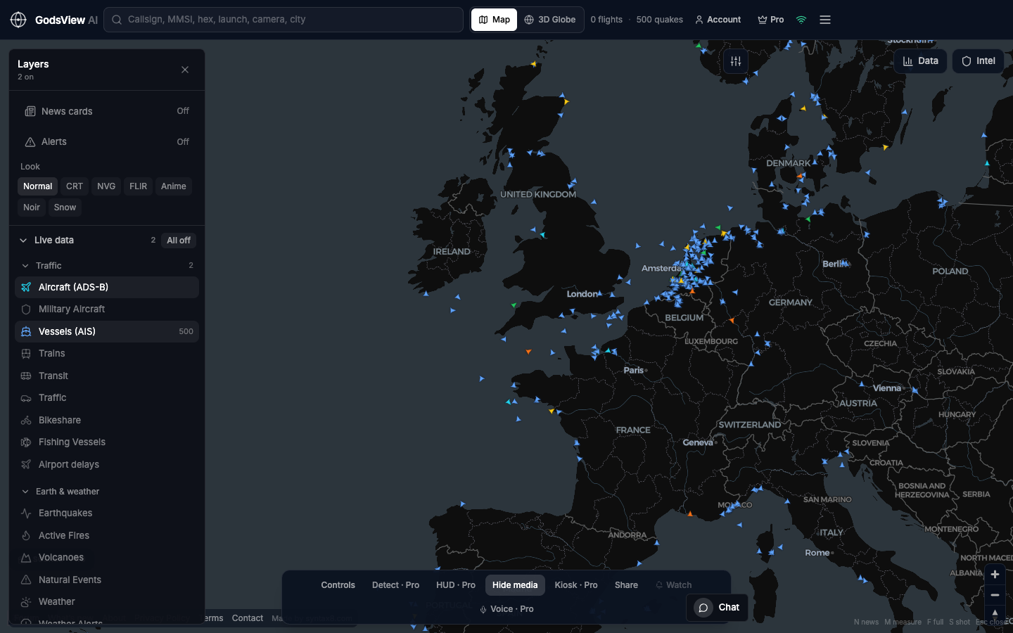
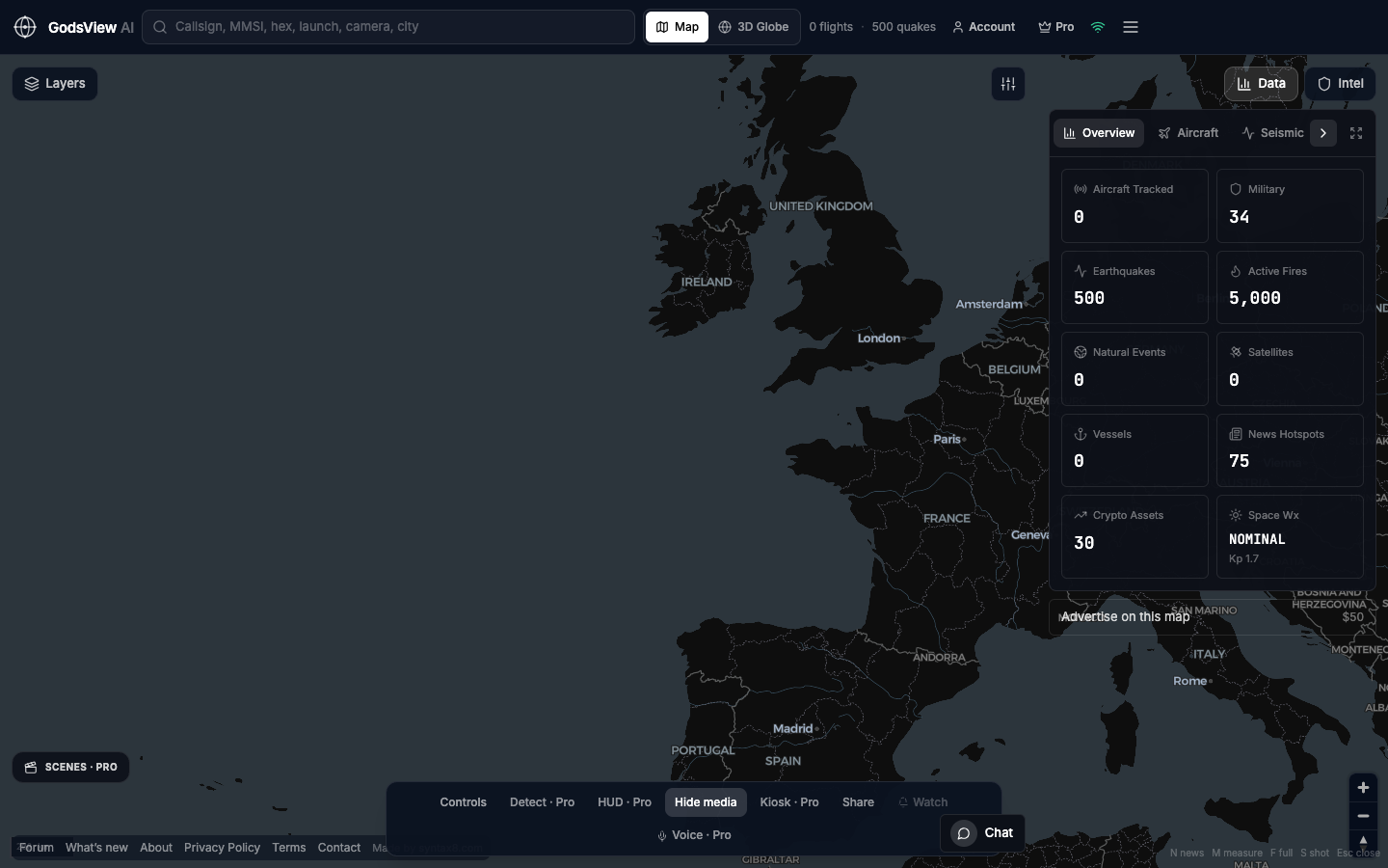
GodsView is a hosted live map that puts news alongside aircraft, ships, satellites and natural hazards. The free tier includes a global news feed and the Ops Center, which merges reports of the same event from sources such as GDELT, GDACS, USGS, WHO, a 50+ outlet news wire and US State Department travel advisories, then scores each incident from 0 to 100. You can filter by region and severity and export CSV or JSON.
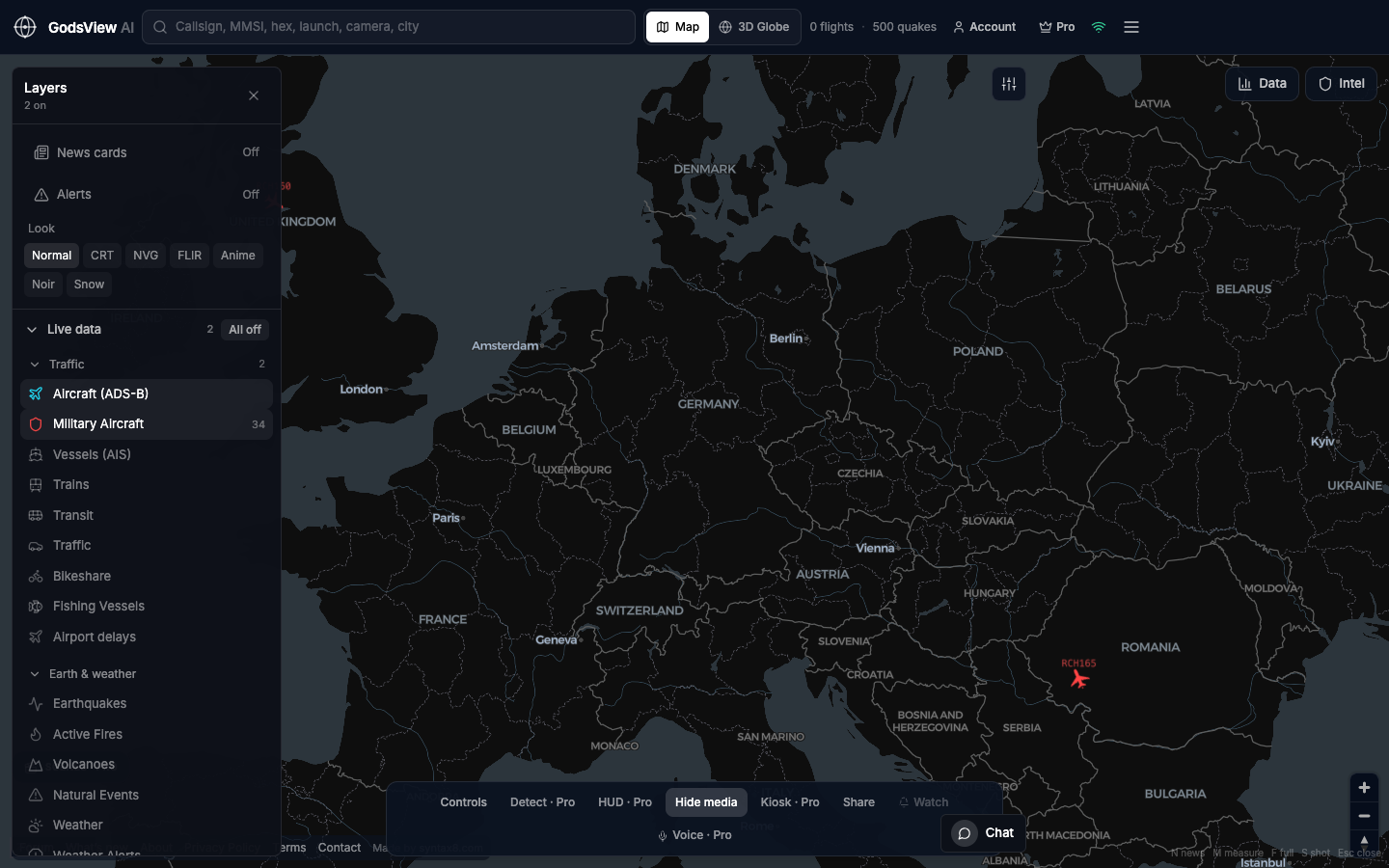
Pro ($10.99 per month, as of October 2026) adds conflict and geopolitical feeds, the DeepState frontline, ReliefWeb, military aircraft, alerts for news mentions and watch areas, live TV and live public cameras. Place pages such as the Middle East live map and Gaza live map open preset views.
GodsView merges and scores reports from its sources rather than researching each event, so it is not a substitute for a coded dataset such as ACLED.
See incidents in the Ops Center
Which Liveuamap alternative should you pick?
- Journalists checking a breaking claim: Liveuamap or GodsView for the first look, then the original source. Our live map for journalists guide covers the workflow.
- Researchers counting events: ACLED.
- Following the war in Ukraine: DeepStateMap, plus a news map for context.
- Data scientists: GDELT, with careful deduplication.
- Humanitarian staff: ReliefWeb and GDACS.
- Analysts who want context in one screen: World Monitor for briefs, GodsView for news plus movement data on the live news map. For a broader field of tools, see our roundup of the best live OSINT maps.
What conflict maps cannot tell you
Every event map is only as good as its sources. Early reports are often wrong about location, casualties or responsibility, and both sides in a conflict publish claims designed to shape perception. A pin on a map looks precise even when the underlying report only names a town. Our explainer on how live conflict maps work explains geolocation, verification and bias in more depth, and what is OSINT covers the wider method.
Timing is another limit. Fast feeds trade accuracy for speed, while researched datasets trade speed for accuracy. Never use any of these maps to decide whether to travel or evacuate; follow official government and agency guidance.
The short version
Keep Liveuamap for fast scanning if it works for you, and add the tool that fills your gap: ACLED for researched data, DeepStateMap for Ukraine's frontline, GDELT for raw news events, ReliefWeb and GDACS for humanitarian and disaster context, World Monitor for AI briefs, and GodsView for news alongside live aircraft, ships and hazards.
Explore world events on GodsView
Frequently asked questions
Is Liveuamap free?
Liveuamap is free to browse with ads and limited history. The Pro subscription adds satellite basemaps, location search, the full event history and removes ads. On the US App Store the subscription is listed at $1.99, with a half-year option at $10.49, as of October 2026. API plans are sold separately and start much higher.
What is the most accurate conflict map?
No live map is fully accurate. For researched data, ACLED reviews and codes events, which makes it more reliable for analysis but slower. For frontline control in Ukraine, DeepStateMap is a dedicated option. Fast news maps such as Liveuamap are best treated as leads to verify against original sources, as explained in how live conflict maps work.
Is there an open-source alternative to Liveuamap?
World Monitor is open source under the AGPL-3.0 license and includes conflict zones and protest layers drawn from ACLED and GDELT. GDELT itself is free, open data covering global news in more than 100 languages, updated every 15 minutes, though it is a dataset rather than a curated map.
Does GodsView show conflict events?
Yes. The free Ops Center merges incident reports from GDELT, GDACS, a 50+ outlet news wire, US State Department advisories and other sources, and scores each one from 0 to 100. GodsView Pro adds conflict and geopolitical feeds, the DeepState frontline for Ukraine and alerts for news mentions in your watch areas.
Does Liveuamap have an API?
Yes, API access is sold separately from the consumer subscription. Bellingcat's toolkit, citing Liveuamap's API page, lists a Pro API plan from $150 per month for 200 requests a day and an Enterprise plan from $1,000 per month for 1,500 requests a day. Confirm current terms with Liveuamap before buying.
Sources
- Bellingcat Online Investigation Toolkit — Liveuamap
- Liveuamap — App Store listing (US)
- ACLED — conflict data tools
- ACLED — about
- DeepStateMap — map of the war in Ukraine
- The GDELT Project
- ReliefWeb — about (UN OCHA)
- GDACS — overview
- World Monitor — pricing
Facts checked on against each provider's own site.