Explainer
Global Vessel Tracking: How Satellites Track Ships
A ship in the middle of the Pacific is far out of reach of any coastal radio. Satellites close part of that gap, radar satellites close more, and some ships stay hidden anyway. Here is how each layer works and what it costs to see it.
Key takeaways
- Shore receivers hear ship AIS out to roughly 20 to 40 nautical miles. A receiver on a satellite at 600 km can hear ships across a circle roughly 2,660 km in radius.
- Satellites struggle in busy waters because they hear thousands of ships at once and the messages collide. ITU names the Dover Strait, Singapore and the north-east US among the hard areas.
- A shorter AIS message (Message 27) on two extra channels was designed so satellites can pick out ships far from shore.
- Radar satellites such as Sentinel-1 see ships through cloud and at night, whether or not they broadcast AIS, but they miss most boats under 15 metres and do not image most of the open ocean.
- A 2024 study in Nature estimated that 72 to 76 percent of industrial fishing vessels are not publicly tracked.
- Free Flightradar-style ship maps mostly use shore receivers. Satellite positions usually need a paid plan, or Global Fishing Watch, which runs about 72 hours behind.
Global vessel tracking works by combining two kinds of AIS receiver: shore stations that hear ships within roughly 20 to 40 nautical miles of the coast, and satellites in low orbit that hear ships across thousands of kilometres of open sea. Where ships do not broadcast at all, radar and optical satellites can still spot the hull. Free "Flightradar for ships" sites exist, but most of them rely on shore receivers, so mid-ocean positions usually need a satellite AIS plan.
This guide is about the satellite side: how a spacecraft hears a ship, why it misses some, and how imagery fills the gaps. If you want the basics of AIS itself, start with what AIS ship tracking is. If you want to find one vessel by name or number, see how to track a ship.
Is there a ship tracker like Flightradar24?
Yes. Several sites put ships on a live map the way flight trackers put planes on one, and most have a free tier. The difference between them is mostly about where the data comes from.
| Tool | Live map | Data source | Satellite AIS | Cost (checked November 2026) |
|---|---|---|---|---|
| GodsView AI | Ships with flights, satellites, quakes, fires and storms | Terrestrial AIS stream | No | Free map with a free account; Plus adds alerts |
| MarineTraffic | Ships | Terrestrial network; satellite on its Enterprise tier | Enterprise tier | Free account; paid plans |
| VesselFinder | Ships | Terrestrial; satellite on its Satellite plan | Satellite plan | Satellite plan $139 a month or $1,399 a year |
| Global Fishing Watch | Fishing and other vessels, plus radar and night-light detections | Satellite and terrestrial AIS, VMS, SAR, VIIRS | Yes | Free; data runs up to about 72 hours behind |
Our MarineTraffic alternatives comparison covers these and more in detail. The short version: for a ship near a coast, port or strait, any free tracker will usually do. For a ship crossing an ocean, you need a service that buys satellite AIS, or you need to accept a delay.
How far can shore receivers hear a ship?
AIS is a VHF radio signal, so it travels roughly line of sight. The Canadian Coast Guard puts typical range at 20 to 40 nautical miles, depending on antenna height, weather and terrain (Canadian Coast Guard). A receiver on a hilltop or tall mast hears farther than one at sea level.
That range is why coastal waters look crowded on free maps and the open ocean looks empty. The ships are there. Nobody on shore can hear them.
How does satellite AIS work?
A satellite AIS receiver is an AIS radio in low Earth orbit. From that height, the horizon is very far away. The ITU's technical report on satellite AIS works through the numbers for three orbits (ITU-R M.2169):
| Orbit altitude | Ground range to horizon | Typical time a ship is in view per pass |
|---|---|---|
| 600 km | 2,664 km (1,438 nm) | 10.2 minutes |
| 948 km | 3,281 km (1,772 nm) | 13.6 minutes |
| 1,000 km | 3,359 km (1,814 nm) | 14.0 minutes |
The visibility times are for a polar-orbiting satellite passing over a ship at 40 degrees latitude, and the ITU notes they vary with the orbit and the ship's latitude.
Compare that with 20 to 40 nautical miles from shore. A single satellite can hear ships over an area more than a thousand times larger than a coastal station covers. That is what makes global vessel tracking possible.
The trade-off is time. One satellite sees a given ship only during a pass of about 10 to 14 minutes. Commercial providers fly many satellites to shorten the gaps, but between passes the position on the map is the last one heard. On a satellite-fed tracker, always check the "last seen" time.
Why do satellites miss ships in busy waters?
Because they hear too many at once.
Ships share the AIS channels using a scheme in which each vessel reserves time slots that nearby ships can hear and avoid. That works well inside a single neighbourhood of ships. A satellite, though, hears many of those neighbourhoods at the same time. Ships hundreds of kilometres apart, which never heard each other, can pick the same slot, and at the satellite their messages arrive on top of each other.
The ITU report lists three technical limits for satellite reception and names the trouble spots: high-traffic areas such as "the Dover Straits, Singapore, North East United States of America, and the northern Gulf of Mexico." The limits it cites are:
- Messages from ships at different distances arrive at slightly different times and overlap.
- Too many messages in the satellite's footprint.
- Difficulty separating AIS from other radio traffic in the footprint.
The fix the ITU proposed was a new, shorter message built for space: Message 27, a long-range position report sent every 3 minutes on two additional channels proposed for satellite reception. Its simulations found that a 3-minute interval could reach 100 percent detection of Class A ships, if ships already in range of a shore base station skipped the satellite message and small-boat Class B units were left out. That is why satellite AIS works best for large commercial ships far from shore, and worst for small boats in crowded coastal seas.
Terrestrial vs satellite AIS: which do you need?
| Terrestrial AIS | Satellite AIS | |
|---|---|---|
| Range | Roughly 20 to 40 nm from a receiver | Thousands of km per satellite |
| Update rate | Every few seconds for a moving Class A ship in range | Depends on how many satellites pass; gaps between passes |
| Best in | Ports, straits, coasts, rivers | Open ocean, remote coasts |
| Weak in | Mid-ocean, remote coasts | Very dense traffic; small Class B boats |
| Typical cost | Often free | Usually a paid plan |
| Good for | Watching a harbour or chokepoint live | Following a voyage across an ocean |
If you want to watch traffic through the Strait of Hormuz, the English Channel or Singapore, terrestrial data is fast and dense; our shipping chokepoints map guide covers those. If you want to know where a tanker is halfway between Brazil and South Africa, you need satellite AIS.
Dark ships: when AIS is off or never on
Not every vessel shows up on an AIS map, even with satellites. Some are not required to carry AIS at all; Global Fishing Watch points out that carriage rules depend on vessel size and where it operates (Global Fishing Watch user guide). Others switch it off, for legal reasons such as piracy risk or for reasons they would rather hide. Our AIS explainer covers the rules on switching AIS off and how positions get spoofed.
The scale of the gap became clearer in January 2024. A study in Nature led by Global Fishing Watch combined five years of radar and optical satellite imagery with AIS records. It found that 72 to 76 percent of the world's industrial fishing vessels are not publicly tracked, with much of that fishing around South Asia, Southeast Asia and Africa, and that 21 to 30 percent of transport and energy vessel activity is missing from public tracking systems (Paolo et al., Nature, 2024).
So an empty patch of sea on a ship map means "nothing heard," not "nothing there."
How do satellites see ships that don't broadcast?
With pictures instead of radio. Three kinds of imagery are in public use.
Radar (SAR)
Synthetic aperture radar sends microwaves down and measures what bounces back. A steel hull reflects strongly against the sea, so it shows up as a bright spot. Global Fishing Watch says SAR works through "clouds, rain, daylight or darkness" and uses imagery from the European Space Agency's Copernicus Sentinel-1 mission.
The Nature study spells out the limits:
- Size. Sentinel-1's standard product has a resolution of about 20 metres, so the study "miss[ed] most vessels less than 15 m in length." Metal boats are easier to see than wood or fibreglass, and rough seas hide small targets.
- Coverage. "Sentinel-1 does not sample most of the open ocean." It concentrates on coastal waters, which is also where most industrial activity is.
- Frequency. With two satellites, Sentinel-1 mapped coastal waters roughly every 6 days. One of the original pair stopped working in December 2021. Its replacements, Sentinel-1C and 1D, launched in December 2024 and November 2025, and the Copernicus programme says the six-day revisit was re-established in late June 2026 (Copernicus Data Space).
- Shorelines. Global Fishing Watch excludes a 1 km buffer from shorelines, so harbours and beaches are not covered.
Optical imagery
Sentinel-2 takes visible and near-infrared pictures at 10 metres, with a combined revisit of about 5 days, according to the same study. Optical images are easier for people to read, but clouds, haze and darkness block them.
Night lights
The VIIRS sensor can pick up bright lights on the dark ocean at night. Global Fishing Watch uses it to show vessels such as squid jigging fleets that fish with bright lights, while warning that many vessels fish without lights and that some detections are false positives.
Matching detections to AIS
The useful step is the comparison. Global Fishing Watch checks each radar detection against AIS. If a ship was broadcasting at that spot and time, the detection is "AIS matched" and gets a name and type. If not, it is "AIS unmatched": a vessel that public tracking could not see (Global Fishing Watch user guide).
Can you watch a ship live from a satellite?
Not in the way the phrase "ship satellite viewer" suggests. There is no free, live video of ships from space.
- Satellite AIS gives you positions, not pictures, and it is usually minutes to hours old depending on the provider.
- Radar and optical images are snapshots taken during a pass, days apart for any one place. Free viewers such as the Copernicus Browser let you look at Sentinel images, but you are looking at a moment that has already passed.
- Global Fishing Watch shows vessel activity and detections from 2012 up to about 72 hours ago, so it is a research tool, not a live one.
For "where is this ship right now," AIS on a live map is still the answer. For "was there a ship here that didn't show on AIS," radar imagery is.
What GodsView shows, and what it doesn't
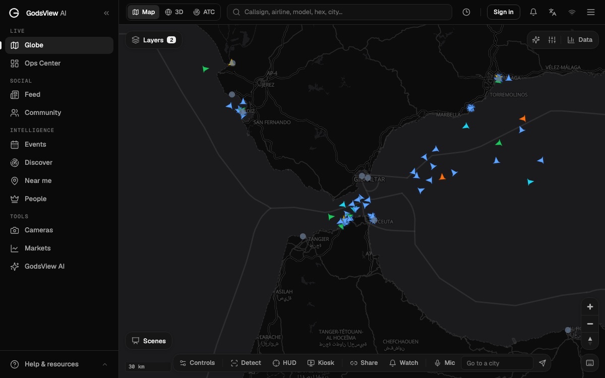
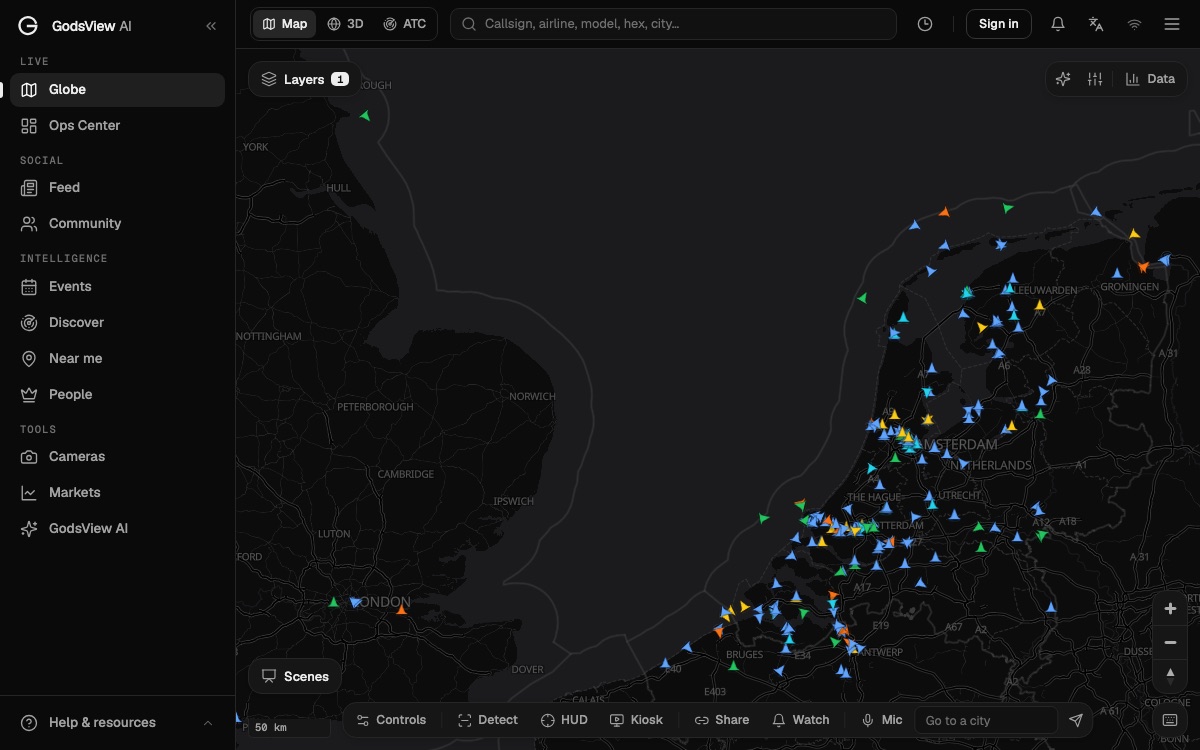
GodsView puts ships on the same map as flights, satellites, earthquakes, wildfires and storms. Its ship layer comes from a terrestrial AIS stream collected by coastal receivers and refreshes about every 30 seconds (live ship tracker). That makes it strong in ports, straits and along coasts, and thin far offshore.
What you can do:
- Open the live ship tracker, which starts at the Singapore Strait with vessels switched on, and pan to any port.
- Search a ship by name or MMSI, then open it to see speed, course, heading, status and destination. The ship tracking tutorial walks through it.
- Turn on flights or hazards when a story involves both a port and an airport, or a storm near a shipping lane.
- With GodsView Plus, add a ports layer, a fishing-vessel layer that uses Global Fishing Watch vessel identity data, and arrival and departure alerts. See pricing.
What it doesn't do: GodsView does not buy satellite AIS and does not show SAR detections. For mid-ocean positions, use a satellite plan from a maritime provider. For dark-vessel research, use Global Fishing Watch directly. The maritime awareness page is clear about the same limits.
See ships, flights and hazards on one map
Which tool should you use?
| You want to... | Use |
|---|---|
| Watch a port, strait or coastline live, free | A terrestrial tracker such as the GodsView ship map |
| Follow a ship across an ocean | A paid satellite AIS plan |
| Find fishing vessels that were not broadcasting | Global Fishing Watch radar detections (AIS unmatched) |
| See what a stretch of coast looked like on a given day | Sentinel imagery in the Copernicus Browser |
| See ships next to flights, storms and quakes | GodsView |
Whichever you pick, read the time stamp. A ship's position is only as current as the last message someone heard.
Frequently asked questions
Is there a ship tracker like Flightradar24?
Yes. GodsView, MarineTraffic and VesselFinder all show ships on a live map with a free tier. Free maps mostly use shore receivers, so ships far offshore may be missing unless you pay for satellite AIS.
How do satellites track ships?
Mostly by listening. Satellites in low orbit carry AIS receivers that hear the position reports ships broadcast on VHF. Radar satellites such as Sentinel-1 can also detect hulls that do not broadcast, through cloud and at night.
How far can a satellite hear a ship's AIS?
According to the ITU, a satellite at 600 km has a ground range to the horizon of about 2,664 km. A shore receiver typically hears ships only 20 to 40 nautical miles away.
Why does satellite AIS miss ships in busy areas?
A satellite hears thousands of ships at once. Ships that are too far apart to coordinate can transmit in the same time slot, so their messages collide. The ITU names the Dover Strait, Singapore and the north-east US among the difficult areas.
Can I see a live satellite image of a ship?
Not for free in real time. Sentinel radar and optical images are snapshots taken days apart, viewable in the Copernicus Browser. For a ship's current position, use AIS on a live map.
What are dark ships?
Vessels that do not appear on public AIS, because they are not required to carry it or have switched it off. A 2024 Nature study estimated that 72 to 76 percent of industrial fishing vessels are not publicly tracked.
Does GodsView use satellite AIS?
No. GodsView uses a terrestrial AIS stream, which is strong near coasts, ports and straits and thin in mid-ocean. It does not show SAR detections.
Sources
- ITU-R Report M.2169 — Improved satellite detection of AIS
- Paolo et al. — Satellite mapping reveals extensive industrial activity at sea (Nature, January 2024)
- Global Fishing Watch — Press release on the Nature study (January 3, 2024)
- Global Fishing Watch — Map user guide (SAR, VIIRS, AIS matching)
- Copernicus Data Space Ecosystem — Sentinel-1 orbital reconfiguration dates (2026)
- Canadian Coast Guard — How AIS works on board ships
- VesselFinder — Plans and pricing
- MarineTraffic support — Online plans
- Copernicus Browser
Facts checked on against each provider's own site.