Explainer
Georgia Wildfire Map: Live Fires and the Burn Season
Georgia burns more land on purpose than almost any other state, so a satellite fire map of Georgia is full of dots most of the year. Here is how to find the ones that are real wildfires, and where to check for official word.
Key takeaways
- For a live Georgia wildfire map, open a satellite fire map of the state, then check the Georgia Forestry Commission and InciWeb for named fires and local emergency management for evacuations.
- Georgia prescribed-burned about 1.47 million acres in fiscal year 2025, so many hotspots on a Georgia map are planned burns, not wildfires.
- Georgia's main wildfire season runs from February through May, when dry, windy days follow winter.
- You do not need a permit to burn hand-piled yard debris, but agricultural, land-clearing and storm-debris burns need one from the Georgia Forestry Commission, and it is good only for the day it is issued.
- The biggest fires in Georgia's record have been in and around the Okefenokee Swamp: the 2007 fires burned more than 564,000 acres across Georgia and Florida, and the 2017 West Mims Fire 152,515 acres.
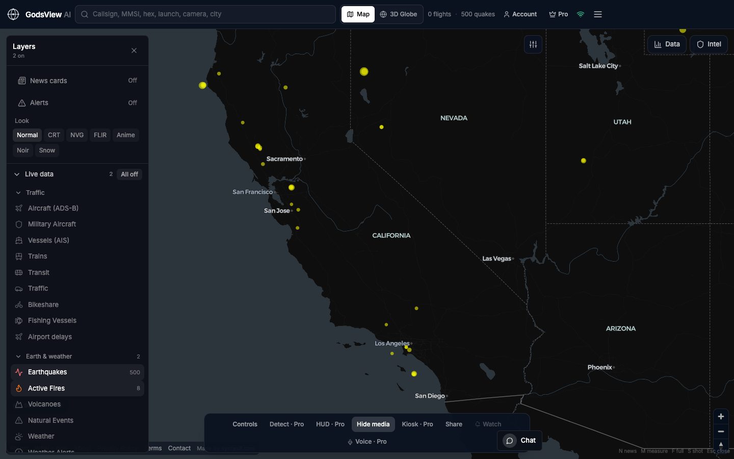
To see wildfires in Georgia right now, open a live satellite fire map of the state, such as GodsView's wildfires in Georgia page, then check the Georgia Forestry Commission and InciWeb for named fires and your county's emergency management for evacuations. Expect to see a lot of dots. Georgia uses prescribed fire on well over a million acres a year, so most hotspots on a Georgia map on a calm winter day are planned burns. The skill is telling those apart from the wildfire that is actually moving toward a road or a town.
This guide explains how to read a Georgia wildfire map, how the state's burn season and permit rules work, what the Okefenokee fires of 2007 and 2017 taught Georgia, and where to get official fire and evacuation information.
How to read a live Georgia wildfire map
Almost every free wildfire map, including GodsView, shows satellite detections from NASA's FIRMS service. A detection is a satellite pixel that was hotter than its surroundings when the satellite passed over. It is not a fire perimeter and it doesn't say what is burning.
On GodsView's Georgia page you get:
- every fire cluster in Georgia from the last 24 to 48 hours (detections within about 5 km of each other are grouped and named after the nearest city)
- each cluster's number of detections, peak fire radiative power in megawatts, and when it was first and last seen, in local time
- the Georgia cities with a detection within 80 km, each linking to a city page with distance, direction and current wind
City pages such as wildfires near Savannah, Valdosta, Augusta, Macon and Atlanta are the quickest way to answer "is that smoke near me?". The fires also appear on the live wildfire map next to weather warnings and air quality.
Three things to keep in mind when you read it:
- Satellites pass over about twice a day. A fire that started after the last pass will not be there yet.
- Small fires are often missed. Georgia has many small wildfires that firefighters stop at a few acres. They may never show up from orbit.
- Fire radiative power helps. A low-intensity, single-pixel detection that appears once is typical of a small burn. A cluster with many detections and high FRP that grows over several passes is a fire worth checking on.
Our NASA FIRMS explainer covers pixels, FRP and confidence in more detail.
Why Georgia's map is full of dots: prescribed burning
Georgia is one of the country's heaviest users of prescribed fire. According to the Georgia Forestry Commission (GFC), the state prescribed-burned about 1.47 million acres in fiscal year 2025, and issued more burn permits that year than in any year in the 31 years the GFC has kept records. Georgia consistently ranks among the top three states for prescribed fire, and the state marks Prescribed Fire Week in the first full week of February.
Landowners and agencies burn for practical reasons. Southern pine forests build up fuel quickly. A low, controlled fire every few years clears the brush and pine straw that would otherwise feed a hot, destructive wildfire. The GFC also lists better wildlife habitat and help with reforestation among the benefits. The GFC director has called prescribed fire "the single best tool we have as forest land managers".
For anyone reading a fire map, the result is simple. On a calm, dry day between January and April, a scatter of small, short-lived detections across south and central Georgia is usually prescribed burning and farm burning, not a wildfire outbreak.
How to tell them apart:
| Clue | Prescribed or permitted burn | Wildfire |
|---|---|---|
| Timing | Daytime, on a calm day with moderate humidity | Any time, often on a dry, windy day |
| Behaviour on the map | Appears on one pass and is gone by the next | Grows or persists across several passes |
| Intensity | Low fire radiative power | Often higher, and rising |
| Official record | Covered by a GFC burn permit, not a named incident | Named incident with acres, from GFC or InciWeb |
| Smoke | Usually announced or expected locally | Unexpected, often with road closures |
None of these is proof on its own. If you're worried about a specific column of smoke, call the local GFC office or 911.
Georgia's wildfire season
The GFC describes Georgia's main wildfire season as running from February through May. Winter frosts kill and dry the grasses, the trees have not yet leafed out, humidity drops and spring winds pick up. Escaped debris burns, where a backyard or field burn gets away in the wind, are one of the most common starts.
Some years are far worse than others. In spring 2026, Georgia's fires were fed by drought and by debris from Hurricane Helene. The Associated Press, reporting in April 2026, said 98% of Georgia's land area was in moderate to exceptional drought, that Helene had affected nearly 14,000 square miles of Georgia forestland in September 2024, and that a fire near the coast had destroyed more than 50 homes. A GFC spokesman told the AP: "There's a ton of old Hurricane Helene debris down in the woods... it's just a tinderbox out there" (AP via WRDW).
Downed trees matter because they are heavy fuel lying on the ground. They dry out, burn hotter than pine straw and grass, and are slow and dangerous for crews to cut lines through. Areas of south and east Georgia that took the worst Helene damage will carry that extra fuel for years.
Burn permits: when you need one and how to get it
Georgia changed its burn rules in 2021. Here is what the GFC says now:
- No permit needed for burning hand-piled natural vegetation and yard debris (leaves and limbs only), since July 1, 2021. You still have to follow the safety rules below and any local ordinance.
- Permit needed for agricultural, silvicultural (forestry) and land-clearing burns, for burning vegetative storm debris, for machine-piled debris and for air curtain destructors.
- How to get one: call 1-800-GA-TREES (1-800-428-7337) or use the GFC's online permit system. A permit is good only for the day it is issued.
- Summer ban: Georgia's Environmental Protection Division bans most open burning in 54 northern Georgia counties from May 1 to September 30 each year, for air quality.
Georgia law also says you can only burn natural vegetation from the property where it grew. Burning household garbage, lumber or plastic is illegal.
For hand-piled debris, the GFC's "S-S-T-A-R" safety rules are:
- Space: at least 25 feet between the fire and woodlands.
- Space: at least 50 feet between the fire and structures.
- Time: burn only between sunrise and sunset.
- Attendance: someone responsible stays with the fire until it is out.
- Reasonable precautions: have tools and water ready to stop an escape.
If your fire does escape, call 911 right away. The longer you try to handle it yourself, the bigger it gets.
The Okefenokee fires: 2007 and 2017
The largest fires in Georgia's modern record have burned in and around the Okefenokee Swamp, on the Florida line in Ware, Charlton and Clinch counties. In drought, the swamp's water drops, its peat and vegetation dry out, and fires can burn for months.
2007: Sweat Farm Road and Big Turnaround
On April 16, 2007, a tree limb brought down a power line on private land about ten miles west of Waycross, starting the Sweat Farm Road Fire (USDA Forest Service and partners). It ran into the Okefenokee National Wildlife Refuge, where it became part of the Big Turnaround Fire, during prolonged drought and record low water levels in the swamp.
The GFC describes it as burning 20,000 acres in its first 48 hours and more than 564,450 acres across Georgia and Florida, together with the fires it joined, before it was contained in July 2007. It damaged nine homes and destroyed about $65 million of timber. For the US Fish and Wildlife Service, the Big Turnaround Fire was its most expensive wildfire ever at the time and its largest outside Alaska.
2017: West Mims
On April 6, 2017, lightning started the West Mims Fire on West Mims Island in the refuge, about 7 miles east of Fargo. Over three months it burned 152,515 acres in Georgia and Florida. According to the National Weather Service in Jacksonville, it forced a mandatory evacuation of St. George and much of southern Charlton County, and closed roads when it crossed Georgia Highway 94 on May 7. It was declared 100% contained on July 10, 2017.
What they mean for a map today
Swamp fires behave differently from the quick grass and pine fires of a typical Georgia spring. They can sit in the refuge for weeks, flare up when wind picks up, and send heavy smoke over towns around the swamp, such as Waycross and Folkston. On a satellite map, a long-lived cluster inside the refuge that keeps showing up pass after pass is one of these. Check the refuge, the GFC and InciWeb for its status, and watch the wind direction on the nearest city page to see where the smoke is going.
Official Georgia fire sources
| Source | Use it for |
|---|---|
| Georgia Forestry Commission (gatrees.org) | Wildfires on state and private land, burn permits, fire weather and local GFC offices |
| InciWeb (inciweb.wildfire.gov) | Named fires managed by federal agencies, such as on the Okefenokee refuge or the Chattahoochee-Oconee National Forest |
| County emergency management and sheriff | Evacuation orders, shelters and road closures |
| National Weather Service | Red flag warnings and fire weather watches |
| Georgia EPD | Air quality and the summer open-burning ban |
GodsView's Georgia page links InciWeb and reminds you that evacuation orders come from local authorities, because it only sees satellite heat. It doesn't show perimeters, containment or evacuation zones.
Smoke, air quality and red flag days
Smoke is how most Georgians notice a fire. Even a fire well inside the Okefenokee can push smoke into towns 50 km away, and prescribed burns are timed for days when smoke rises and clears, but a shift in wind can still put it on a highway at dawn.
- Check the AQI for your city, for example air quality in Atlanta, when you smell smoke. Our guide on what air quality index is bad explains the colour bands.
- Watch for red flag warnings from the National Weather Service. They mean low humidity and strong wind, the conditions in which burns escape. Don't burn on those days even if your burn is legal. See watch vs warning for what the alert levels mean.
- Drive carefully in smoke and fog. Smoke settling into low ground overnight can drop visibility on rural roads to near zero.
Get alerts for fires near your home
County emergency alerts are the official route for evacuations, and most are opt-in, so sign up with your county before fire season. Turn on Wireless Emergency Alerts on your phone.
GodsView can add a second layer. On My places, add your town, a relative's home or a hunting camp near the Okefenokee, and GodsView watches 50 km around it for wildfire alerts and satellite fire hotspots, plus earthquakes, severe weather and unhealthy air. Checking a place is free; saving it and getting alerts needs a paid plan. See our guide to disaster alerts near home. In Georgia, expect fire hotspot alerts to include prescribed burns, so treat them as "check this", not "leave now".
For the bigger picture, our guides to checking for a fire near you and the Oregon wildfire map cover how other states handle fire information.
Frequently asked questions
Is there a live wildfire map for Georgia?
Yes. GodsView's wildfires in Georgia page lists satellite-detected fire clusters in the state from the last 24 to 48 hours, with city pages for anything within 80 km. Confirm named fires with the Georgia Forestry Commission or InciWeb.
Why are there so many fires on the Georgia map?
Georgia burns a lot of land on purpose. The Georgia Forestry Commission says about 1.47 million acres were prescribed-burned in fiscal year 2025. Planned and farm burns show up on satellite maps the same way wildfires do.
When is wildfire season in Georgia?
The Georgia Forestry Commission says Georgia's main wildfire season runs from February through May, when vegetation is dry, humidity is low and spring winds are strong.
Do I need a burn permit in Georgia?
Not for hand-piled leaves and limbs, since July 1, 2021, but you must follow the safety rules and local ordinances. Agricultural, land-clearing, storm-debris and machine-piled burns need a GFC permit, which is good only for the day it is issued.
What was the biggest wildfire in Georgia?
The 2007 fires that began with the Sweat Farm Road Fire near Waycross on April 16, 2007. The Georgia Forestry Commission says they burned more than 564,450 acres across Georgia and Florida before containment in July 2007.
How big was the West Mims Fire?
The lightning-caused West Mims Fire started on April 6, 2017 in the Okefenokee National Wildlife Refuge and burned 152,515 acres in Georgia and Florida. It was declared contained on July 10, 2017.
Sources
- Georgia Forestry Commission: Burn permits and notifications
- Georgia Forestry Commission: State recognizes value of good fire
- Georgia Forestry Commission: Reflections on the big fire of 2007
- Georgia Forestry Commission: Wildfires in Georgia
- National Weather Service Jacksonville: West Mims Fire, April to July 2017
- ForestsAndRangelands.gov: Okefenokee firefighting, 2007
- AP via WRDW: Debris from Hurricane Helene is helping fuel Georgia's wildfires (April 2026)
Facts checked on against each provider's own site.