Explainer
What Is a Tsunami? Causes, Warnings and How to Check
A big earthquake hits somewhere in the Pacific and the first question on every coast is whether a tsunami is coming. Here is what a tsunami actually is, what makes one, how the US warning system works, and where to look for a real answer in minutes.
Key takeaways
- A tsunami is a series of ocean waves made when a large volume of water is suddenly pushed up or down, usually by an undersea earthquake. Landslides, volcanoes and even weather can cause them too.
- In the deep ocean a tsunami can travel at over 500 mph yet be less than 3 feet high. Near shore it slows to about 20 to 30 mph and piles up into dangerous surges.
- In the US, two NOAA centres issue the alerts: the National Tsunami Warning Center in Palmer, Alaska, and the Pacific Tsunami Warning Center in Honolulu.
- A Warning means widespread flooding is possible; an Advisory means strong currents and dangerous waves near the water; a Watch means a tsunami may come later.
- To check right now, go to tsunami.gov. If you feel a strong or long earthquake on the coast, move to high ground without waiting for an alert.
A tsunami is a series of ocean waves caused by a sudden, large movement of water, most often when an undersea earthquake lifts or drops the seafloor. To check whether there is a tsunami warning right now, in California, Hawaii or anywhere in the US, go to tsunami.gov, run by NOAA's two tsunami warning centres. If you are on a coast and feel strong or long shaking, don't wait for any alert: move inland or to high ground straight away.
The rest of this guide explains how tsunamis form, why they are so different from normal waves, what each type of alert means, and what GodsView can and can't tell you after a big quake.
What is a tsunami?
The word is Japanese for "harbour wave". A tsunami is not one wave and it is not a tide. It's a train of waves, often minutes to an hour apart, that moves the whole depth of the ocean rather than just the surface.
That's the key difference from a wind wave. A storm wave at the beach might have a few seconds between crests and stir only the top of the water. A tsunami has a wavelength of tens to hundreds of miles. When it reaches land it doesn't break and fall back; it behaves more like a fast tide that keeps coming, flooding inland, then drains back out with enormous force, dragging debris with it.
Two consequences matter for safety:
- The first wave is often not the largest. Later waves can be bigger, and the danger can last for hours.
- The sea may pull back first. If the trough arrives before the crest, the water drains away from the shore and exposes the seabed. People who walk out to look are caught by the wave that follows.
Why tsunamis happen: the main causes
Anything that displaces a large volume of water quickly can start a tsunami. NOAA lists earthquakes, landslides, volcanic activity, certain weather systems and, very rarely, near-Earth objects (tsunami.gov).
Subduction zone earthquakes. These cause most damaging tsunamis. At a subduction zone, one tectonic plate dives under another. The plates lock together, the upper plate bends for decades or centuries, then the fault slips in a great earthquake and the seafloor springs up. The whole column of water above it is lifted, and gravity spreads that bump outward as a tsunami. That's why the size, depth and type of the quake matter: a shallow, magnitude 8 or 9 quake that moves the seafloor up or down is far more likely to make a tsunami than a deep quake or one where the plates slide sideways. Our new explainer on why earthquakes happen covers plate boundaries in more detail.
Landslides. Rock falling into a bay, or an underwater slope collapsing, can make very tall local waves. In 1958 an earthquake shook a rockslide into Lituya Bay, Alaska, and the water stripped trees from the slope opposite up to 1,720 feet (524 m) above sea level. Landslide tsunamis are usually local, but they can arrive within minutes, before any warning.
Volcanoes. Eruptions can cause tsunamis through explosions, collapsing flanks or pyroclastic flows entering the sea. The 1883 eruption of Krakatau in Indonesia caused tsunamis that killed tens of thousands of people. In December 2018, part of Anak Krakatau collapsed and the resulting tsunami killed more than 400 people with almost no warning. In January 2022 the Hunga Tonga–Hunga Haʻapai eruption sent tsunami waves across the Pacific. For volcanoes active today, see is a volcano erupting right now.
Weather. Fast-moving storms and pressure jumps can push up "meteotsunamis", usually smaller but able to flood harbours and beaches.
How fast does a tsunami travel?
Tsunami speed depends on water depth. In the deep ocean, NOAA says a tsunami moves "as fast as a jet plane, over 500 mph" and can cross an entire ocean in less than a day. In 15,000 feet of water that works out to about 475 mph (765 km/h). Yet out there it is usually less than 3 feet (1 m) high, so ships barely notice it pass (NOAA).
As it reaches shallow water near land, it slows to about 20 to 30 mph. The front slows first while the back keeps coming, so the wave shortens and grows taller and the currents get stronger.
| Where the wave is | Typical speed | What it looks like |
|---|---|---|
| Deep ocean (about 15,000 ft) | About 475 to 500+ mph | Under 3 ft high, hundreds of miles long, hard to see |
| Continental shelf | Slowing quickly | Growing taller as the water shallows |
| At the shore | About 20 to 30 mph | A fast rising surge or wall of water; faster than you can run |
Those speeds are why a tsunami from Chile can reach Hawaii in about 15 hours, but a tsunami from a quake just offshore can hit the nearest coast in minutes.
Where tsunamis happen
Most tsunamis, roughly 80 percent by NOAA's count, happen in the Pacific, around the Ring of Fire, the chain of subduction zones that runs from New Zealand and Indonesia up through Japan, Kamchatka and Alaska and down the west coast of the Americas to Chile. But any ocean with a subduction zone or unstable slopes can produce one: the 2004 tsunami struck the Indian Ocean, and the Caribbean and Mediterranean have tsunami histories too.
NOAA says destructive tsunamis happen about twice a year somewhere in the world near their source, and about twice a decade on distant shores (tsunami.gov).
California. The coast faces two threats: distant tsunamis from Alaska, Japan or Chile, and a local one from the Cascadia subduction zone off northern California, Oregon and Washington. Crescent City in Del Norte County is one of the most tsunami-prone towns on the US West Coast; the 1964 Alaska tsunami killed people there. To see recent earthquakes near California's big cities, open earthquakes near Los Angeles or near San Francisco.
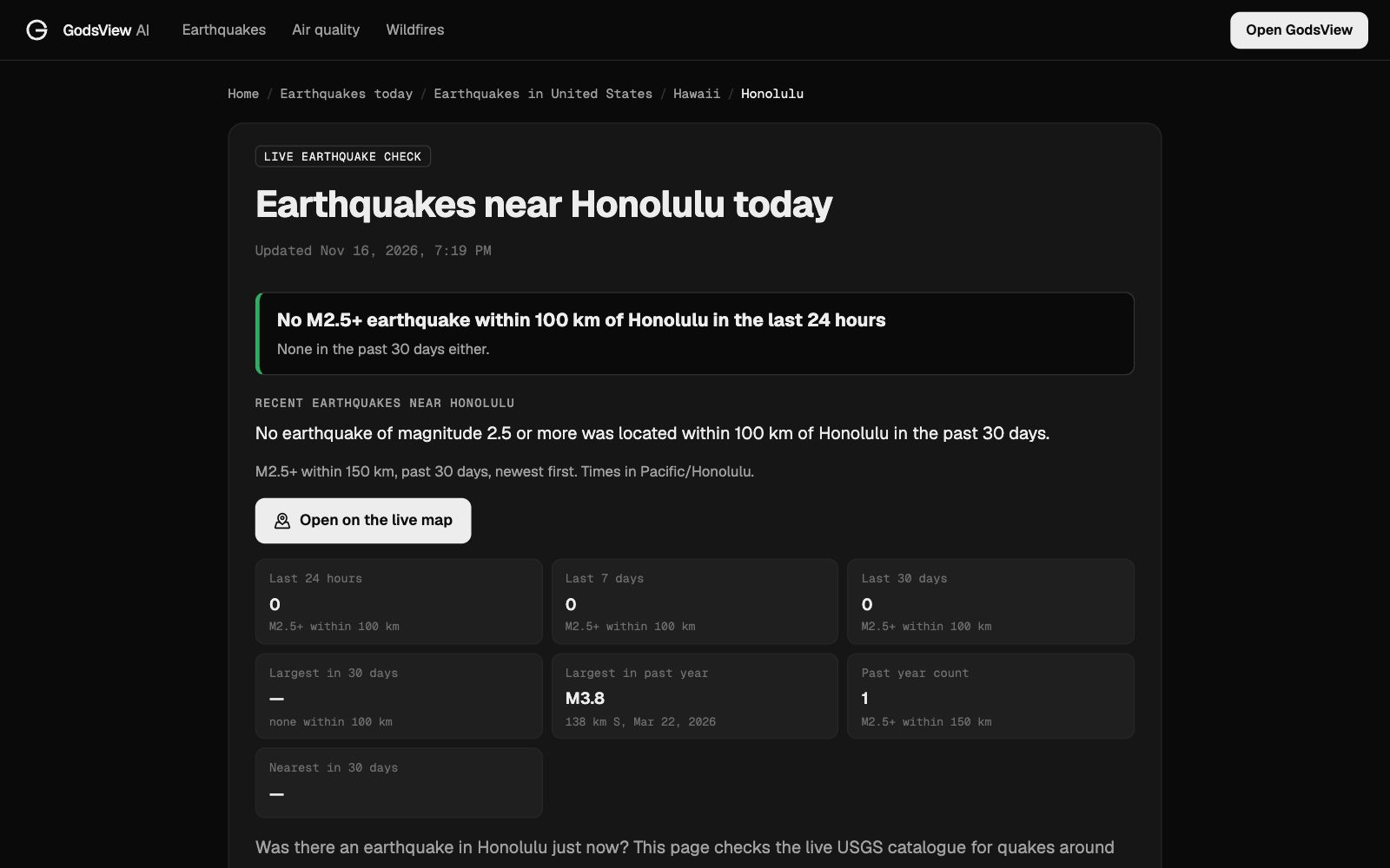
Hawaii. The islands sit in the middle of the Pacific, so a big quake anywhere around the rim can send a tsunami their way, and local quakes on the Big Island can cause one too. The earthquakes near Honolulu page shows recent nearby activity.
Alaska. The Aleutian subduction zone has produced some of the largest tsunamis on US soil. See earthquakes near Anchorage.
Tsunami warning, advisory, watch: what each alert means
The US Tsunami Warning System uses five types of message. These are the definitions from the warning centres (tsunami.gov):
| Alert | Official meaning | What to do |
|---|---|---|
| Tsunami Warning | A tsunami with the potential to generate widespread inundation is imminent, expected or occurring | Move to high ground or inland, follow evacuation orders |
| Tsunami Advisory | A tsunami with the potential to generate strong currents or waves dangerous to those in or very near the water is imminent, expected or occurring | Get out of the water and away from beaches, harbours and marinas |
| Tsunami Watch | A tsunami may later impact the watch area | Stay alert and be ready to act if it is upgraded |
| Information Statement | An earthquake or tsunami has occurred that may interest recipients, but no destructive threat is expected | Usually no action |
| Threat Message | Describes possible tsunami hazards for international partners | For governments outside the US; US areas use the warnings above |
The logic is similar to weather watches and warnings: a watch means "be ready", a warning means "act now". An advisory is in between, and people underestimate it. Strong currents in harbours can drown swimmers and wreck boats even when the water never floods the streets.
Who issues tsunami warnings in the US
NOAA runs two tsunami warning centres, both part of the National Weather Service:
- The National Tsunami Warning Center (NTWC) in Palmer, Alaska covers the continental US, Alaska and Canada. It began in 1967 as a direct result of the 1964 Great Alaska earthquake and took its current name in 2013.
- The Pacific Tsunami Warning Center (PTWC) in Honolulu covers Hawaii, the US Pacific and Caribbean territories and the British Virgin Islands, and sends threat messages to other countries around the Pacific and Caribbean. US tsunami warnings started in 1949 in response to the 1946 Aleutian tsunami, which killed more than 150 people in Hawaii.
When a large quake happens, the centres use its location, depth and magnitude to issue first messages within minutes, then refine them with sea-level gauges and deep-ocean pressure sensors (DART buoys) that detect the wave as it passes.
How to check if there is a tsunami warning right now
- Go to tsunami.gov. The map and message list show every current US warning, advisory and watch, and the latest message from each centre. If nothing is listed for your coast, there's no US alert in effect.
- Check your phone and local alerts. Warnings go out through Wireless Emergency Alerts, NOAA Weather Radio, local TV and radio, and in many coastal towns, outdoor sirens. Your county or state emergency agency posts evacuation zones and orders.
- Outside the US, follow your national agency, such as the Japan Meteorological Agency or Indonesia's BMKG.
- Check what triggered it. The earthquakes today page lists the latest USGS quakes worldwide, so you can see where and how big the triggering quake was.
Be careful with social media after a big quake. Old tsunami footage is recirculated every time, and screenshots of expired warnings travel for hours after they are cancelled. Check the time stamp on the official message.
Natural warning signs: when not to wait
For a local tsunami, the ground is the warning. The US warning centres list three natural signs (tsunami.gov):
- A strong or long earthquake. If shaking makes it hard to stand, or lasts a long time, a tsunami could follow.
- A loud roar from the ocean, like a train or an airplane.
- Unusual ocean behaviour: a sudden rise in water, a wall of water, or the sea draining away and exposing the seafloor.
If you notice any of these at the coast, go to high ground or as far inland as you can, on foot if roads are jammed. Stay there until officials say it's safe, because more waves can follow for hours. For what to do in the first minutes after you feel a quake, see was that an earthquake just now.
Notable tsunamis and what they taught
- 1946, Aleutian Islands. A tsunami from an Alaska quake killed more than 150 people in Hawaii, many in Hilo. It led to the first US tsunami warning centre in 1949.
- 1960, Chile. The magnitude 9.5 Valdivia earthquake, the largest ever recorded, sent a tsunami across the Pacific. About 15 hours later it reached Hilo and killed 61 people.
- 1964, Alaska. The magnitude 9.2 Good Friday earthquake caused tsunamis that killed people in Alaska, Oregon and California, including in Crescent City. Most tsunami deaths in Alaska came from local waves raised by underwater landslides within minutes.
- 2004, Indian Ocean. The magnitude 9.1 Sumatra–Andaman earthquake on December 26 caused the deadliest tsunami on record, killing about 228,000 people in more than a dozen countries. The Indian Ocean had no warning system at the time; one was set up afterwards.
- 2011, Japan. The magnitude 9.1 Tōhoku earthquake on March 11 caused a tsunami that left about 18,000 people dead or missing and led to the Fukushima Daiichi nuclear accident.
- 2025, Kamchatka. A magnitude 8.8 earthquake off Russia on July 29 (UTC) set off alerts across the Pacific. Hawaii was put under a Tsunami Warning, later downgraded to an Advisory; waves of up to about 5.7 feet were measured there. Parts of northern California were under a warning and the rest of the state's coast under an advisory. Damage in the US was limited, which shows how warnings can be right to sound the alarm even when the worst case doesn't happen.
What GodsView shows (and what it doesn't)
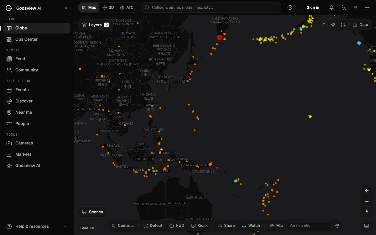
GodsView puts the USGS earthquake catalog on a live map, refreshed about every 2 minutes, with tsunami alerts and GDACS disaster alerts as free layers on the live map. The live earthquake map, the earthquakes today page and the city pages show whether recent nearby quakes carried the USGS tsunami flag, and link straight to official messages on tsunami.gov.
Two things to know about that:
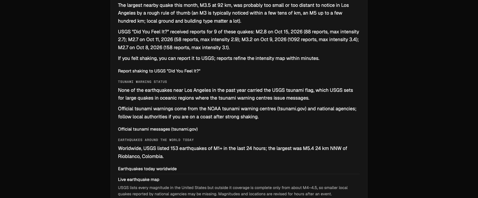
- The USGS tsunami flag is not a warning. USGS sets it for large quakes in ocean regions where the warning centres issue messages. It doesn't mean a tsunami happened.
- GodsView is not an early-warning system. It shows what official agencies have published, a few minutes after they publish it. For tsunami warnings and evacuation orders, keep your phone's emergency alerts on and follow the warning centres and local officials.
If you want a message when a significant quake hits near your home or family, GodsView Plus and Pro can alert you for M4.5+ earthquakes and GDACS disaster alerts near saved places. Setup is in how to get disaster alerts near home, and our guide to reading an earthquake map explains magnitude, depth and why the first numbers change.
Frequently asked questions
What is a tsunami?
A series of ocean waves caused by a sudden, large displacement of water, usually from an undersea earthquake. Unlike wind waves, a tsunami moves the whole depth of the ocean and floods inland like a fast, rising tide.
Is there a tsunami warning right now?
Check tsunami.gov, which lists every current US Tsunami Warning, Advisory and Watch from the National Tsunami Warning Center and the Pacific Tsunami Warning Center. Outside the US, check your national agency.
Is there a tsunami warning in California or Hawaii?
Tsunami.gov shows current alerts for both. California alerts come from the National Tsunami Warning Center in Palmer, Alaska; Hawaii alerts come from the Pacific Tsunami Warning Center in Honolulu.
What is the difference between a tsunami warning and a tsunami advisory?
A Warning means widespread flooding of land is possible, so move to high ground. An Advisory means strong currents and dangerous waves in or near the water, so get out of the water and away from beaches and harbours. A Watch means a tsunami may arrive later.
How fast does a tsunami travel?
Over 500 mph in the deep ocean, according to NOAA, where it may be less than 3 feet high. Near shore it slows to about 20 to 30 mph, still faster than a person can run, and grows much taller.
Does every big earthquake cause a tsunami?
No. Tsunamis are most likely from large, shallow undersea quakes that move the seafloor up or down. Deep quakes, inland quakes and quakes where plates slide sideways rarely cause damaging tsunamis.
Can GodsView warn me about a tsunami?
GodsView shows official tsunami alerts and earthquakes on its live map, but it is not an early-warning system. Rely on tsunami.gov, Wireless Emergency Alerts and local officials for warnings.
Sources
- US Tsunami Warning Centers: Tsunami FAQ (tsunami.gov)
- US Tsunami Warning Centers: current messages
- NOAA JetStream: Tsunami propagation
- NOAA National Tsunami Warning Center: History
- USGS Earthquake Hazards Program
Facts checked on against each provider's own site.